Bye-bye desert

Miles: 676.2 to 702.4

Miles: 26.2, plus .8 to the Kennedy Meadows General Store

Day: 32

For our last day in the desert, we woke up on a ridge in a cloud. Our stuff was wet, but fortunately not too wet. No droplets on the sleeping bags, just dampness in abundance. 

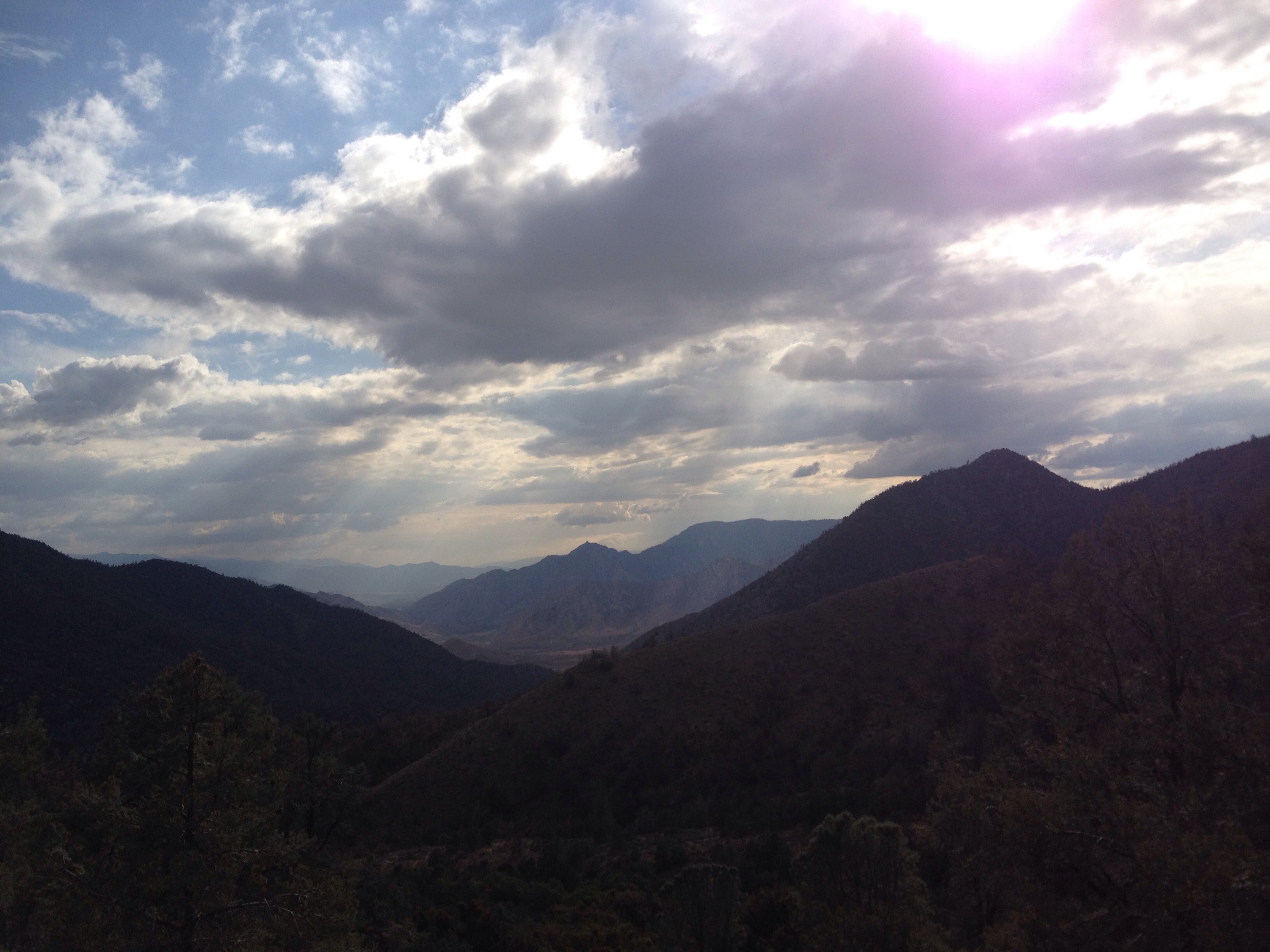
And it was cold. We started down the ridge while eating breakfast just to get moving. Looking up to the nearest peak, there was blue sky and bright sun. Looking down below us on the ridge was also shining sun. The cloud was sitting right at 7,000 feet on us. 

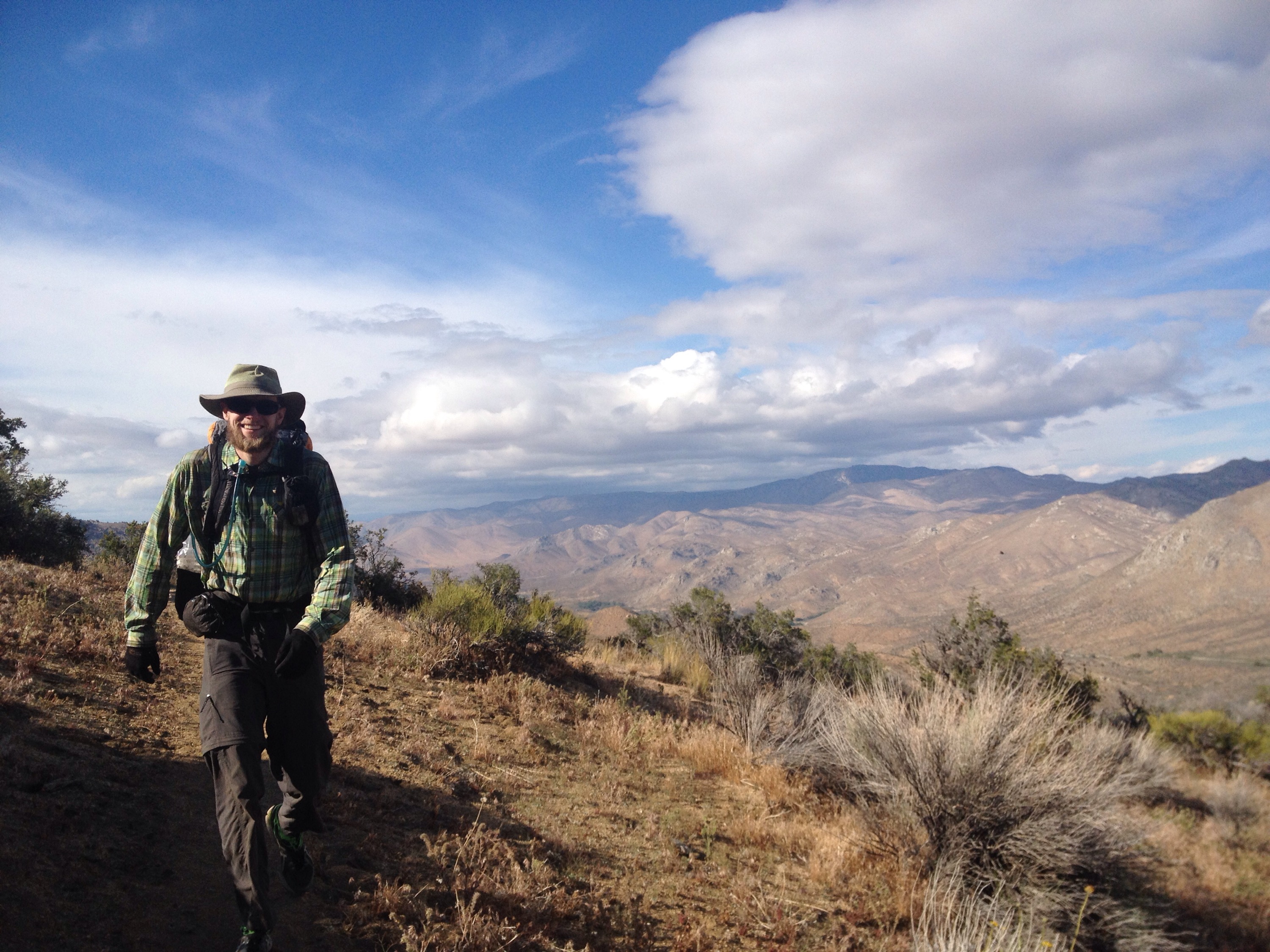
Once we got down under the cloud, it was just a matter of following the trail across the valley to area in direct sunshine. Then we were warm and happy. 

We got a little more water to supplement our stores for the last climb in the desert section. It would be a long, but not terribly steep, ascent to 8,000 feet. 

I was afraid my feet would start bothering me so I put in my headphones and let the music distract me. Richard listened to medical podcasts. The higher we got, the more clouds rolled in to cover the sun. 

We were able to get completely up and over the peak before the rain came. And fortunately, it fell mainly on ridges around us rather than on is directly. We just got some residual drops. But the wind make its presence known for us. I looked forward to getting my wind jacket in Kennedy Meadows for the hundredth time since starting the trail. 

My favorite part of the day was listening to old mix-albums my brother-in-law, Dave, made me years ago while hiking through pine needle lined trail as we slowly made our way closer to Kennedy Meadows. 

We got to the General Store around 4:30 p.m. I immediately dropped my pack and took off my shoes. Inside the store we started a tab and bought a bunch of junk food. 

We’d hoped to get a ride to a nearby diner for dinner, but they were closed. Instead we ate two bags of potato chips — the big bags — bananas, Gatorade and tomato juice. We had intended to add some canned vegetables to Ramon noodles but the chips and bean dip filled us up, if you’ll believe it. 

We sorted through our food drops and fell asleep early, double checking that the alarm was off before we closed our eyes.
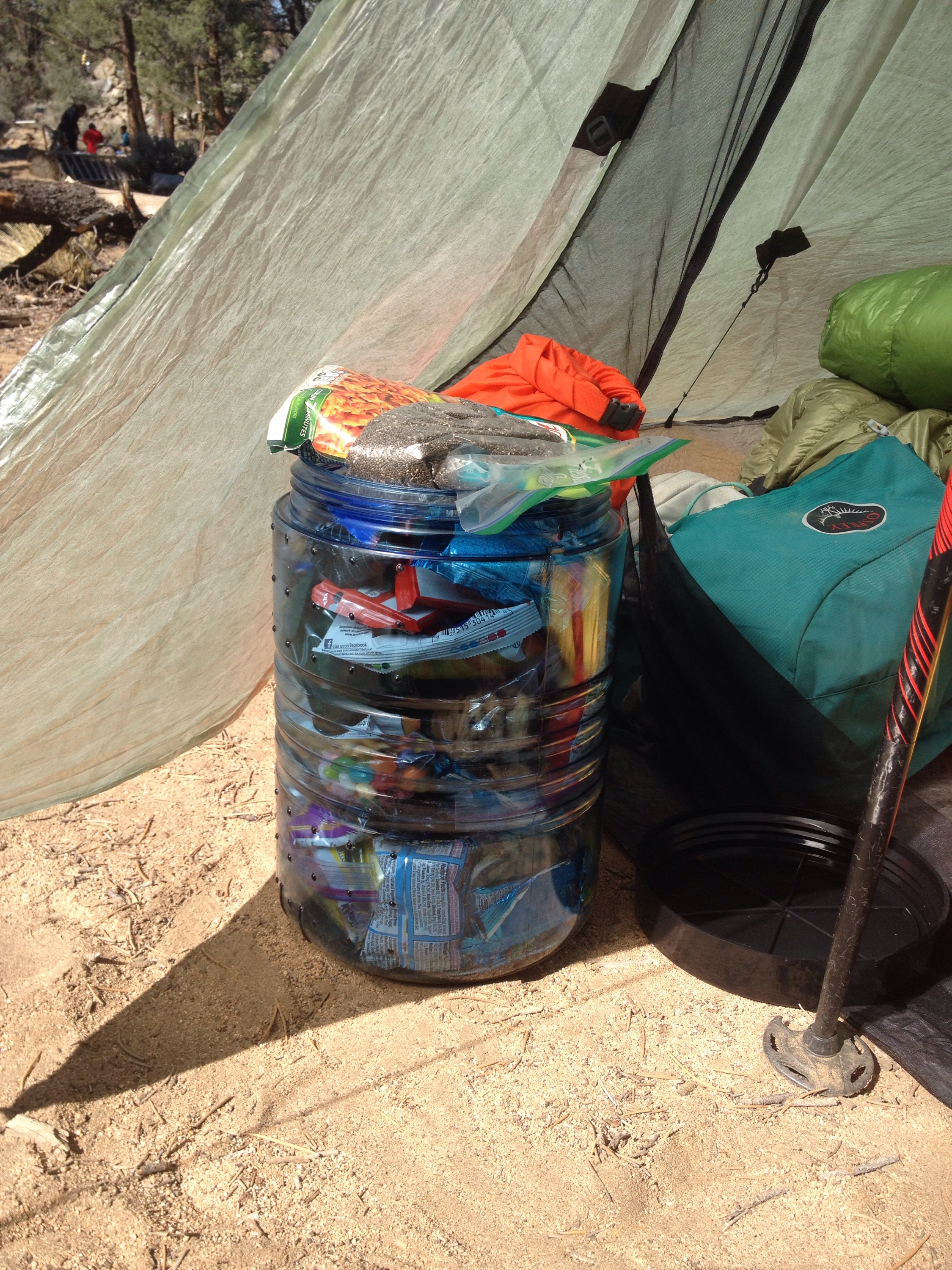
my bear canister overfloweth. for the Sierras we are required to carry and store our food in bear canisters. They are heavyand take up much room in a pack, but have shown to keep the bears alive, so here goes heavy.

The trail provides

Miles: 651.4 to 676.2

Mileage: 24.8

Day: 31

We let ourselves sleep in a bit. The 30 mile day was enough to deserve a little reward, we thought. Plus, if we left too early we would miss Trail Angel Twinkle Toes making breakfast. 

At 6:45 we lugged our stuff up to the picnic table where Twinkle Toes was set up. I made coffee in the canister stove and Richard had hot chocolate. Twinkle Toes made eggs which we stuffed into tortillas and dressed them with hot sauce. I also made two peanut butter and jelly sandwiches, heavy on the jelly, for the hike. I was running low on food. I knew these sandwiches would allow me to get to Kennedy Meadows avoiding long stretches without calories or stealing from Richard’s stash.

We set off around 8:30 a.m. with full stomachs and fine feet. Despite the long day beforehand, my feet felt great. Not sure why because they were not happy 12 hours earlier. The magic of sleep, maybe?

The first part of the day was a climb in the Owens Peak Wilderness. It wasn’t bad, the views were nice. The best part, however, was that we were able to get internet service for the first time in days!

  
I had been wanting very badly to order new shoes and Richard was expecting an important email. It felt so nice to be in the sun, high on a ridge knowing my feet only had to endure another 50 miles in their current shoes before relief would come via UPS. 

We stopped at the first water source for a short, shoes off break. I ate most of my peanut butter sandwiches and loved every bite. 

We had two more climbs that day; one short and one long. We decided we had enough water to push on to the next water source in six miles, just over the short climb. 

My feet felt okay for the next hour or so but were definitely ready to break well before the water stop. It seems the toes on my right foot are working their way to becoming numb on the bottoms. However, the numbness goes away with a surge of pain at seemingly random times. It’s my AT foot problem again, but this time with more toes involved. Yay!

We ate dinner at the water source to avoid carrying an extra liter and a half. I got my first mosquito bites. 

After dinner came the long climb. Starting on a full stomach was a little uncomfortable for a bit, but I was glad for the fuel halfway up when it started to get steep. 

We intended to put in about three miles past the summit of the climb. At the top we ran into a hiker named Panda Bear. He started the same day as us at the Mexico border. He told us five other hikers were ahead and intended to camp at the same spot we were headed for. We decided to take the first flat and empty spot we could find. 

We had the tent up and were snuggling in our sleeping bags as the sun went down. 

30 miles for water

Miles: 621.9 to 651.4

Mileage: 29.5 (plus 2 for water)

Day: 30

In order to hike with the least amount of water possible between sources, we decided to try to cover all 30 miles in one day. We knew it was possible, would certainly take all day and would be pretty painful.

We got up around 5 a.m., packed up slowly and set off from the water source, which was two miles off the trail — thanks, desert! Between us we carried nine liters of water. 

The day started cold, as they tend to do in the desert. But this time, it took a while for the sun to really warm things. I left my gloves, ear cover, pants and arm warmers on for about seven miles. The incessant wind kept things cool. 

We had to keep stopping to get the sand out of our shoes. Richard’s are just woven really loosely and mine have holes in the uppers, so it’s like a sand box in there. I can’t wait for dirt!

We had one big climb for the day, which we hit around 11 a.m. It was exposed and long but when we got to the top, it nearly felt like we’d left the desert on the south side of the ridge. There were trees and grass and wild flowers everywhere. And we got our first views of the Sierras. 


We took a break part way down and tried in vain to get Internet service. I really needed to order new shoes to Kennedy Meadows. Before we finished the Sierras mine would be four hundred miles too old and as they were already starting to be painful, I was nervous about putting more miles on them. For cheap shoes, they’d lasted almost 500 miles. Good enough for retirement. 

I tried all day to get internet access, but it was a no go. Without new shoes, I would have to be living on ibuprofen to make it through the miles. 

By mile 20, I really slowed down. My feet were sore but also my general energy level was down. I tried to keep eating but the trail just seemed to keep going up hill all the time. 

Around 6 p.m. we finally got a downhill. We dropped over 1,000 feet in five miles, which isn’t steep, but was steady. We could see the road we were going to hit most of the time, which just makes the descent seem longer. 

When we were less than a mile from the campsite, it came into view. I had read that trail angels often set up at this spot during hiker season. And I was thrilled to see they were there. 

A lovely former hiker named Twinkle Toes made us soup and offered us access to any calories we could find in the five coolers set up. 

We ate for about an hour and then crashed hard. Despite sore feet and worn muscles we slept very well. 

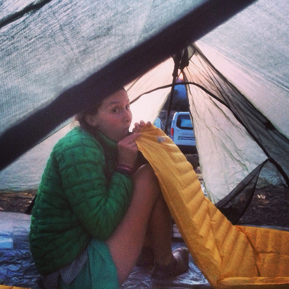
Making my bed for the night.

From winter to spring in 24 hours in the desert

Miles: 596.6 to 621.9

Mileage: 25.3 (plus 2.2 to get water)

Day: 29

I was really hoping the rain would stop at some point overnight. It didn’t.

We stayed in our sleeping bags and hoped the rain would stop. It didn’t. 

We ignored the alarm, ignored the lightened sky, ignored the water on everything. If you don’t open your eyes, it may not exist. 

wakey, wakey

Finally we concluded that the only way down off the rainy, snowy mountain was up. We put away our wet sleeping bags and tent, changed back into our wet clothes and started hiking. The first part of the trail today was a climb. Of course. 
And as soon as we gained a little bit of elevation, the rain turned to snow. I don’t have many pictures of the morning because I could ‘t feel my hands most of the time. 

By noon we were off the mountain and could even see patches of blue sky. I was very happy to be out of the clouds because I was feeling mildly hypothermic up there. My poncho is a great ventilating waterproof layer. But the ventilation was also letting all my heat out when I needed it most, like while trying to collect water. 

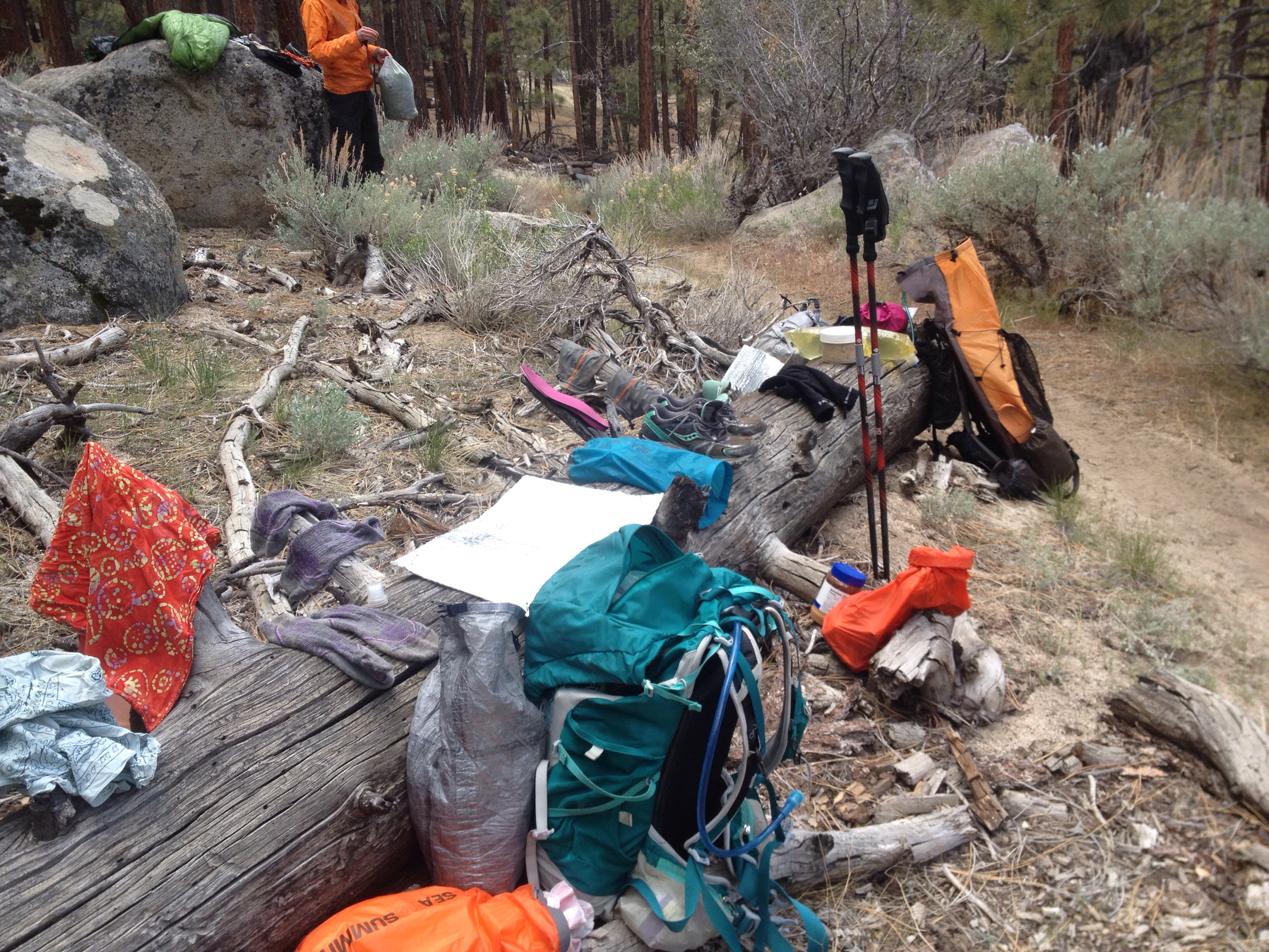
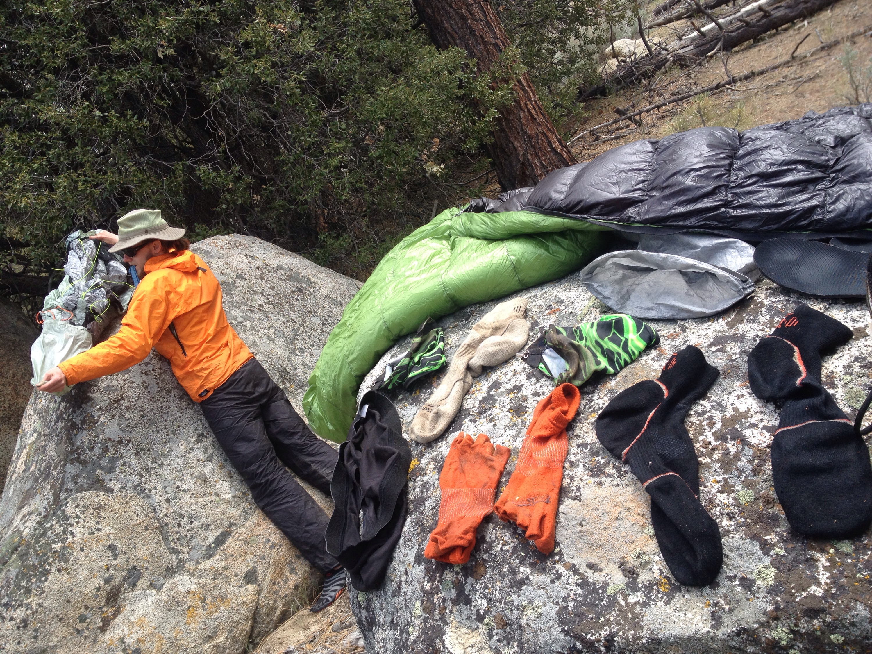
But the sun eventually cured me of my coldness. We stopped for an hour and a half in the woods with our stuff spread over rocks and logs trying to dry everything.  


Dry gear is such a dream.
 

 The afternoon was tough. We needed to hit the next water source about 14 miles after our drying break. The trail was all trudging through sand. My shoes have many holes in the mesh uppers so sand gets in really easily. 

We finally made it to the water source, which was two miles off the trail and downs dirt road, just before dark. We set up the tent, made dinner and crashed. 

Although the afternoon hike was tough, for about three miles, it was also really beautiful and probably made the whole day worth it.

The Super Wind Attacks!

Miles: 569.9 to 596.6

Mileage: 26.7

Day: 28

Not long after we’d set up our tent, chewed on a few last minute snacks, brushed our teeth and zipped up our sleeping bags, the wind started. 

And not just any wind. An angry wind. Wind that tried all night, hours on end, to push us off the mountain. I’ve never seen or heard a tent move like that. It whipped the poor thing. I’m really quite surprised it never came apart. The only visible result of the whole night on the tent was some fraying of one of the guy lines from the 30-pound rock I had to put on top of the stake to keep it from coming out of the ground. 

Speaking of which, I’m also surprised it took until 4 a.m. for one of the tent stakes to come out. Not surprisingly, it was one of the structural ones, so that also brought the tent down with it. 

And lastly, I’m surprised we didn’t just get up and start hiking after the tent fell. Although, we did consider it. 

Once we did get moving, we had to spend a couple of hours hiking in the Super Wind before we got to a point in the trail with some trees to act as a break. It was awful. A few times I was seriously worried I would get knocked off my feet and end up somewhere down on Interstate 58. I don’t think I’ve ever hiked in wind that strong, even on Mt. Washington in New Hampshire, which boasts the highest recorded wind speed on earth. I get why someone installed hundreds of wind turbines along that corridor. 


The long hike up from Interstate 58.
 
The rest of the morning was slow moving. We didn’t get much sleep with the noise of the wind, so I know that slowed me down a lot. 

I don’t generally get hangry. I get fatigue-gry. Even two consecutive nights of poor sleep and I hate all of you. 

Poor Richard has to deal with my basic loss of emotional control at least once every time we go on a trip that lasts four days or longer. I have a feeling on the PCT, it will happen more than once. 

We lunched at the only water source we’d see that day and met some new hikers. 

Right at the end of lunch, the clouds that had been threatening rain all morning let loose. We grabbed for our rain layers and threw the rest of our stuff together. 

We set off through the rain to try to put in another dozen miles and find a tent spot sheltered from the wind. 

We did find that spot. However, the rain from lunch came in waves over us for the afternoon and about an hour before we stopped, it set in for the night. 

While we stayed dry in our sleeping bags, everything else got wet. The condensation on the inside of the tent would spray down on us and our stuff whenever a new droplet would land on the outside of the tent. I had to sleep with my face in my sleeping bag to keep from getting splattered constantly. But, hey; no wind. 

Wind farm walking

Miles: 549 to 569.9

Mileage: 20.9

Day: 27

The morning was cold up on the mountain and we were reluctant to get out of our sleeping bags. Yet we did, and left camp with many layers on that had to be removed soon after we started walking. 

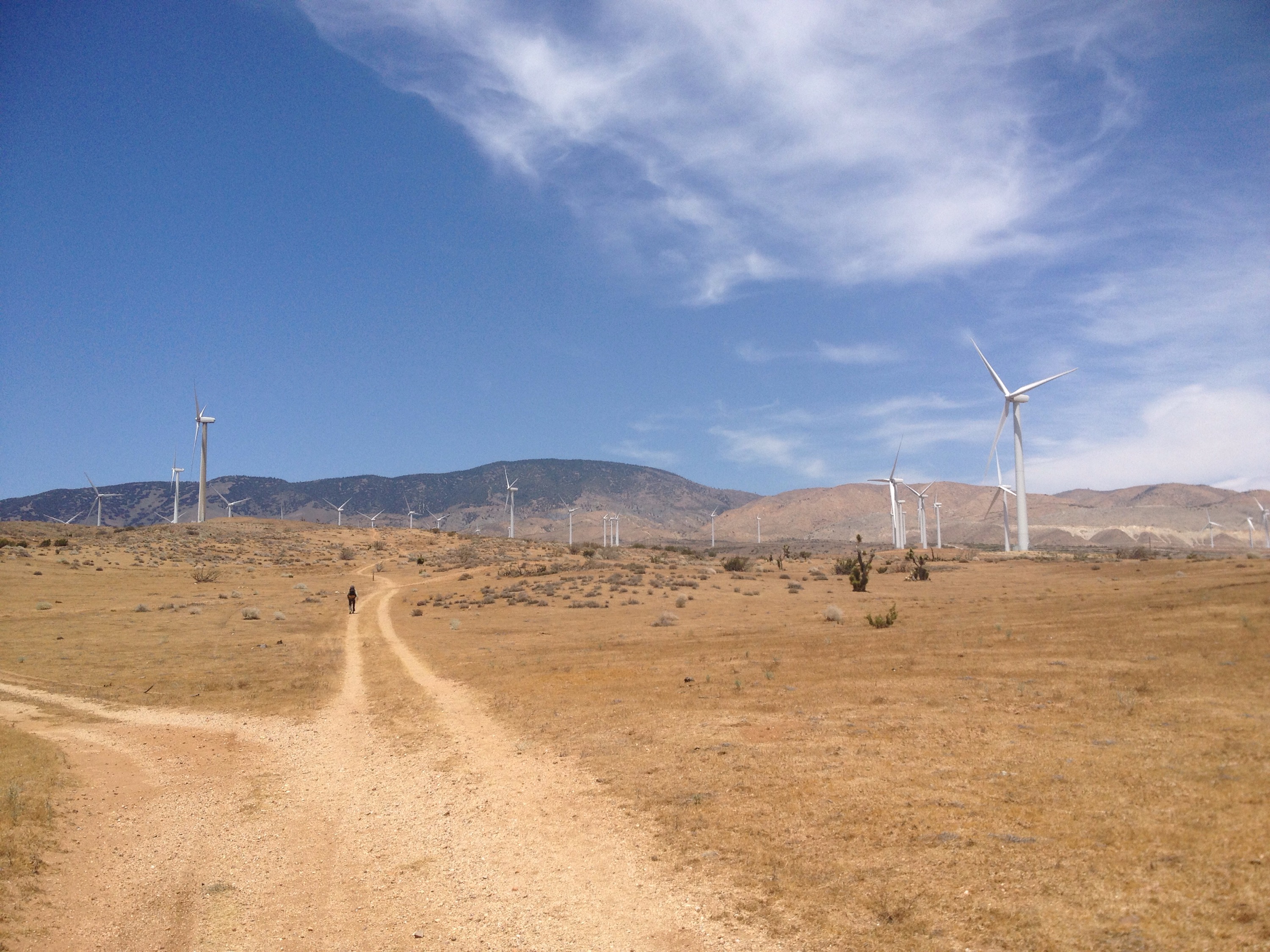
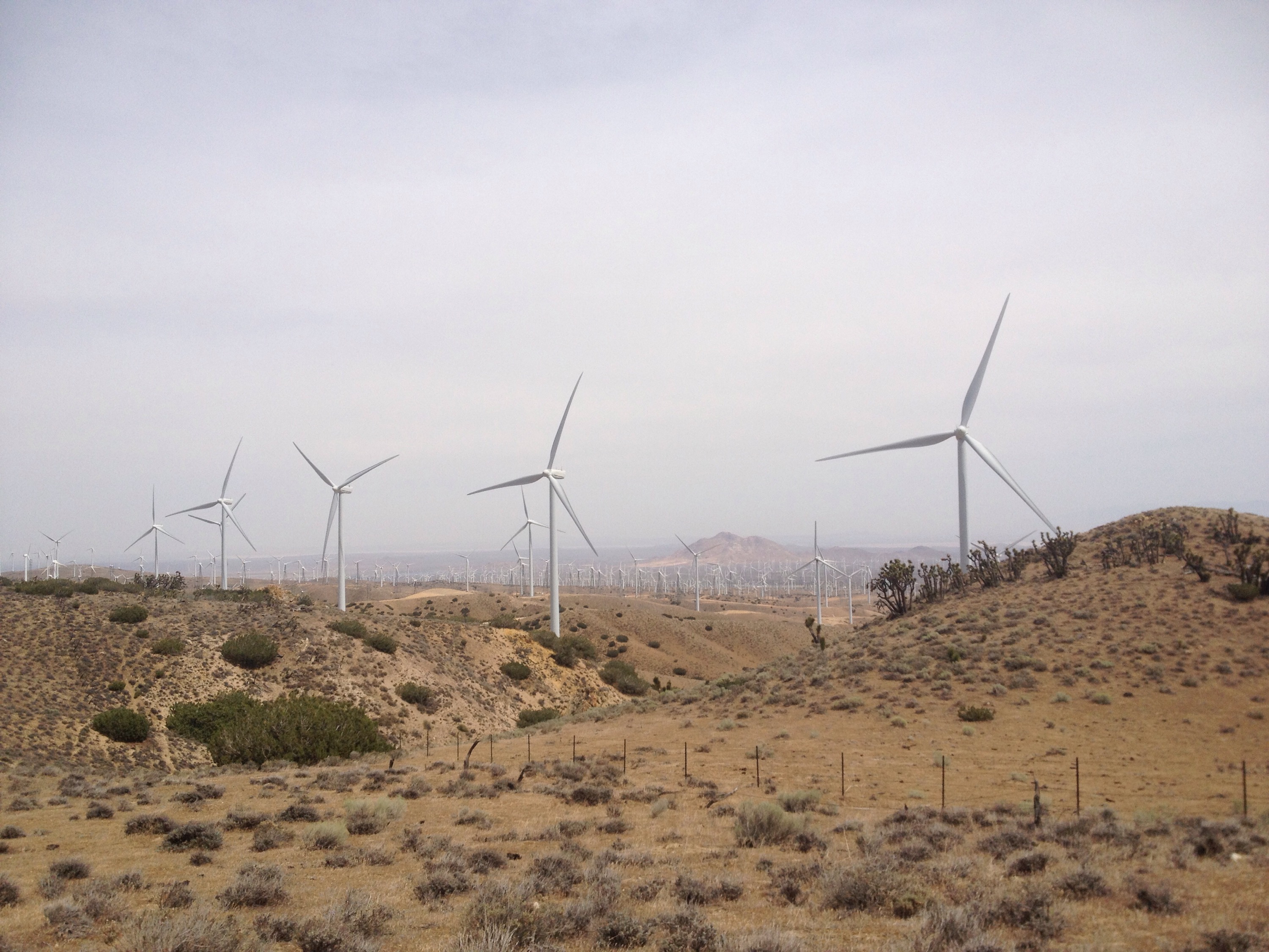
The first nine miles to Tehachapi-Willow Springs road was fairly straight forward. The last three miles were among giant wind turbines that hummed overhead. 


wind turbines for miles and miles.
 
The sky was clear but there was still a bit of a chill to the air. 

At the road we had to spend some time figuring out how to get into town. We had two boxes at the post office and needed to buy a few things. 

Ultimately we called a taxi and split it with two other hikers trying to get into town. 

With chores done, we got food at a Thai restaurant and finally got in touch with a trail angel who gave us a ride back out of town. She warned of rain and maybe snow. 

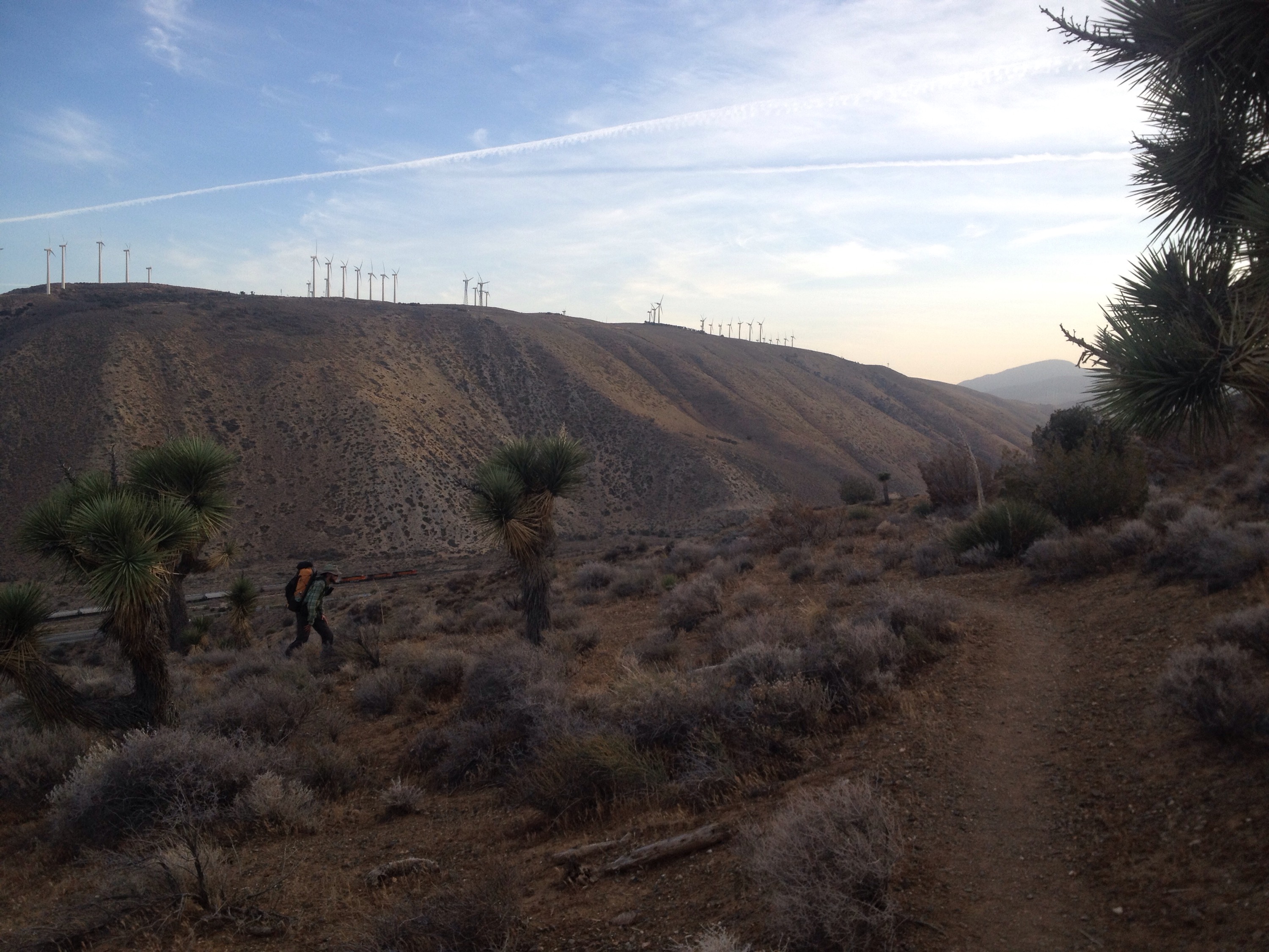
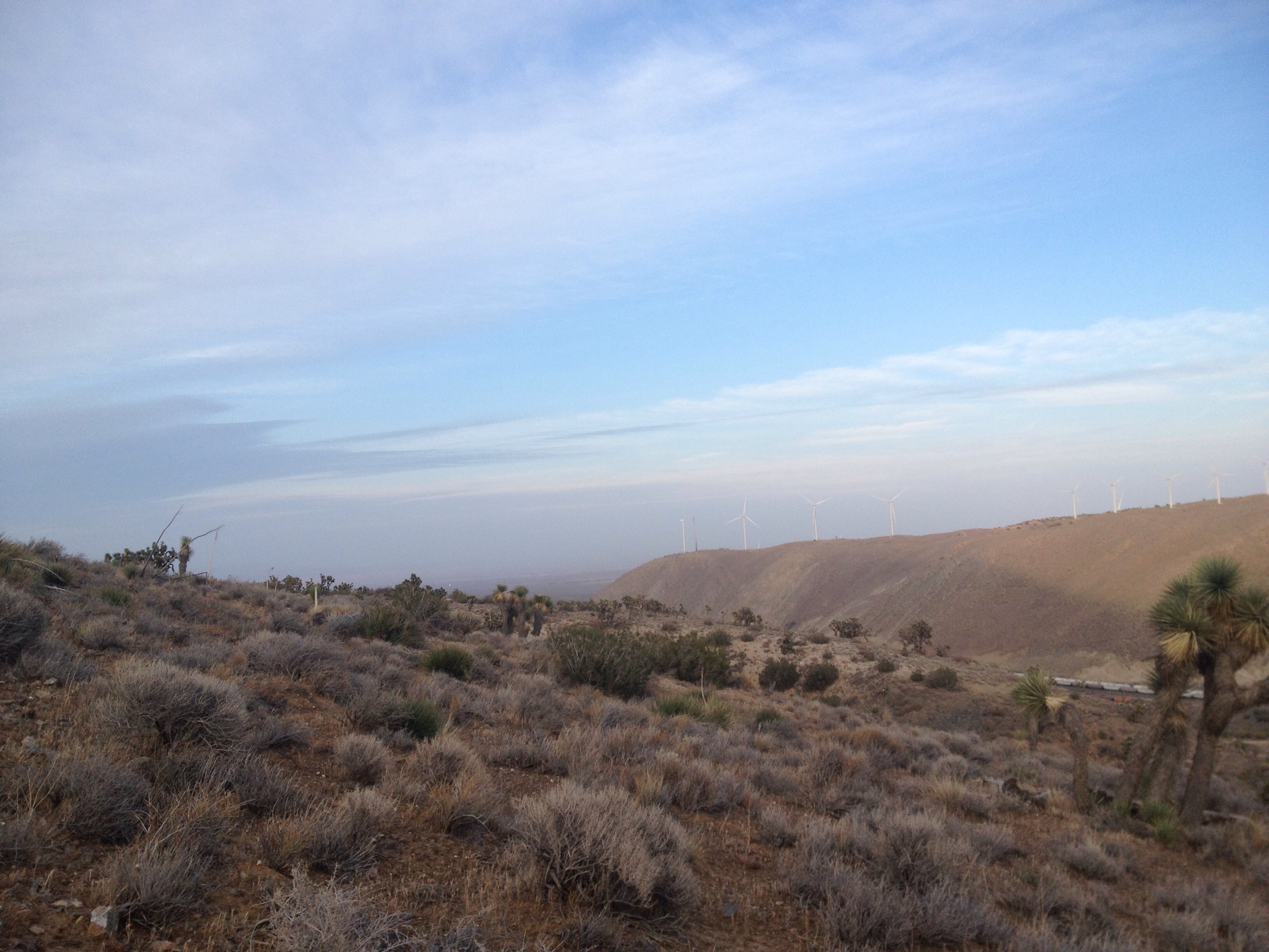
We hiked another nine miles, entirely through wind farms that we heard feed the electrical needs of Las Vegas, then took a break to figure out some logistics for when we have to get off trail in a couple of weeks. We sat along the I-58 corridor and watched clean people in cars whizz past. 


I don’t know how well this photo captures it, but those wind turbines go all the way down into the desert.
 
Then we hiked another few miles and found a slanting tent sight high on the ridge for the night. 

A clam desert dusk.

Aqueduct walking in Mojave Desert

Miles: 517.6 to 549

Mileage: 31.4

Day: 26

The alarm went off at 4 a.m. Worst. sound. ever. I was not ready to get out from behind my eyelids. Fortunately for me, Richard felt the same. 

We reset the alarm for 4:30 a.m. What a difference half an hour can make. We got moving out into the very early light with the desert still cold from the night. 

So cold, in fact, that I spent the first few miles shivering as I hiked. The desert is so weird. The drastic temperature changes; the weather that can move through all four seasons in one 24-hour period; the WIND. 


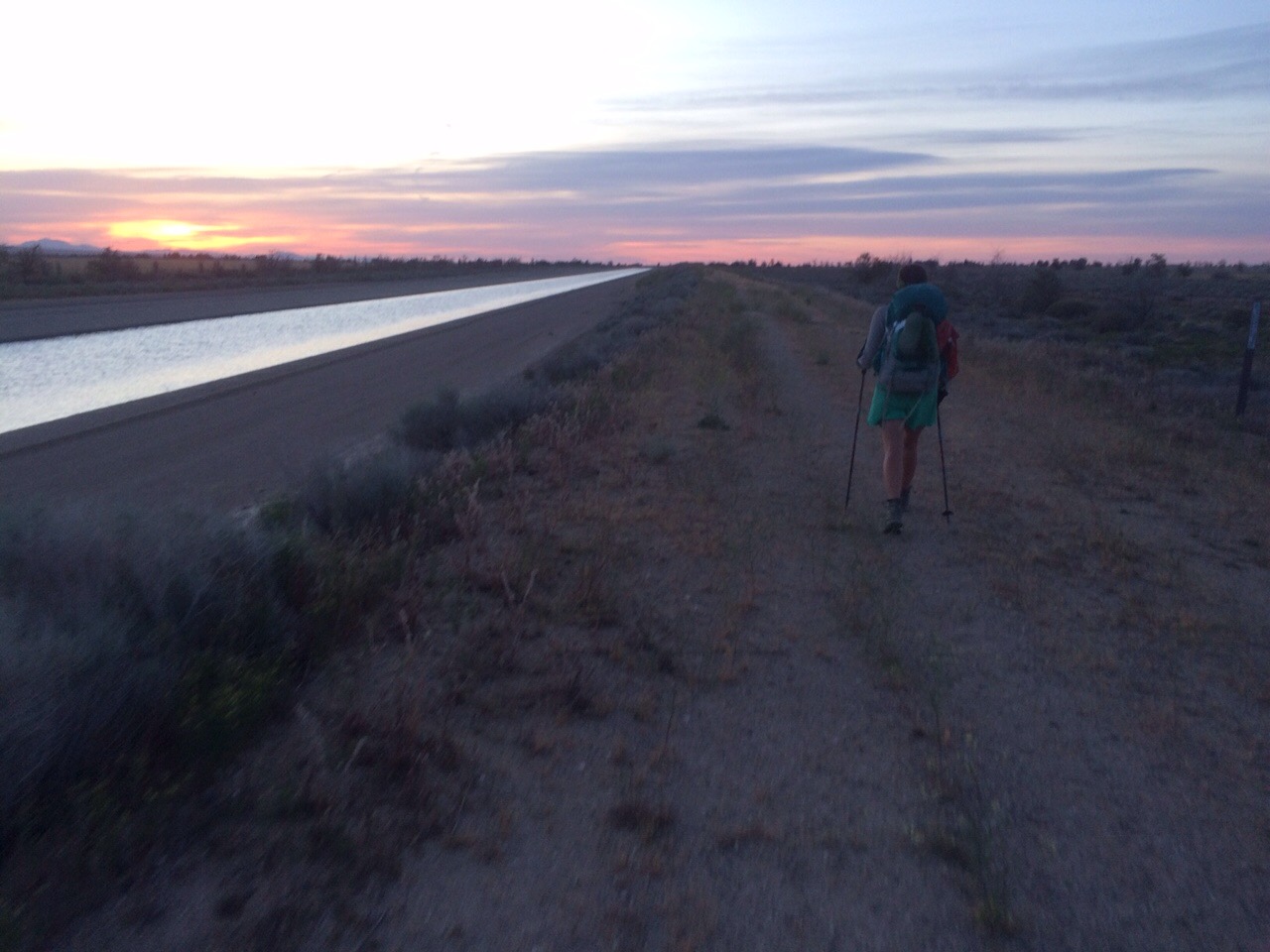
The desert sunrise, the California Aqueduct and me. Photo by Richard.
 
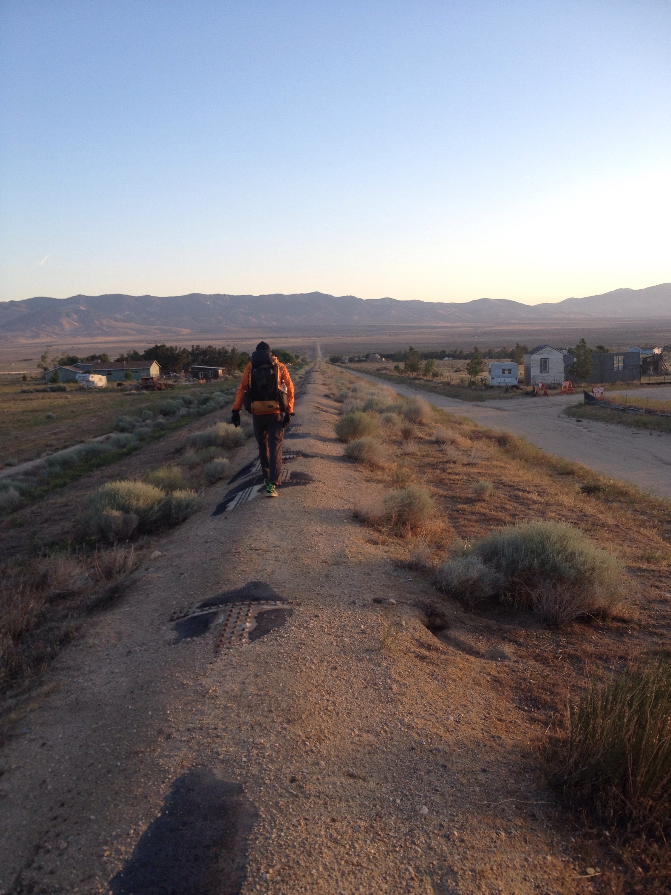
After some short stretches on dirt roads, we turned east on the California aqueduct. The open water canal took us to the intersection of the Los Angeles aqueduct, which we preceded to follow for 20 miles or so. 

The morning was flat and cold until it was suddenly flat and hot. Oh, desert. 


Richard walks on top of the Los Angeles aqueduct in his puffy jacket before sunrise.
 
We reached the first shade of the day at mile 17. A bridge over a dry creek bed. We released our feet from the overly warm confines of our shoes and ate our way through a huge bag of Chees-its.  

Feet, I release you.
 
In another 6.5 miles was the first water source of the day. It was a running creek. No joke. And it was also one of the only creeks I’ve ever encountered where the water ran warm. We filled up, made dinner at 3 p.m. and sat around for 90 minutes or so. It was great. 

I have found that we often have a long climb at the end of the day. Not always, but that seems to be the way we split u the trail these days. And when that happens I also found that eating a bolts of calories midday is so helpful for getting up those miles. On the Appalachian Trail I never made dinner for lunch. I saved my hot meal for the end of the day, no exceptions. But out here, it seems to correspond with a natural break in hiking to make dinner during the heat-of-the-day break. Because after a long break it’s not uncommon to hike until dark or close to it. And by that point, I just want to get in my sleeping bag.

And so we did this day. We repacked and started the last seven miles around 4 p.m. And we finished with a big climb to our campsite. 

A shorter day into Hikertown

Miles: 502.3 to 517.6

Mileage: 15.3

Day: 25

Because our bush whack the day before had eaten into our hiking time, we covered about nine miles fewer than we thought we might. So our nearo into Hikertown Hostel went from six to 15 miles.

Fortunately, they were pretty straight forward. We made our way slowly downhill for the morning. We refilled water at a spring six miles in and saw our first PCT bear. 

It was a black bear that I noticed across the stream and about 20 feet uphill from where I was filtering my water. Richard was repacking his pack, so he only got a glance at it as I thoroughly scared it off with my smell, probably. I was excited to see it and excited to see it go. Bear sightings are great, but I generally prefer more than 20 feet of space between the mega fauna and me. 

After getting water, the real downhill began. And, because it’s the PCT, it was quickly followed by some serious, if brief, uphills. Can’t make it simple, huh PCT?


The final straight stretch to Hikertown.
 
We got to Hikertown just after noon, as the heat really set in. Hikertown sits right at the spot where the PCT starts off across the northwestern corner of the Mojave Desert. It is a unique place where many Old West building facades actually house private rooms for rent. There is laundry, a kitchen, shower and free rides to the local store. If you don’t mind things a little grubby, this can be a great place to spend a hot desert afternoon. 

Richard and I got pizza, burgers and ice cream. And a salad. 

We picked up our resupply box and some new socks. 

We went to bed early so we could be up before the sun to start our 20-mile walk across the Mojave following the Los Angeles aqueduct. 

Fire closure bushwhack

Miles: 476.7 to 502.3

Mileage: PCT: 14.5; roadwalking: 4; hitch hiking: 6; bushwhack: 1; PCT closed due to fire: 12

Day: 24

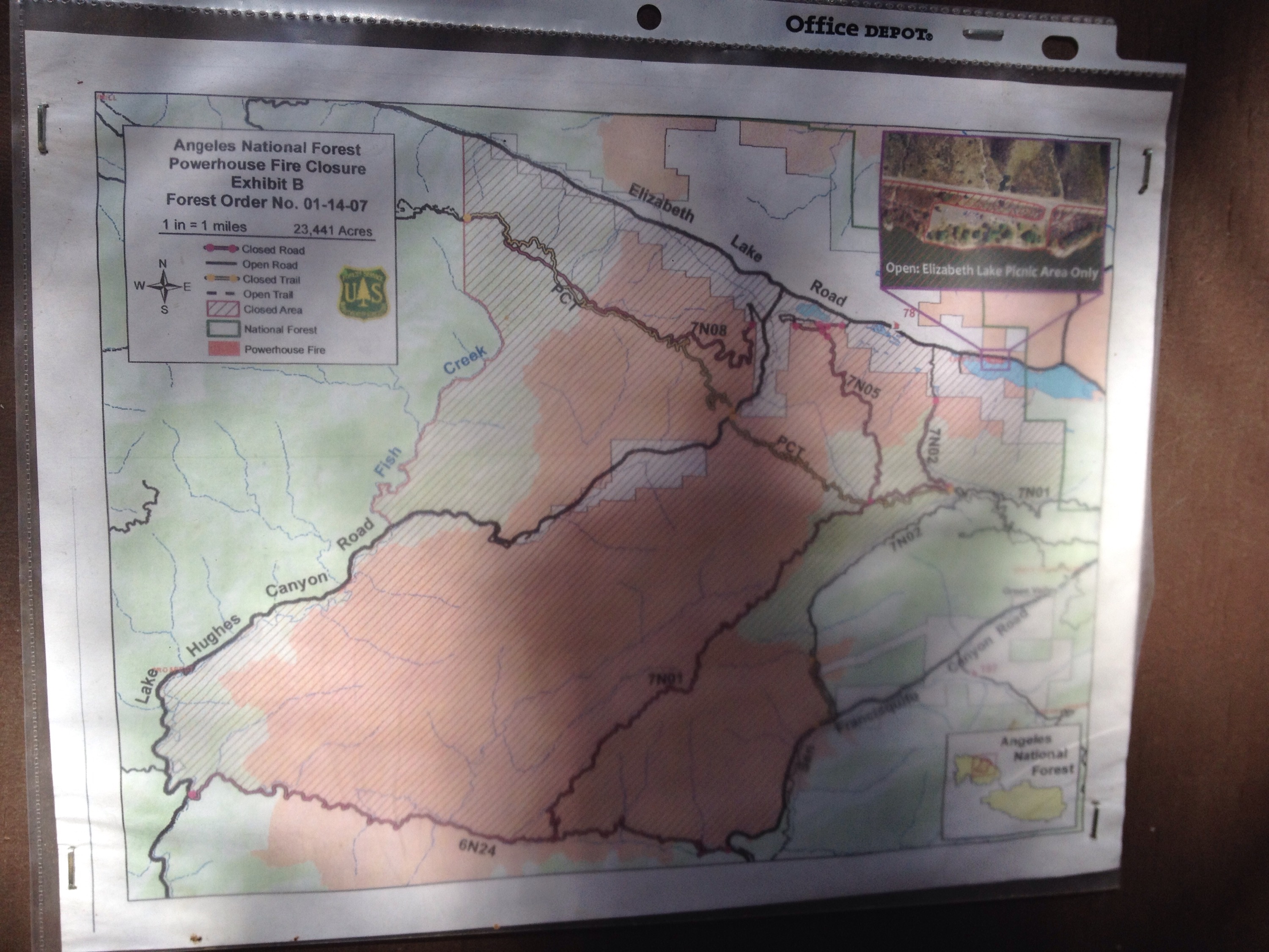
Today we had to find our way around the last current fire closure (if there’s another one in the future, it will be for an active fire; this was the last closure from an old fire). It was the Powerhouse fire from 2013. 

The PCTA has two published detours to get around the closure. Both are entirely roadwalking and cut off access to over 30 miles of trail even though only 12 miles are officially closed. 

Richard didn’t like that idea. His goal is to hike all the miles of the PCT that are open and legal in 2015. 


Here’s a not great photo of the area we hiked around.
 
That means, we had to find our own way around the closure. The first part was easy. At San Frisquito Road, hike into the woods for two legal miles to an open dirt road and take that road back to San Frisquito. Beyond the dirt road for 12 miles north, the PCT is closed. 

Once back on San Frisquito, we were on a portion of the published road walk for about 10 miles. Fortunately, around mile 4 of walking we got back to back hitches that took us the rest of the way we wanted to go on the road. 

Then came the complicated part. 

We saw on the topographical map a trail going up a ridge to the east of the PCT. The trail was about a mile long and would get us back to the PCT within a mile of the closed section. But, the trail we saw on the map was a trail probably 20 years ago at the most recent. To take that route would require some serious bush whacking. 

As it was Richard’s birthday, I let him decide. Up the scrub and scrub covered ridge we went. 

While the entire mile was not overgrown with scratchy, thorny bushes, enough of it was to really slow us down. We spent 2.5 hours clawing our way up to the trail. By the end we were bloodied and bruised and our packs were full of new holes and so many sticks, but we’d made it. 


the top. I will try to get more photos up later.
 
And we agreed not to make a similar decision again. 

Our longest trail day thus far

Miles: 448.1 to 476.1

Mileage: 28

Day: 23

The cave was definitely a cool place to sleep, but I woke up suddenly when I noticed I’d been pooped on by a bird in the middle of the night. Not cool, bird. 

It was a cool morning as we hiked 6 miles to Agua Dulce, California, one of three towns the PCT moves right through. 

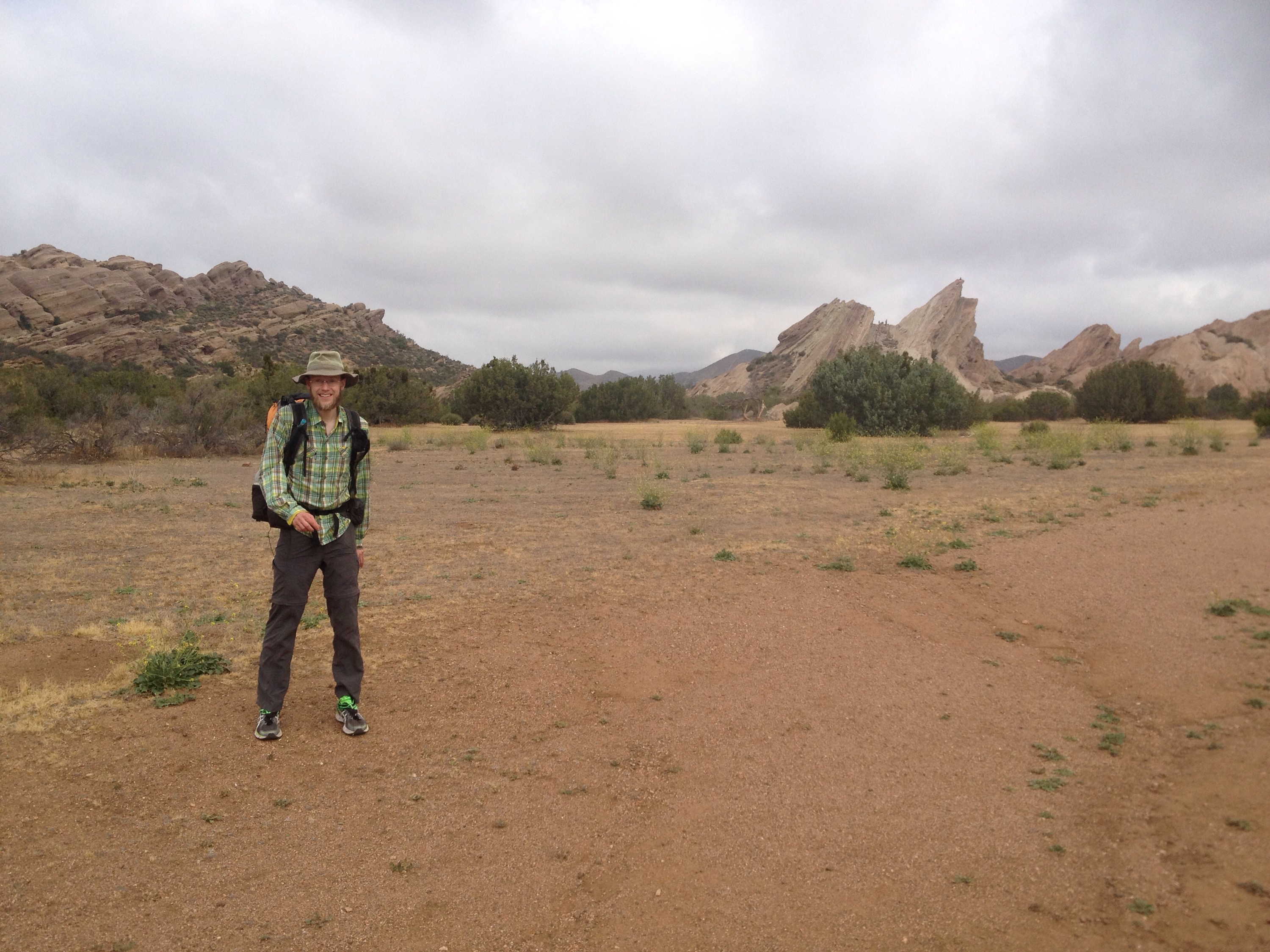
Right before town, we hiked through Vasquez Rocks County Park, the scene of some movies like Planet of the Apes and Blazing Saddles. Very cool rock formations. 

Vasquez Rocks County Park.

We bought food at the grocery store and cinnamon buns and egg sandwiches at the cafe. 

Then we started the long, hot climb out of town. Overall, it went well, but there were times when it felt like it wouldn’t end. I feel like I’m using that description a lot for this trail. Huh. 

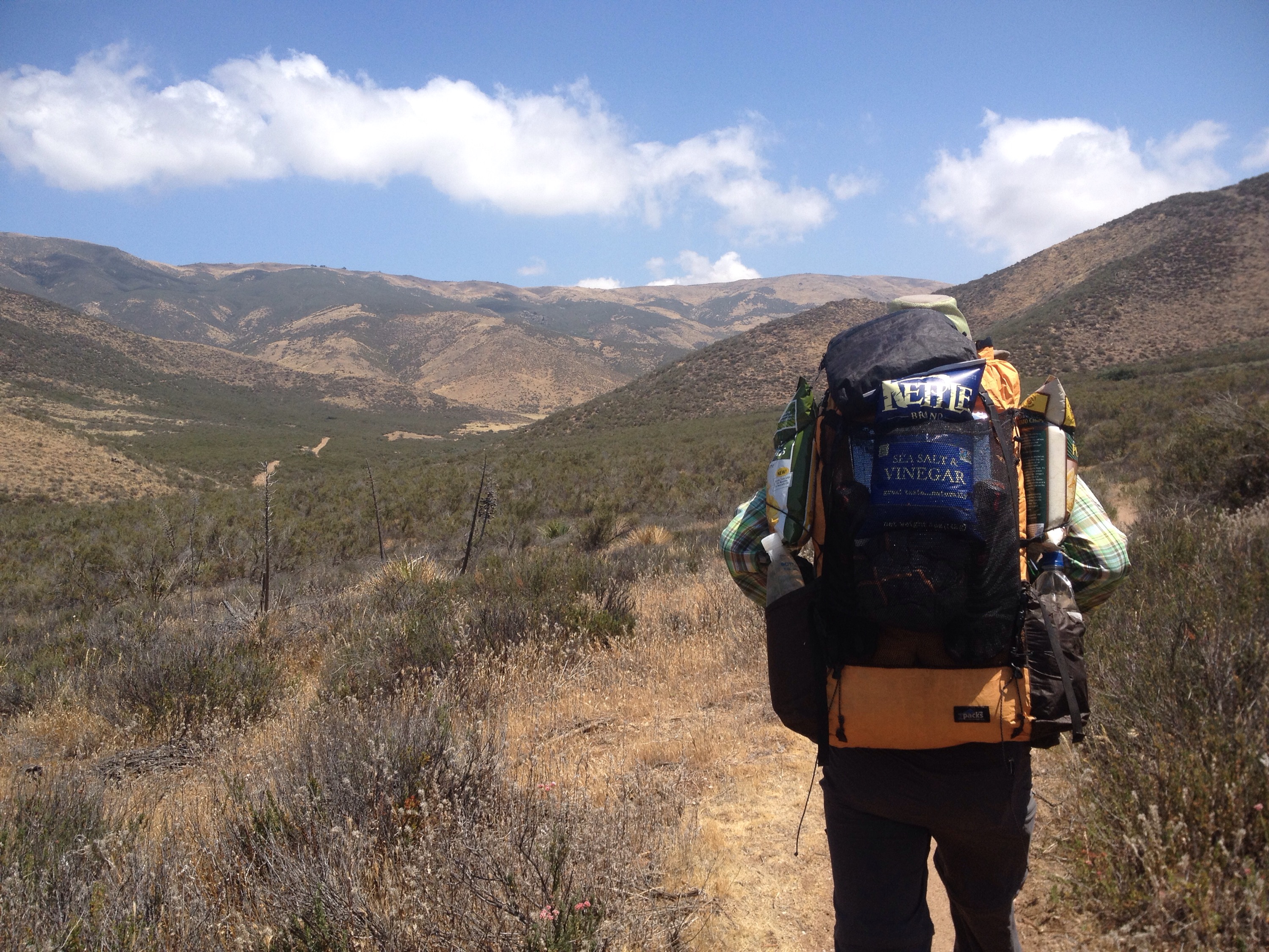
On the bright side, Richard left town with three delicious bags of potato chips strapped to his pack. 


chips. chips. chips.

We took a brief break just before the second big climb of the day by eating the salt and vinegar chips. Nice and salty, could have used more vinegar. 

The second climb was a trial on my feet. I’ve found we get along best when I give them a break sometime between 3 and 5 p.m. for a solid hour. That’s not always logistically possible, however. 

Today, the break came at 5 p.m.; past their expiration date. But the break helped, anyway. The last mile before the break was painful. 

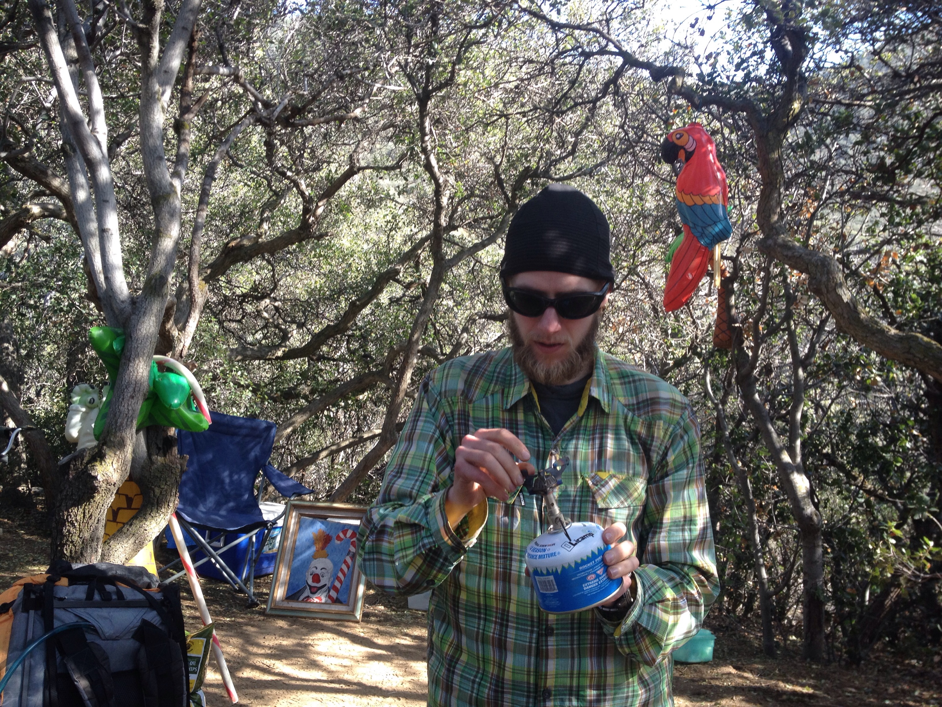
We ate dinner at the Anderson’s Oasis. The Anderson’s host hikers at their home, but also stock a shaded noll on the trail with water, soda and chairs!


Cooking dinner at the Oasis.

We pushed on with refreshed feet and full bellies for a few more miles then found a spot to spread out the tent.