Happy Father’s Day!!

Happy Father’s Day to Ray and Bob!
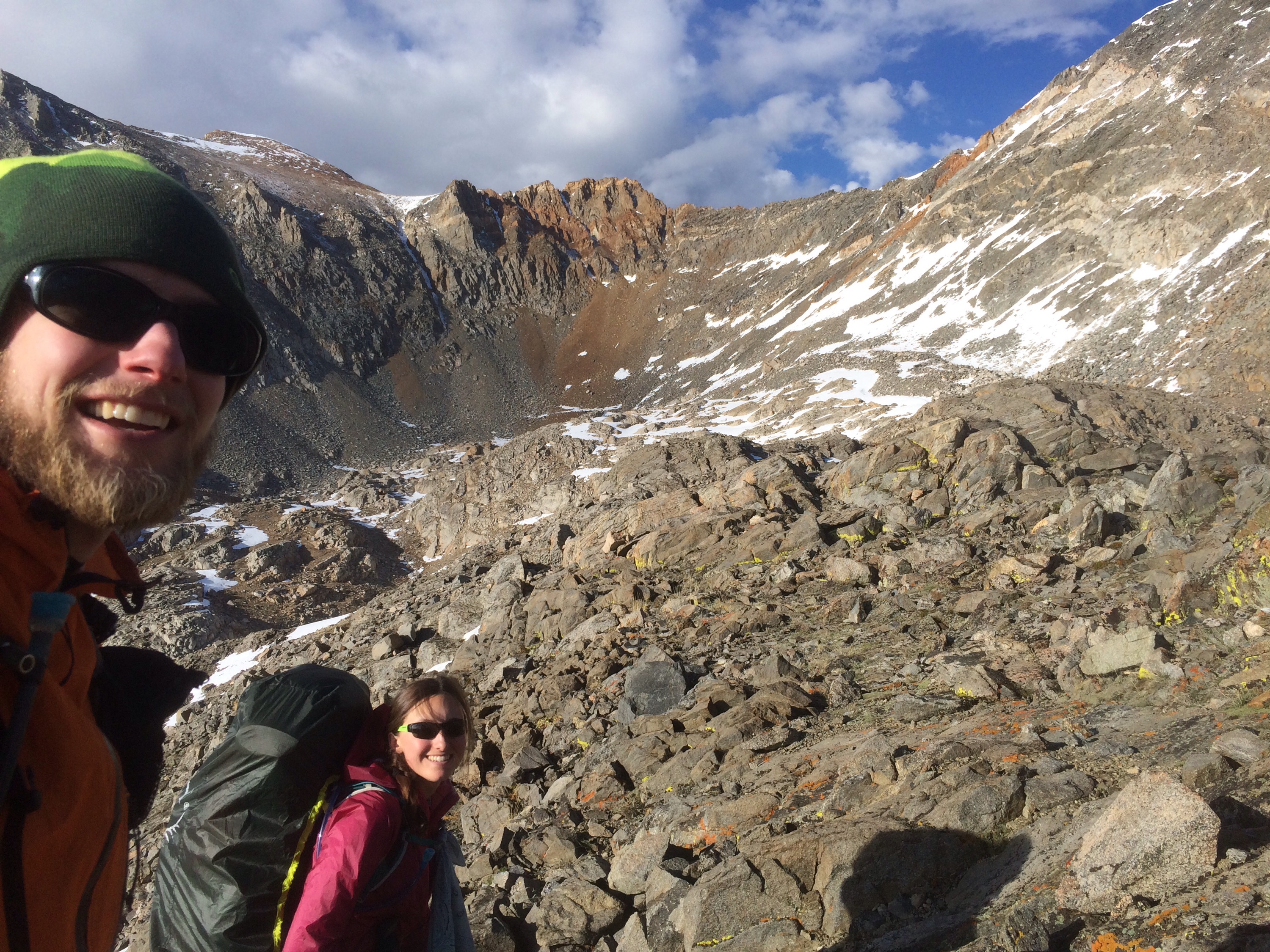
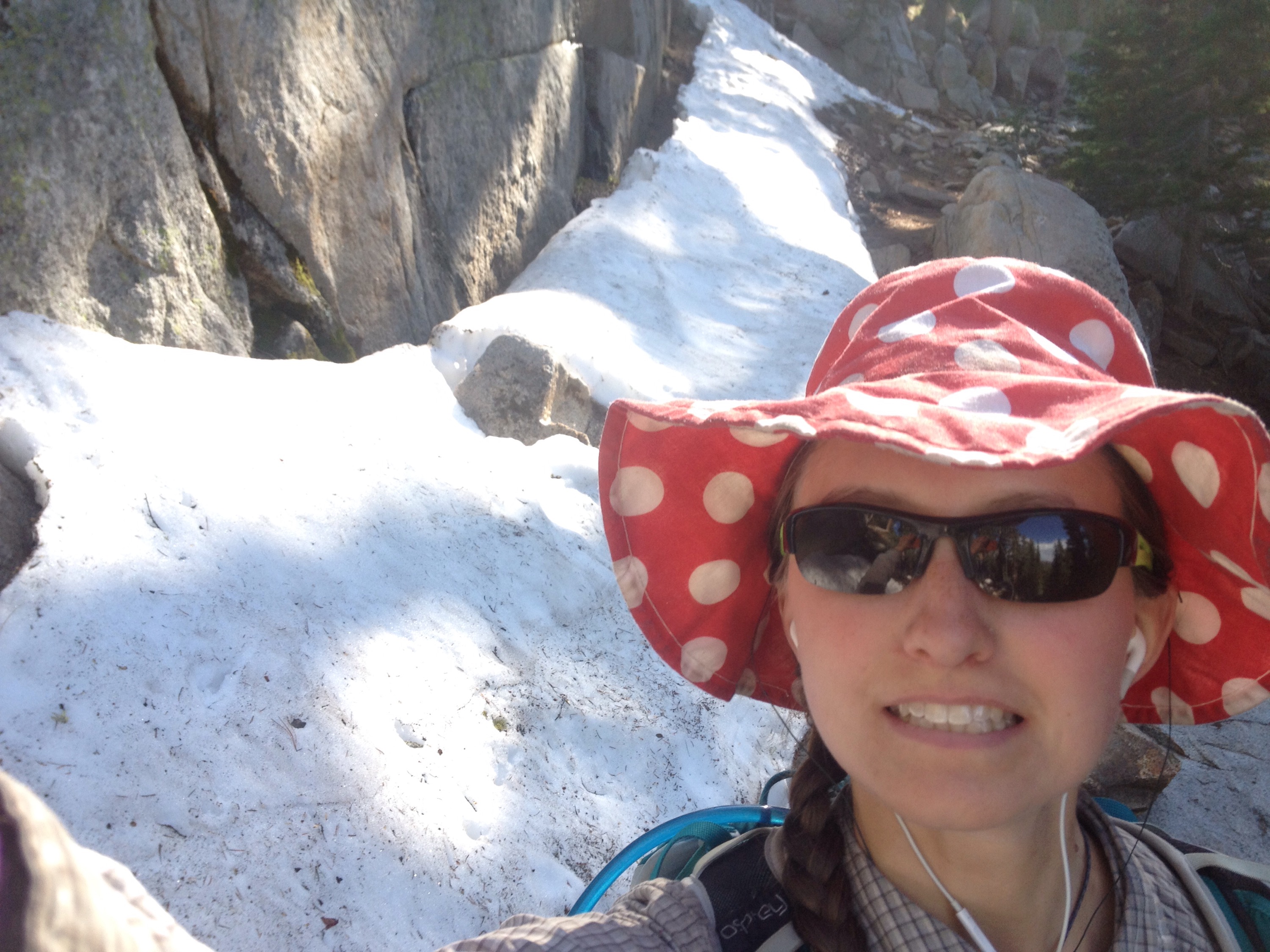
Stephanie: When I was 13, my family took a summer vacation to Newfoundland Province in Canada. We went on a day hike past a ridge line with pockets of snow near the top. My sister, Renee, said she wanted to try to hike to the snow. But the trail didn’t go up, it went around, no where near the snow. I was apprehensive about leaving the trail. What if someone yelled at us? But my dad encouraged us to try. We started up the ridge toward the snow and tried to get as high as possible. Dad and mom came with us, following behind. (Keep in mind that we hiked up a scree field, not a pristine meadow where our footprints would be seen for years. After we left that day, only the rocks we stepped had any knowledge we were there). And with that quiet push to follow our whim, my dad opened my eyes to the value of experiencing nature without filters and interpretation. When you follow a trail, you are taking the path chosen for you. There are usually reasons for that choice — to see something or avoid something. But nature cannot be controlled and going off the trail to find the raw aspects has value. That experience my dad allowed me to have also taught me that to best understand a rule, sometimes you have to break it. Thanks, dad!

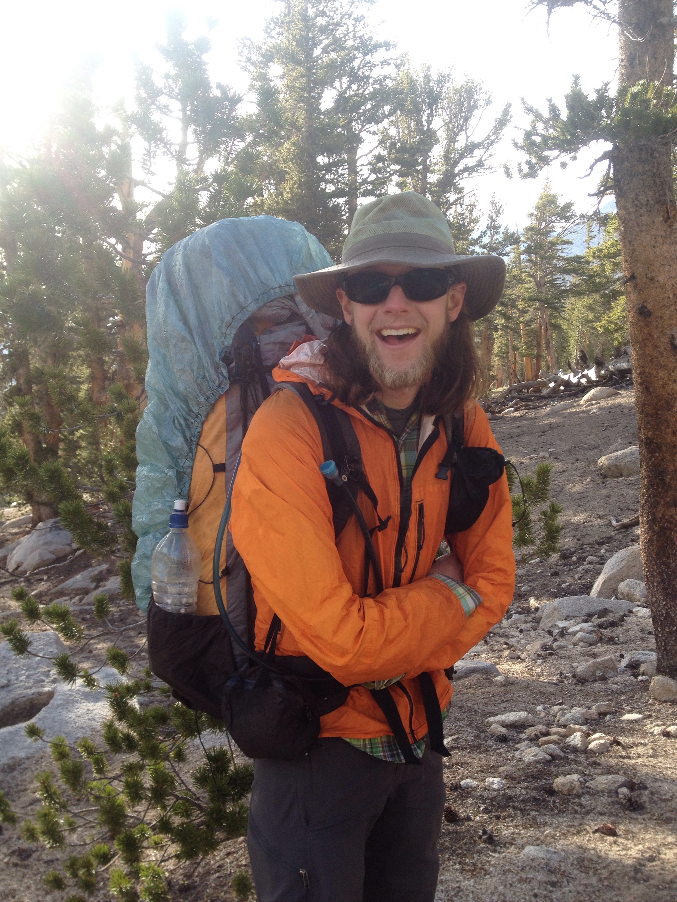
Richard (as told to Stephanie): Every summer, my family would drive up to my uncle’s cabin on a lake in Michgan. It was there, off the dock, that my dad taught us (sister Annette and I) to fish. He started with the reel and line; how to tie the hooks; find worms; clean the fish. The water was so clear we could watch the fish deciding whether or not to bite. When we cleaned the fish, the scales would fly and we would get covered in shiny bits. Dad would let us use the knife and do all the cutting. When we cast to the right, the line would get caught in submerged logs. For hours each trip we caught sunfish and bluegill. 

We love you, dads!
  

A weather win

Miles: 831.2 to 852.8

Mileage: 21.6

Day: 52

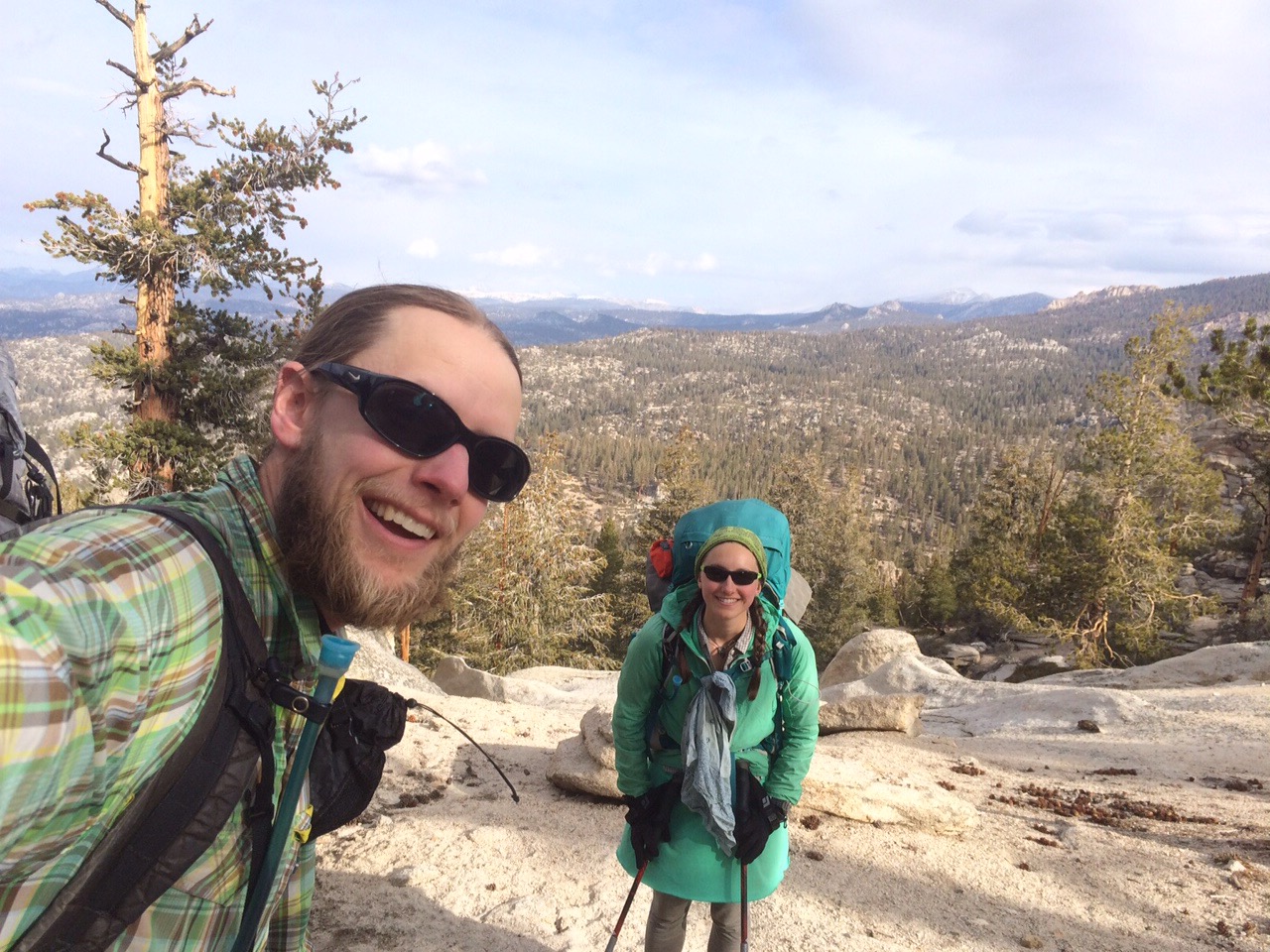
The weather was beautiful ALL DAY! I can’t believe it!

It didn’t rain or snow ONCE! 

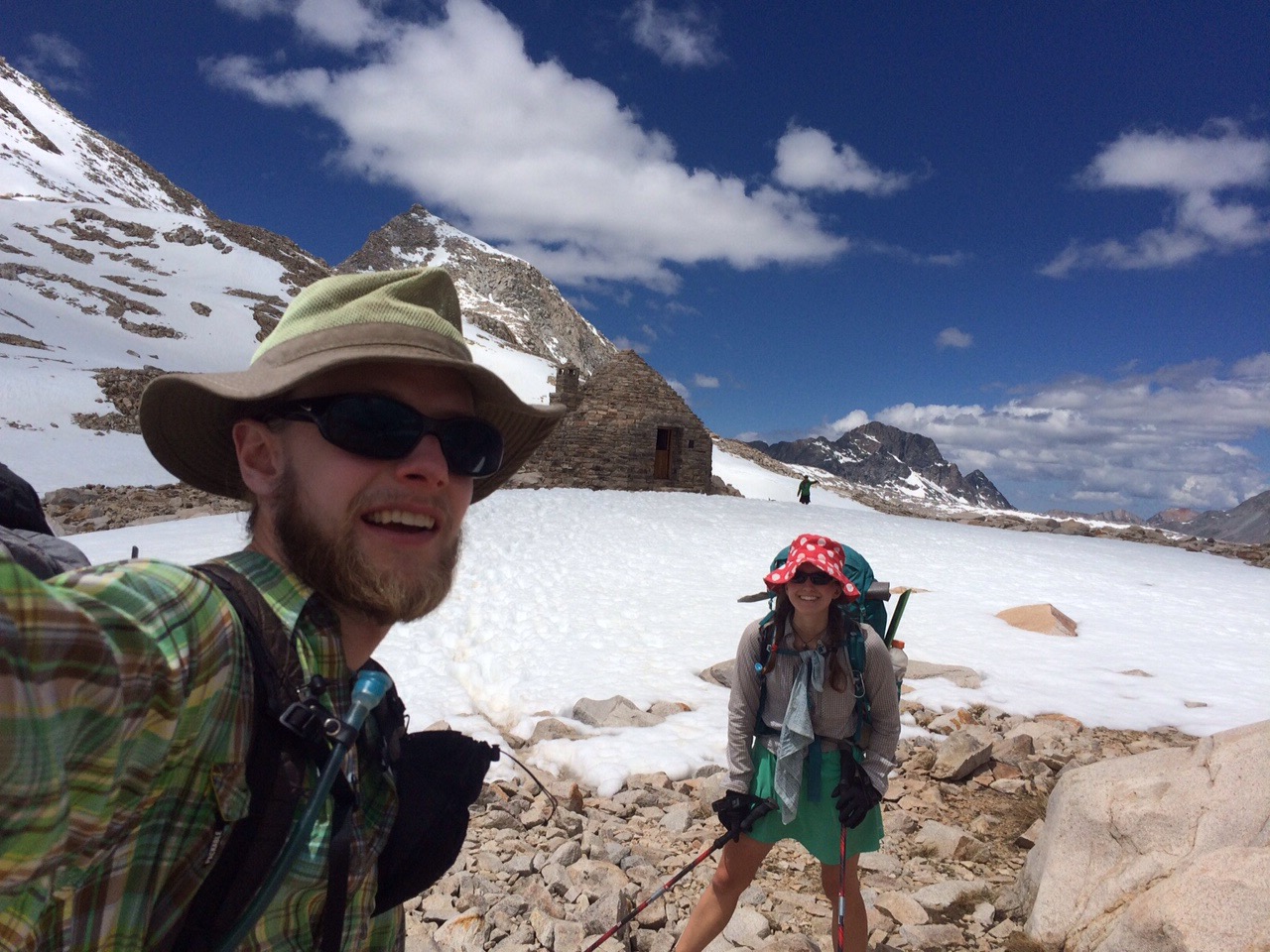
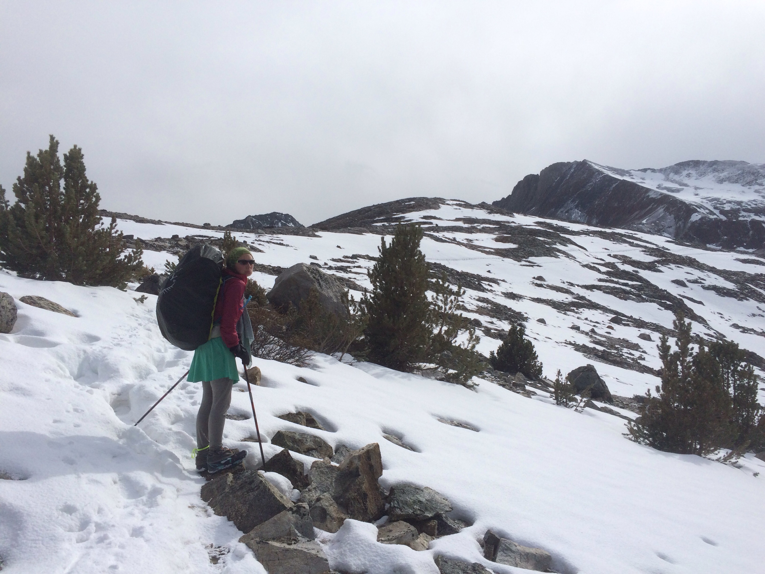
Our climb up to Muir Pass was pretty normal until we kept losing the trail under huge patches of snow about two miles before the top. It took us nearly an hour to cover the last 300 vertical feet. But all of sudden we saw the Muir Shelter that sits right at the pass. And it was so close. Tah-dah! The top!


Muir Shelter! We made it!
 
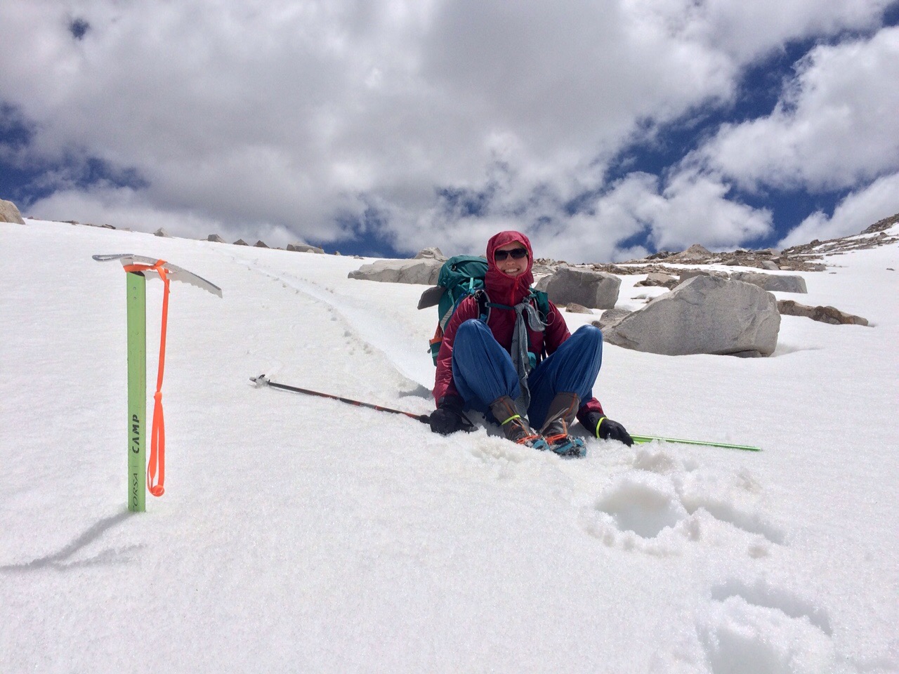
We ate a bit, explored the shelter a bit, then donned our rain pants, walking crampons and ice axes for some glissading down the pass.

In a glissade, you slide downhill on your butt or feet. We opted for butt sliding. It was fun, but things aren’t that steep on the north side of Muir, so we didn’t get very far.


butt sliding!
 
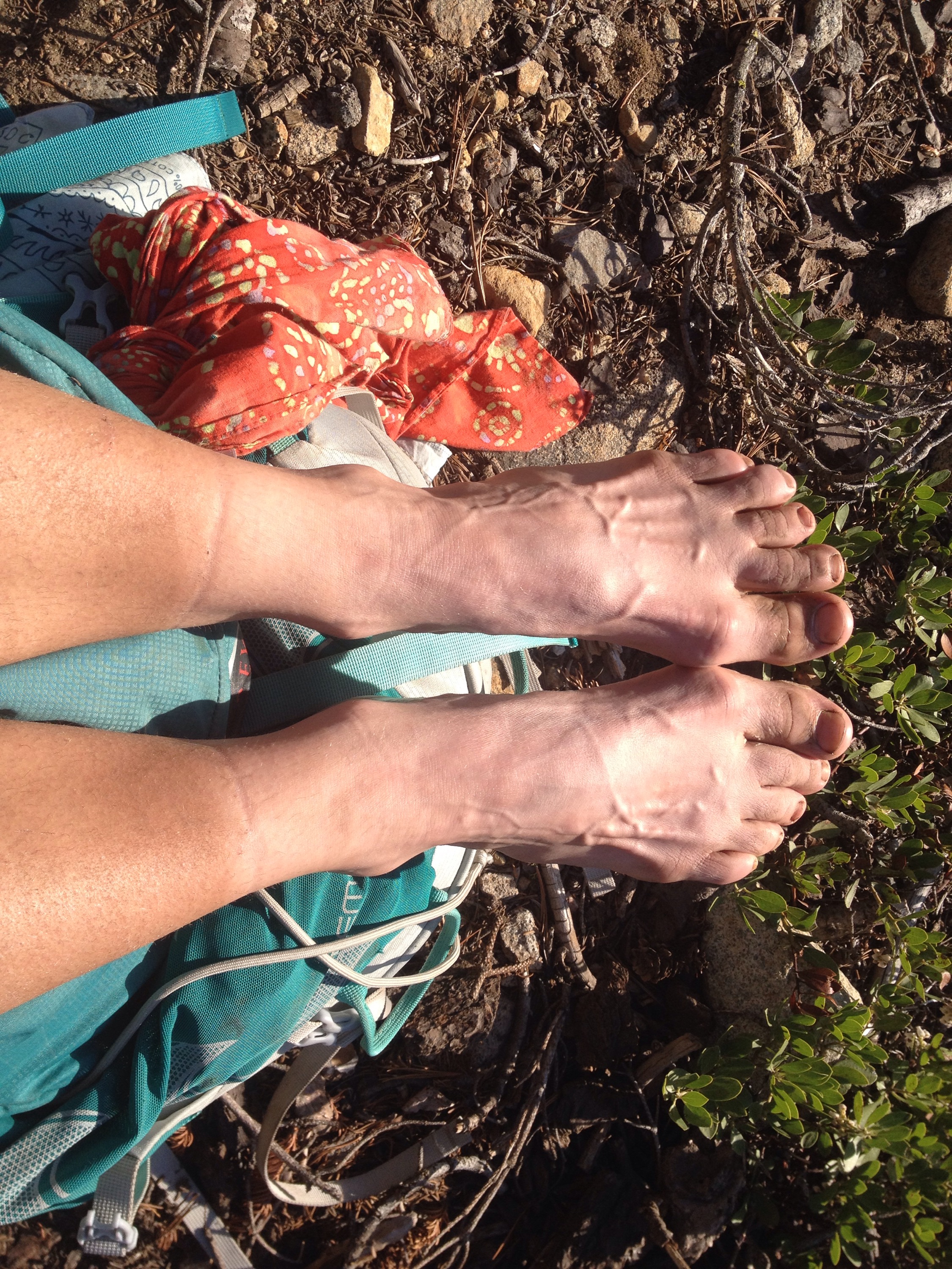
My feet were wet and sore by the end. Which meant, by the end of the day, they were really sore. I don’t enjoy wet feet.

The hike down from Muir Pass was gorgeous. The views in the middle of the Sierras are so majestic. 

Huge, blue alpine lakes. Tall, steep cliff lines overhead. Towering sequoia trees. Deer and snowshoe hares and ravens.

And everything was made all the better because it was sunny and warm in Sierras.

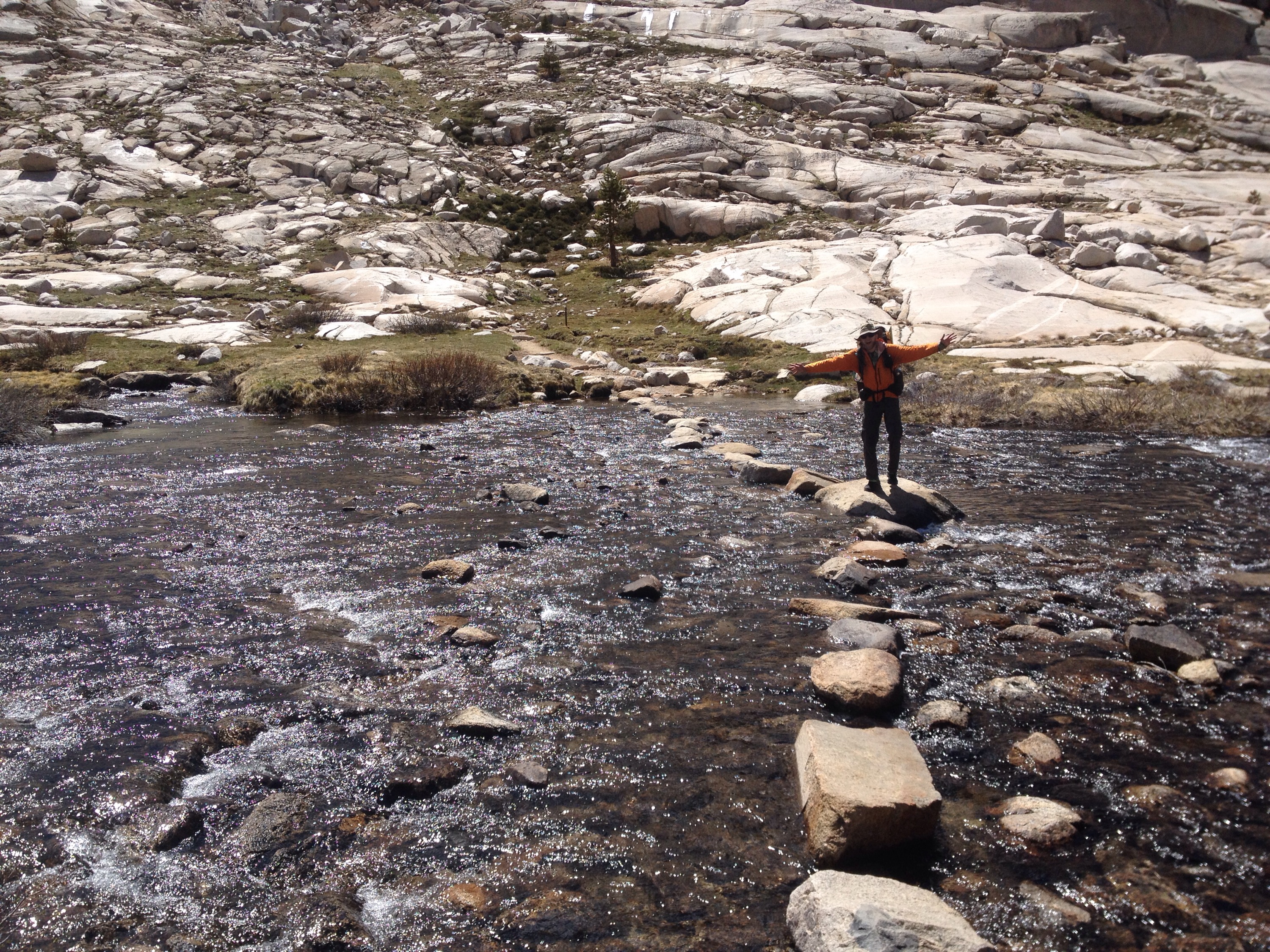
We covered our longest river crossing yet and our first ford a river.


Hop, hop, hop.
 
At camp we made a fire to keep the mosquitoes away and then sank into our sleeping bags. All this beauty is exhausting.

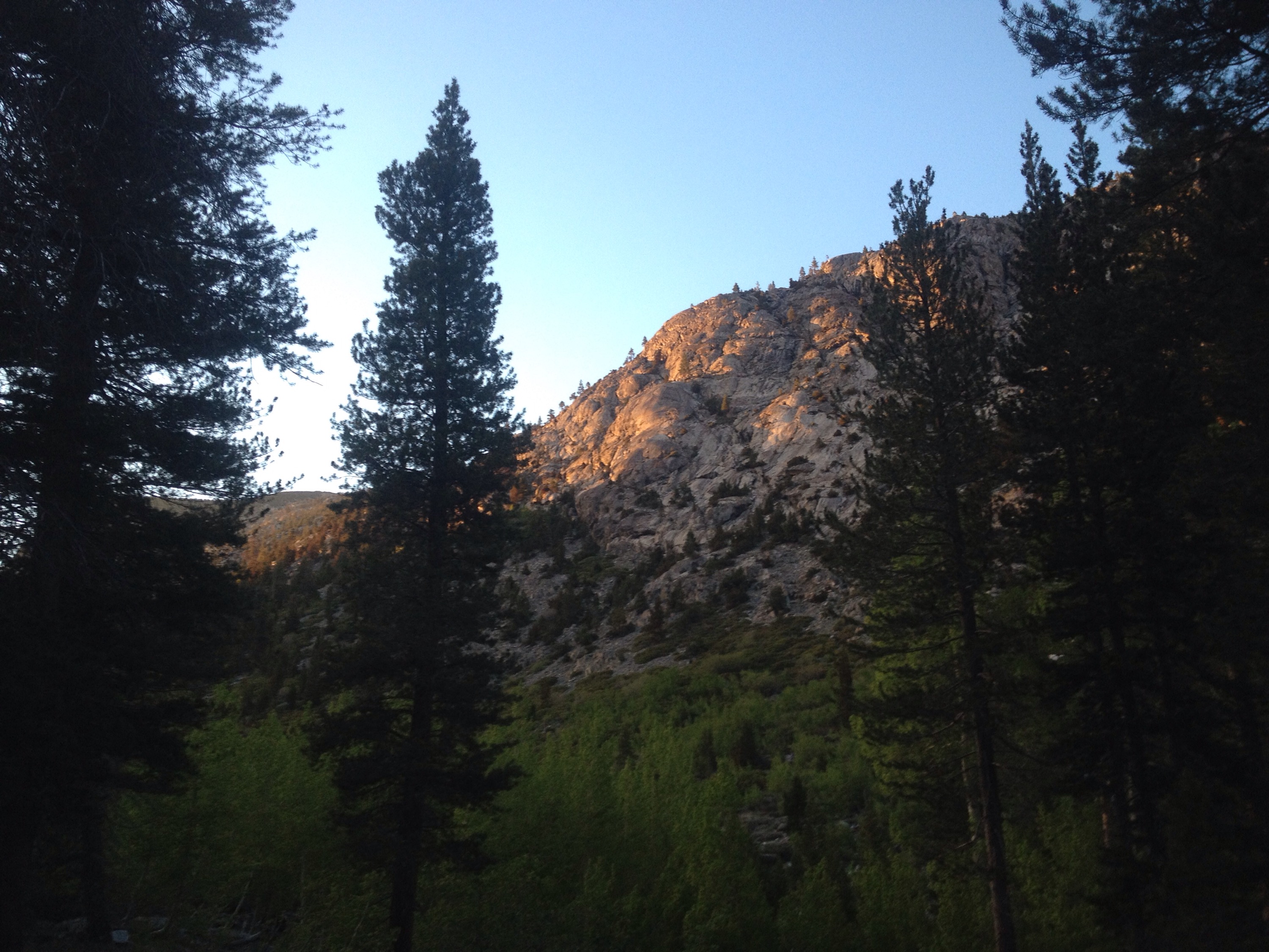
Evening sun on the valley walls.

The Sierras eat my energy

Miles: 809.9 to 831.2

Mileage: 21.3

Day: 51

It snowed overnight. While it’s annoying to think about getting up and moving in the snow, I was so glad to have a tent to hunker down in. Some hikers carry tarps or camp without a shelter. To me, the extra weight is so worth having a portable refuge. 

Plus, in a tent, the snow made things warmer by blocking the wind and keeping in the CO2 we were exhaling.

We got a late start. Duh. The snow was beautiful and the sun was powerful. I got hot just packing my pack.


See how much snow we would have woken up to if we had hiked lower into the valley?
 
The first two miles were downhill. We started climbing through forest, then it opened up to meadow.

The approach to Mather Pass was very well built and had very little snow. But I moved so slowly. Even with a lighter pack, I couldn’t get up the hills with any momentum. Richard suggested my iron might be low, which would make producing red blood cells a slower process for my body. I did just finish my period and the vitamins I brought were buried in my bear canister. We hadn’t been eating them for days.

The downhill was nicer for me. Although some of it was steep, but the snow was solid. 


I know it’s not a great photo, but this is looking down on the golden staircase — a series of 20+ switchbacks north of Mather Pass.
 
We went downhill all afternoon but by 6 p.m. the uphill started again. We walked another four miles before we found a nice spot by a quiet section of a creek.

We made dinner and watched the deer unabashedly walk through our campsite and investigate all the smells we were producing.

Double pass day

Miles: 790.2 to 809.9

Mileage: 19.7

Day: 50!

Will we ever get away from the snow? The morning started off beautifully, if a little chilly.

We made it over Glen Pass and the snow on the north side wasn’t too bad. We used our microspikes and ice axes, although the ice axes were probably overkill. That said, better safe than dead, right? 


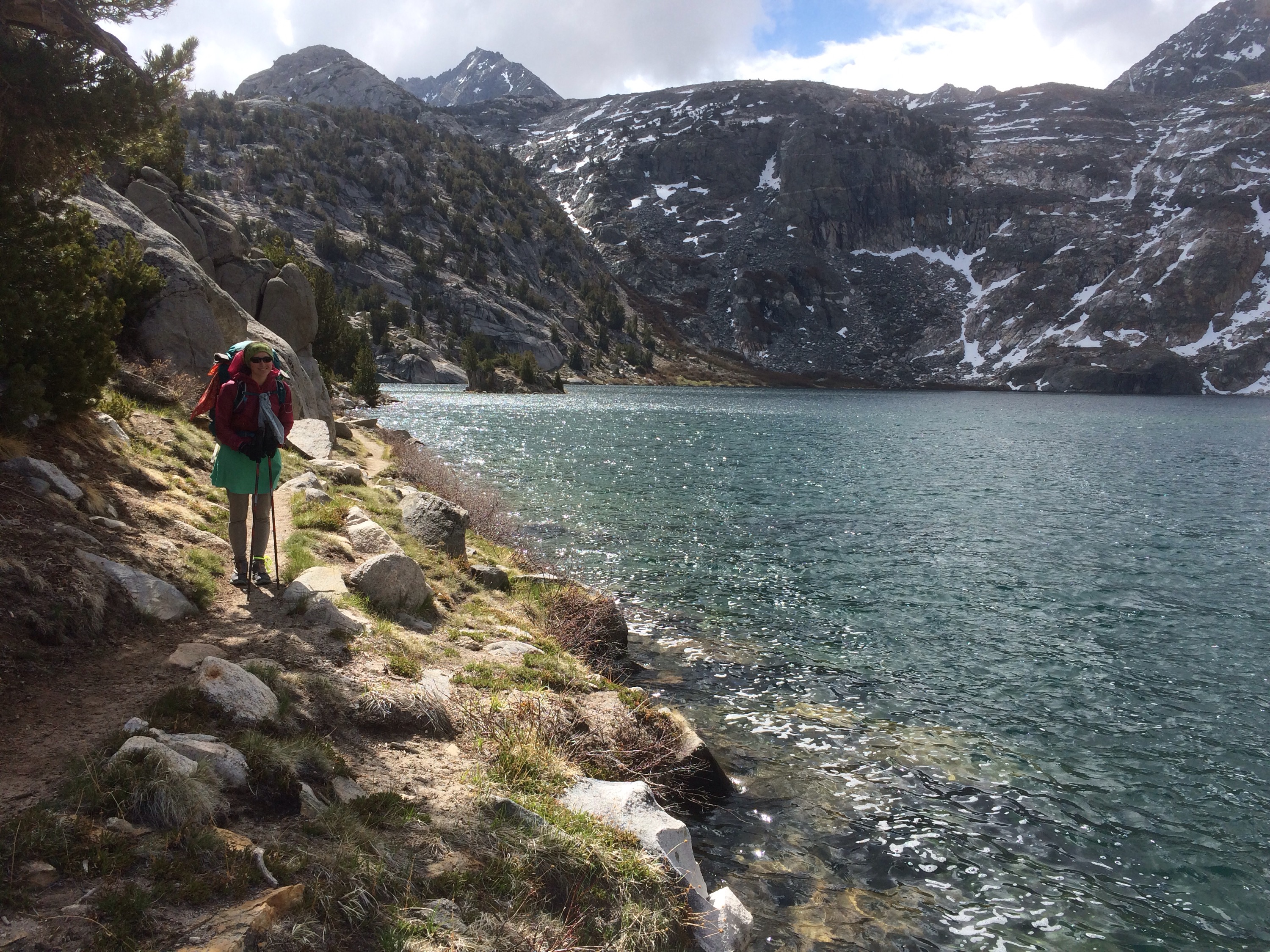
Check out this lake! The alpine lakes just north of Glen Pass were supurb! If only it had been warm enough to go swimming.
 
It stayed chilly all day. Not a big deal. We can handle chilly.

Around 2 p.m. it started snowing. And thundering. That made us nervous because we were headed back up and over Pinchot Pass. Just as we hit treeline, the storm passed and blue skies returned. Ahh, sunlight.


Postholing plus wet feet equals frowny face. Heading up to Pinchot Pass.
 
We got to our camping spot, made dinner in the snow and climbed into our sleeping bags.

Then it started snowing again. Sigh.

On a very happy note, today we passed Richard’s second cousin, Austen, and his friend, who are hiking the John Muir Trail south. It was nice to chat with them. They said the weather the first five days of their hike was lovely. Figures. The snow returns just as we do.

Today was the only day we’ll be attempting two passes in the high Sierras. I’m glad because that was some serious hiking for less than 20 miles. 

But, I must say, it’s beautiful out here. And it’s worth stopping for a moment, catching your breath, and just taking in the awesomeness of this whole experience and this amazing place. 

All sun and smiles!

Back in the saddle

Miles: 789.4 to 790.2

Mileage: 0.8, plus 7.5 up and over Kearsarge Pass to get back to the PCT

Day: 49

We’re finally back on the trail! After 6 zeroes and 3 slack pack days we are fully-loaded and heading north. 

We took a slow morning in town to make sure all of our real world chores were as complete as possible. 

We caught the 1:15 p.m. Bus south from Bishop to Independence just as the rain started to fall. It was not called for in the forecast, so it didn’t last too long. 

By the time we got to Independence things in the sky had calmed down.

We got a ride back to the trailhead by a man named Paul who spends his summers shuttling hikers up and down the eastern Sierras. 

We started hiking just after 3 p.m. The Kearsarge Pass trail is really well made and maintained, so that made the hiking just a little bit easier. The altitude gains and the weight of 6.5 days of food made it a little harder.


Hello again, Sierras!
 
The weather stayed cool and cloudy. It snowed just a bit right near the pass, but otherwise it was a nice temperature for hiking uphill with heavy packs.

We are aiming for Tuolumne Meadows in 150 miles as our next resupply. It should be doable but still heavy for the first couple of days.


Richard on the way up Kearsarge.
 
Despite all the off days, I was tired by the time we got back to the PCT. We hiked less than a mile north to camp. We had starchy mac and cheese for dinner.

Richard nearly lost our bear hang rope in the tree. It kept getting caught on branches we were aiming for. He basically had to climb the tree to get it down.

Tomorrow will be a full day with two passes to get over. To bed I go.

Three zeros for real life

Miles: 0

Day: 46, 47, 48

We spent one day making ourselves human: showers, laundry, shower again, body hair management, sleep.

One day being human: dealing with other humans, making plans for after the trail, more showers.

And one day turning back into hikers. Resupply, eat, return rental car, pack pack.

Part of our time off the trail involved flying to Texas to pursue possible endeavors after the trail. 

The plane travel to Texas went smoothly. The travel back did not. 

We’d intended to be back on the trail after only two days off, but flight delays meant we spent the night in Reno instead of driving down to Bishop. The whole debacle put us about 24 hours behind schedule. But in the whole scheme of things, it doesn’t matter. 

Tomorrow we return to the trail in the Sierras and continue our walk north. When we get to the section of trail we slack packed near Lake Tahoe, we will get a hitch north to Interstate 80. 

Slack 3

Miles: 1078.7 to 1094

Mileage: 15.3

Day: 45

We set the alarm for 8. After 65 miles in two days, we decided to take an easier day, with the option of opting out if we needed to.

But it all worked. We got up and packed up our campsite. We headed to breakfast at a nearby diner spot. I love breakfast food. I got eggs Benedict, French toast, coffee, fried potatoes. Richard got Huevous Rancheros and hot chocolate. So good.

We returned the bike. Today’s hike we could access from both ends by car. 

We drove back to Echo Lake, where Richard had started and I had ended on our first slack day. I left Richard there and drove south to Carter Pass on highway 88. I parked at a popular trailhead and started north. 

Even though the day’s miles would be half of what we’d put in the last two days, I still had the mentality of “hurry so you get there before dark.” While I am prepared for night hiking and have lots of experience doing it, it is not my preference. 

After winding around a nice meadow, the trail climbed up to a lake, then higher still to a ridge. Coming down the ridge, snow pockets masked the trail and route finding was the most challenging part. 

Part way down, I found Richard. We stopped for a long lunch chatting and lingering. I told Richard about a confusing spot he’s hit in less than a mile which I’d marked with an arrow of sticks to point him in the right direction.

I had a huge downhill off of Echo Summit. While not super steep, it went on for miles with huge rock steps covered in snow. 


Snowy trail.
 
I then crossed highway 50 and climbed up a little to a Echo Lake. 

While I sat to wait for Richard I dried my socks and let the sun keep me warm.


Feet, meet the sun.
 
Once Richard got there, we drove to Reno to prepare for some real world zeros. We have some post-trail stuff to deal with for the next few days. Then it’s back to the Sierras!

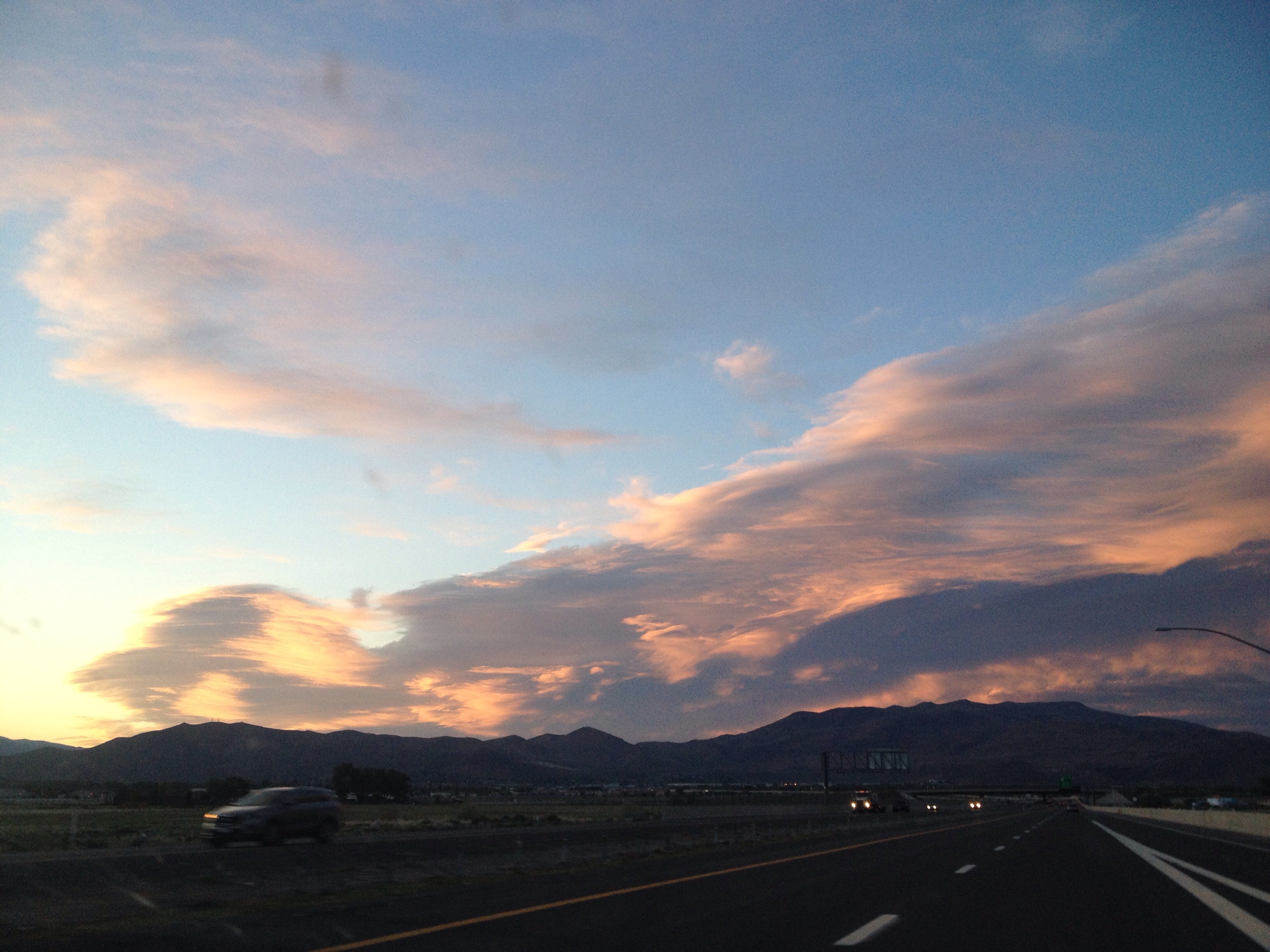
A pretty amazing sky to end the day.

Bike slack 2

Miles: 1127.1 to 1159.7

Mileage: 32.6, plus .75 to car

Day: 30

Today it was Richard’s turn to ride the bike uphill. We got started from the campsite a little later than the day before, but still early enough to finish. 

Also, instead of the hour drive that Richard had, my drive north to Interstate 80 was half that. I left my sleeping clothes on and started north listening to the NPR Now station on XM Radio. I do miss consuming news. 

At the trailhead, I changed clothes and organized myself. The weather was already warmer and cloudier than the day before at 6:45 a.m. Maybe it’ll rain? I thought. Oh, well. At least I’ll get to try my new rain jacket.

The first four miles from Insterstate 80 to Donner Pass were nicely maintained and graded. I’d had a coffee on the drive up so I was moving without effort, it seemed. 

At the pass, I got lost for a minute and lamented, again, on how nicely blazed the A.T. is and how vigilant you have to be on the PCT not to end up miles from where you want.

The climbing started just after the Pass. Up to a ski resort, across the steep runs, down the other side. 


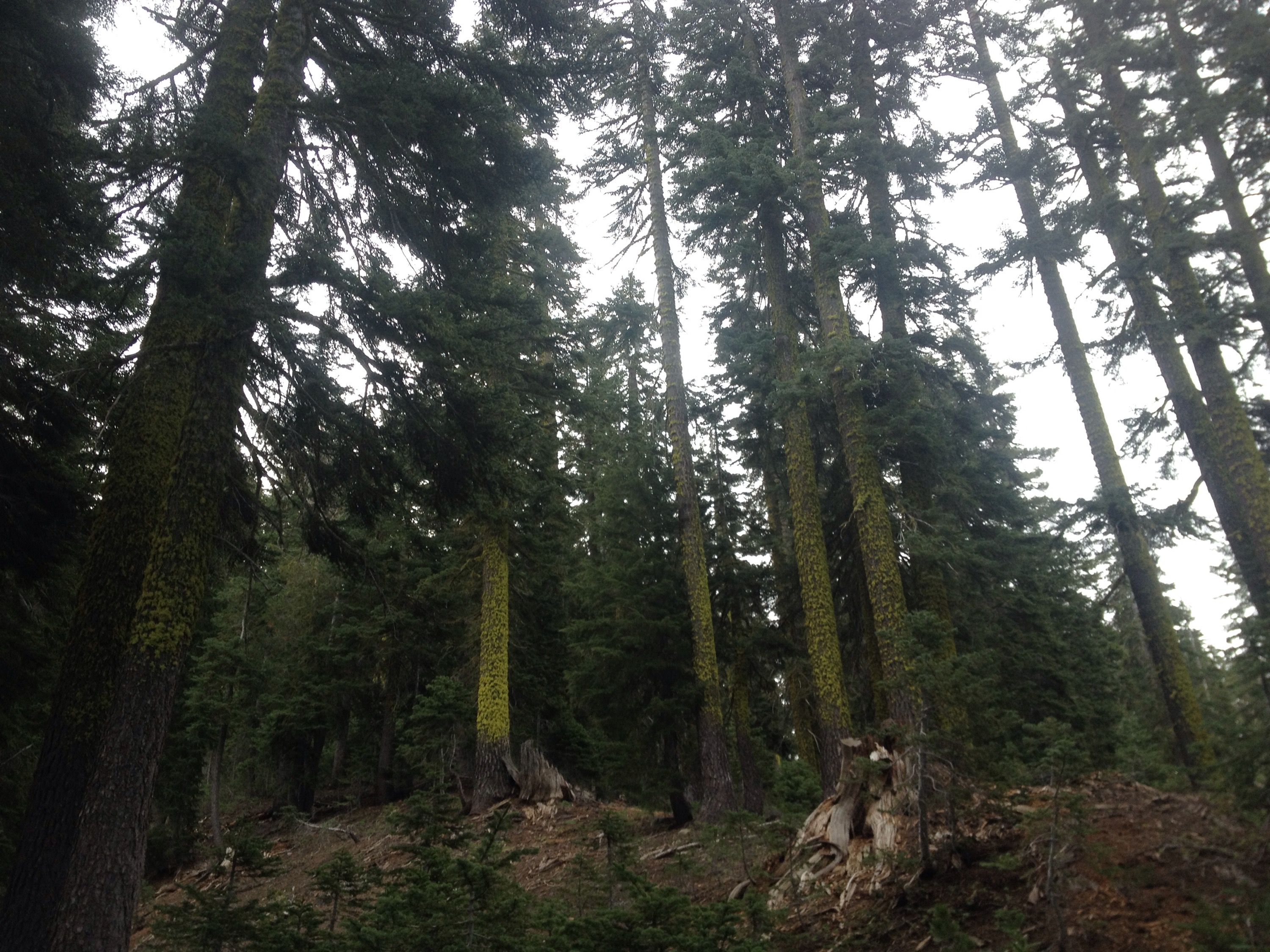
Green moss growing on the pines.
 
The clouds persisted and I started to do some lightning risk management in my head, just in case. The trail was exposed and along a ridge for miles. Where would I go to avoid being the tallest thing out here?

But the rain held off and eventually the sky cleared. I switched gears and pulled out my sun hat and applied sunscreen.  

I climbed up a gravely ridge to Tinker Knob and lost the trail in a snow bank. For some reason, these late season snow drifts tend to pile over the trail. I found it lower on the ridge and followed it down into a valley full of running water. I passed a very nice campsite and then climbed out of the valley to my second ski resort of the day. To get to the ridge, it was another snow climb. Over these, the trail gets disregarded and people opt for the path of least resistance. From a Leave No Trace perspective, I don’t mind these detours. The snow will melt and not even the footprints of the hikers will exist. 

Just over the other side, I ran into Richard. We were both a little tired from the effort of the hiking and spent less time chatting in order to complete our hikes before dark. 

The rest of my day was pleasant. The shoes my mom sent me were working really well and I never really thought about my feet as I hiked. I realize that might change when I try to hike with more weight, but for now, the change is nice. 

After a long downhill followed by a long uphill, I was rewarded by a ridge walk for five miles. 


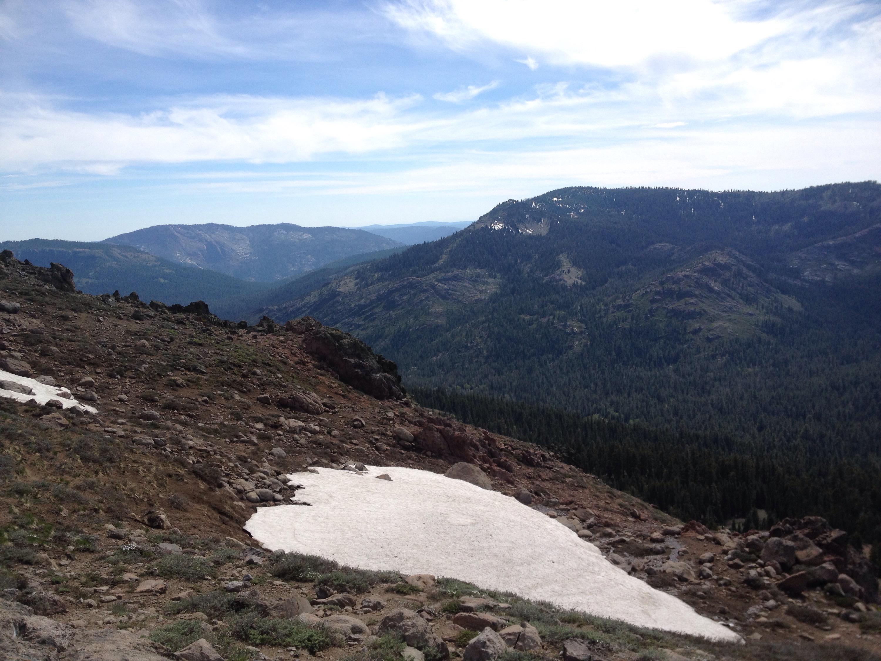
The view west from the ridge.
 
The coolest part was startling a coyote who darted across the trail, grabbed the marmot it had stashed and waited a little ways down the ridge for me to pass. You know while hiking that the wildlife can see you and watch you. But it’s rare to get to see them watch you.

After the ridge it was one more downhill, uphill set then down to the bike. I made it there by 6:30.

The ride down was nice in terms of lack of effort needed to move but I got cold and my butt really hurt from the day before. 

I rode to a small cafe where we agreed to meet for dinner. Grilled cheese, two soups, a huge kale salad and ice cream sundaes.

Bike slack 1

Miles: 1094 to 1127.1

Mileage: 33.1

Day: 43

Up before light, I crawled out of my sleeping bag and found my way to the rental car. I decided to change into my hiking clothes from under the protective waves of engine-generated heat. 

Richard drove me and the bike to the gate across Barker Pass Road. It would be more than 7 miles of up hill riding to get to the PCT. 

I started around 5:40 a.m. It was light enough to see but not light enough for any thermal benefit. I was cold until the effort of the uphill made me too hot. Temperature-wise, I cannot be pleased.


Biking up to Barker Pass.
 
The bike ride was hard. After five weeks of hiking, I have no anaerobic muscle capacity. I can sustain a speed; I cannot accelerate. Plus, my butt was NOT used to being in a bike saddle. By mile five, I was exhausted and seriously uncomfortable.

Once at the top, I locked the bike to a tree and headed south on the PCT. During my bike ride Richard drove south to Echo Lake and parked the car. He started hiking north to Barker Pass.

The first few miles for me were mostly flat or downhill. It gave my legs a chance to right themselves after the odd demands I’d made in a bike ride.

The weather was nice and the trail wound through thick groves of moss-covered pine, over clear creeks and around mountain lakes. There was very little snow but I could see it still covering some of the taller ridges nearby.


About 8 miles south of Barker Pass.
 
Just as I got to the section of trail that goes around some stunning lakes, I saw a familiar shape through the trees. Richard! It worked! 

We sat on a large Boulder and shared information on the trail. Apparently there was a lot of snow I my future. We were in good shape for time and energy levels. Then we started the dinner discussion. We had a stash of Ramon noodles. OR I could get pizza on the way back.

The rest of my day was beautiful, although the snow over Dick’s Pass really slowed me down. But my feet felt great and I couldn’t complain about the scenery.


Fontanillis Lake. Definately my vote for the most beautiful part of the day.
 
I got to the car around 7:30 p.m. By that point Richard was already back at the campsite. Biking downhill is so much faster.

I grabbed a pizza, which we inhaled by the fire Richard made. Brush teeth. Crash.

The second unanticipated zero

Miles: 0

Ok. I hope this is not a trend. 

Today was not complicated by illness but by logistics. 

We slept in to allow a little more recovery time and left the motel around 10 a.m.

We planned to drive about 2 hours north to the Lake Tahoe area for 2 or 3 days of slack packing. 

Slack packing, or slacking, is when thru hikers cover miles on their trail but do so without the added weight of tent, sleeping bag or other overnight gear. 

We intended to slack ourselves, for example, by driving Richard to a road crossing along the PCT and sending him north. I would then drive to a different road crossing 25 or 30 trail miles north, parking the car and heading south. We would meet partway through the day, then continue in our designated directions. At the end of the day, Richard would reach the car and drive south to get me at the same spot where I had dropped him off earlier that morning. 

This process is more complicated than normal slacking because, usually, a third party does all the driving. 

Well, the drive didn’t take 2 hours. It took more like 4 because we had to stop many times for construction. And when we got to the necessary crossroad, it was closed about 7 miles east of where the PCT crossed it. 

Ok, we thought, new plan. 

We rented a bike. In the morning I will ride the bike 7 miles to the trail and stash the bike in the woods. I will hike south 34 miles. 

Richard will drive south 34 trail miles, park the car near Echo Lake Resort and start hiking north. 

At the end of the day, I will drive back to our campsite and Richard will bike back. 

Ooff. So complicated. Oh, well. We’ve heard this section of trail is supposed to be beautiful.