The last resupply in California

Miles: 1647.7 to 1668.8

Mileage: 21.1

Day: 82

When we woke up, the other hikers were gone that had shared our campsite. We are such late risers compared to everyone else. We were motivated to make it to town by 1 p.m., however, because the only restaurant in the small village of Seiad Valley closes at 2 p.m.

We packed up and got moving by 7 a.m. The trail was poison oak central. For the most part it was not as overgrown as the trail just south of Castella, but it took some concentration to make sure all the leaves were avoided. 

The last six miles before town were on roads; dirt, then pavement. By the end, it was hot, we were tired and the milkshakes still seemed so far away.
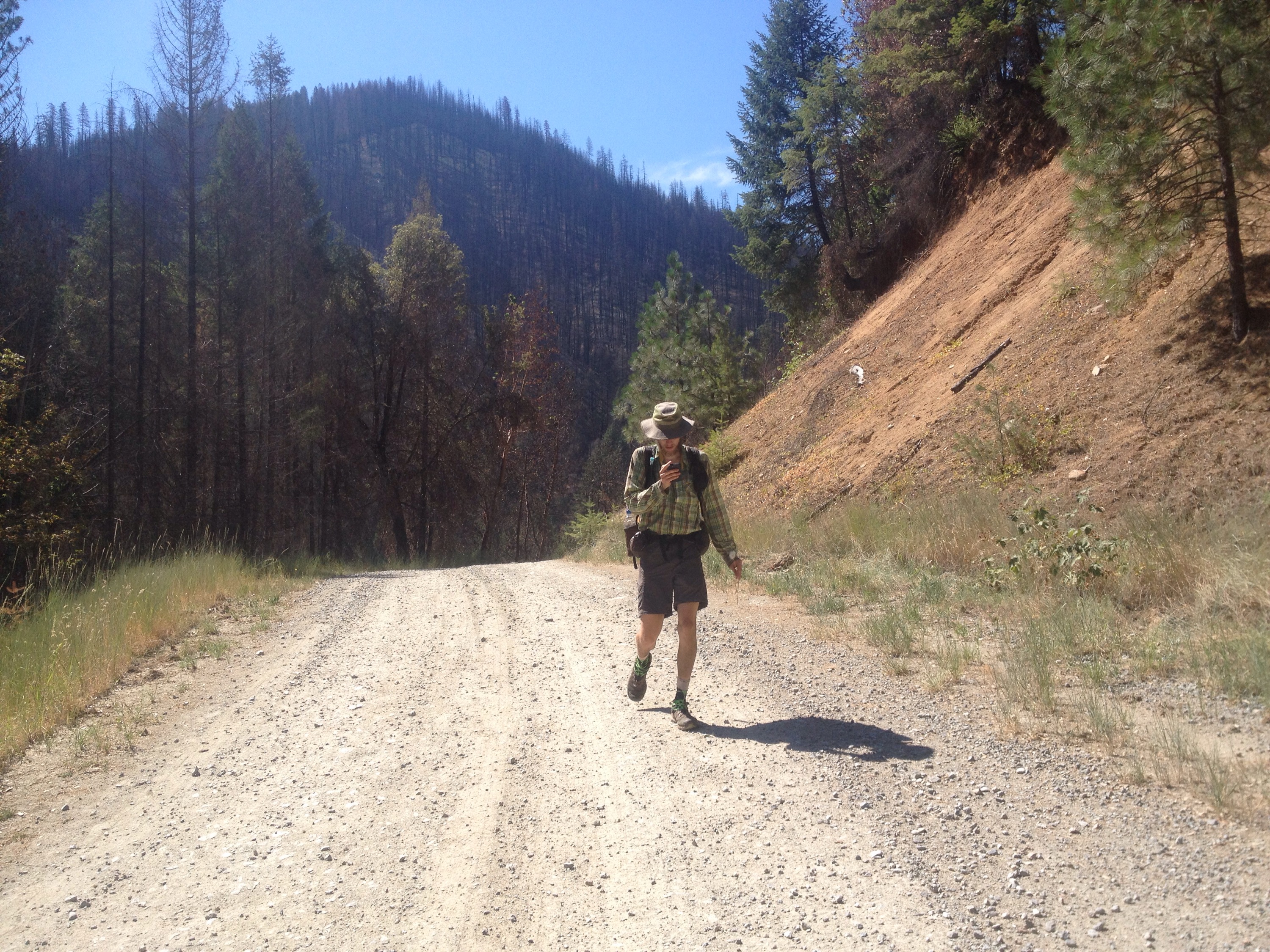
 

Dirt roads lead to towns which have milkshakes.
 
We made it to town by 12:30 p.m. and sat down in the restaurant for some fried food and dairy. 

Each of our meals came with about a pound of French fries and a liter-sized milkshake. These ladies knew how to feed hikers. 

Afterwards we went to the store, picked up our food package and got a few more things to eat (watermelon and  cold drinks).

We organized ourselves at a picnic table outside. Just as we had everything put away, it started to rain. Hard.

Then came the thunder and lightning. 

We huddled under the awning of the public restrooms building and waited for everything to pass. After an hour or so, things calmed down and we decided to hike out of town. It was an hour later than we’d planned, but better than being electrocuted by lightning. 

The rain had cooled things down but also added an uncomfortable layer of humidity to the air. 

We dodged more poison oak until we were back above 3,500 feet. 

The clouds stayed thick over our heads and continued to threaten more lightning and storms. 

We chose a tent site that was less exposed than some spots but more exposed than we would have liked given the proximity of storms. But there was nothing more for miles.

We hunkered down just as the rain started. We took turns counting for thunder after the lightning flashed. The storms started 20+ counts away. They got as close as six, but then just stopped. The rain and wind stuck around for a little while longer but by 10 p.m. it was all over and we had a calm, quiet night on the ridge. 
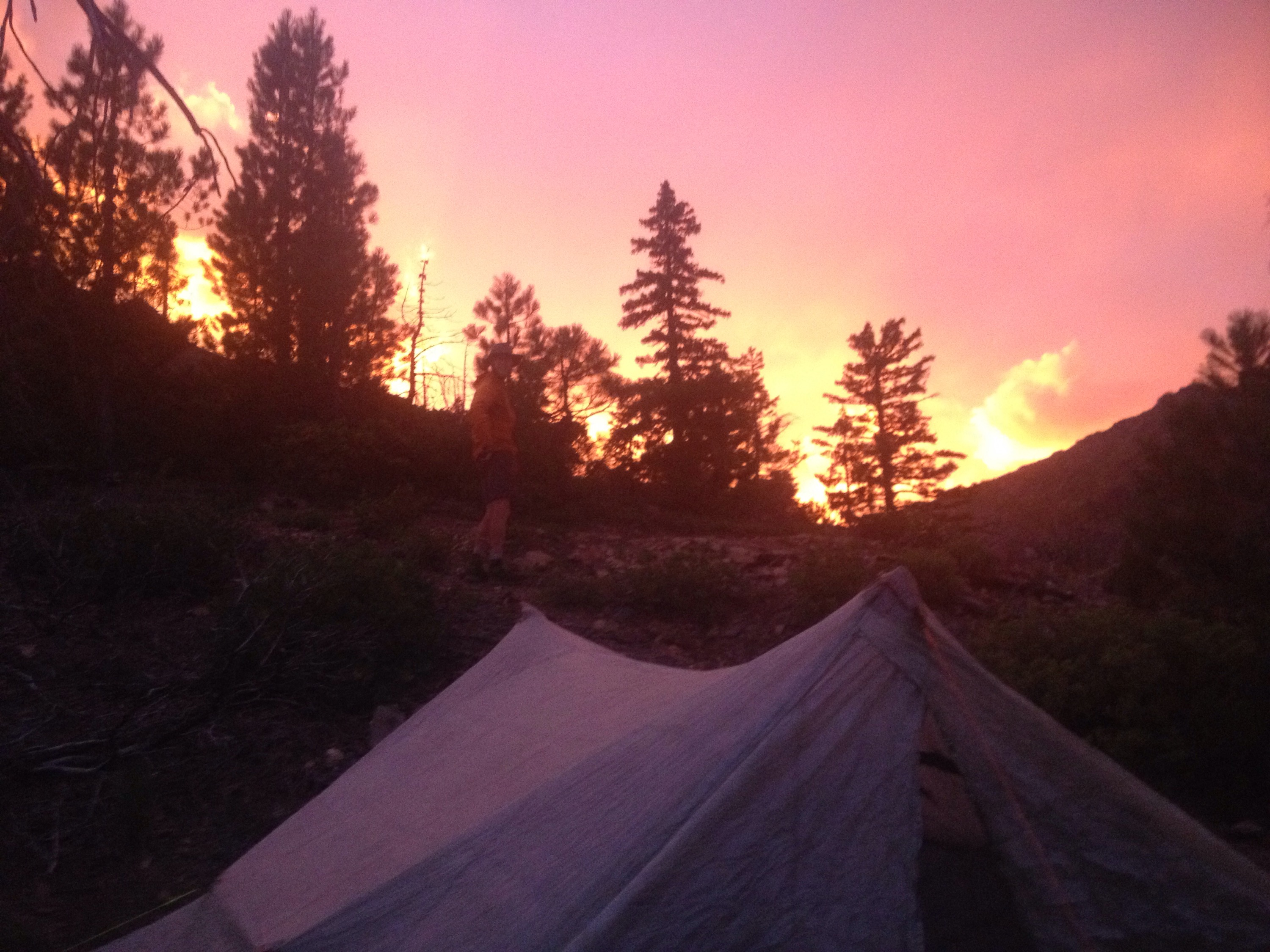
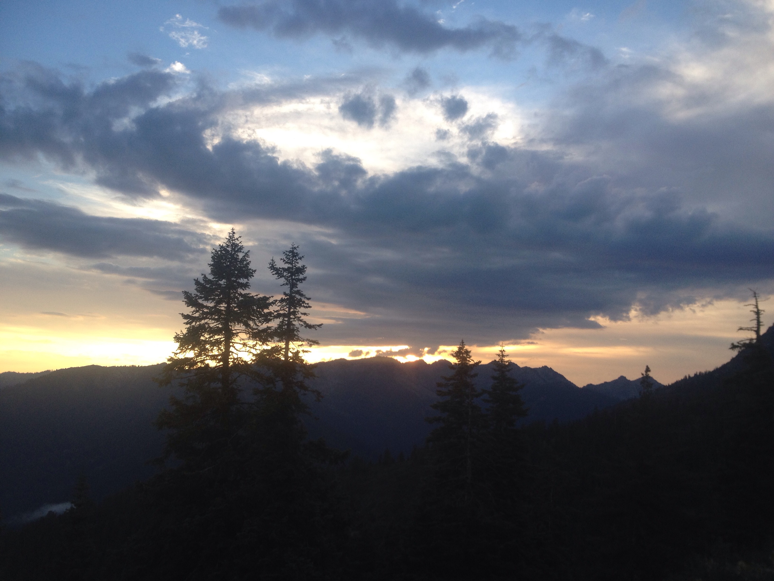
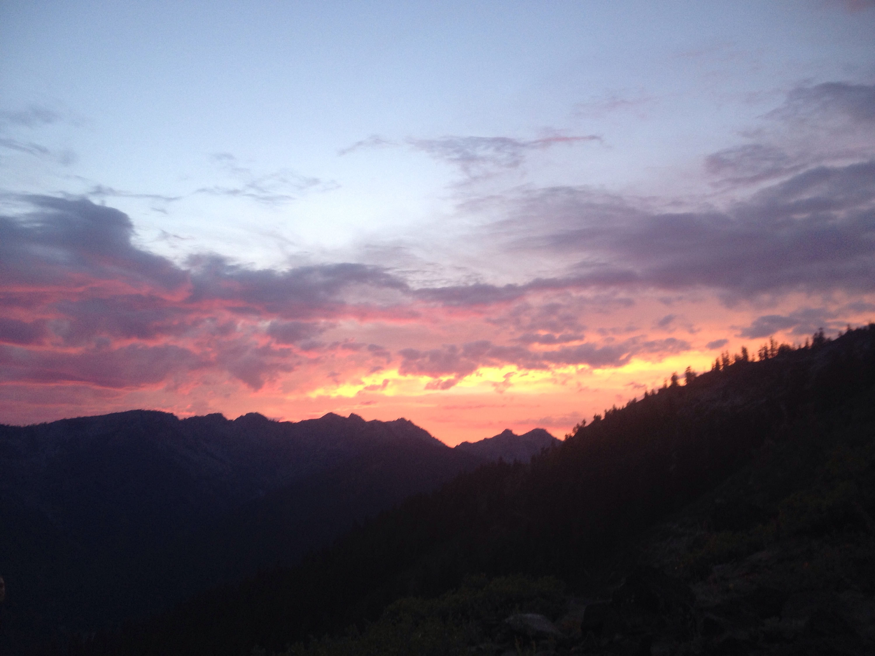
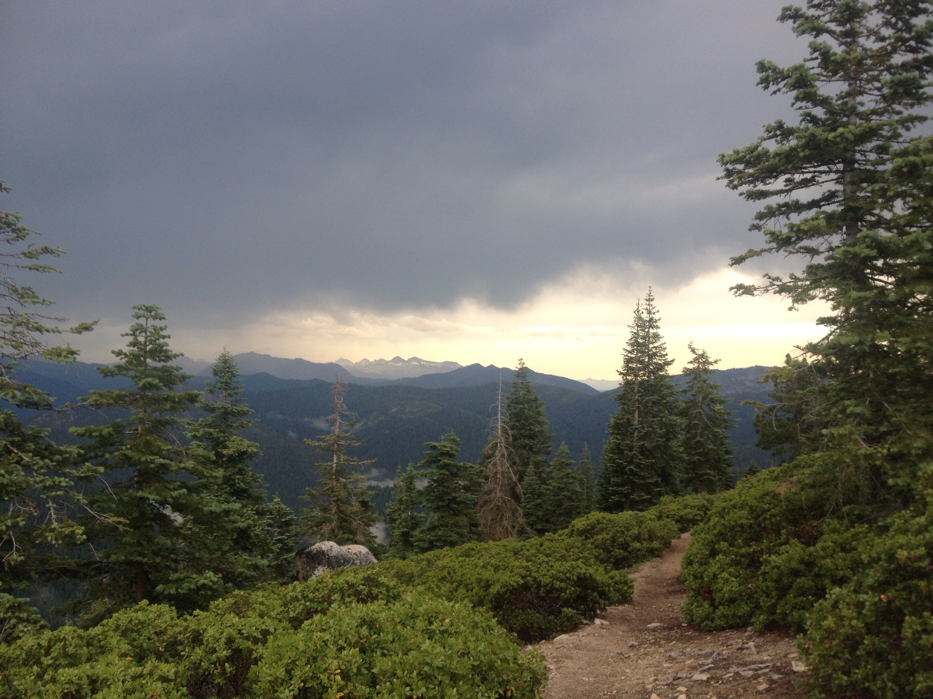
The fire-like sunset before the thunderstorms.

When the sun returns, we put down miles

Miles: 1617.1 to 1647.7

Mileage: 30.6

Day: 81

Again we woke to blue skies. How long will this last? A couple of hours before the thunder clouds return, maybe, I thought. 

But it lasted all day. 

We started late, per usual. But given the good weather and the prospect of hitting the diner in town the next day, I was prepared to walk.

Even through my brand new blisters. I really thought I was done with these. But a few days ago (I blame the heat) I started getting blisters on the tips of my pinky and second toe on my left foot. One is already working its way to being a callus, but the one on my pinky just keeps getting bigger. I popped it once and it came back. Well, it will have to go away eventually I guess.


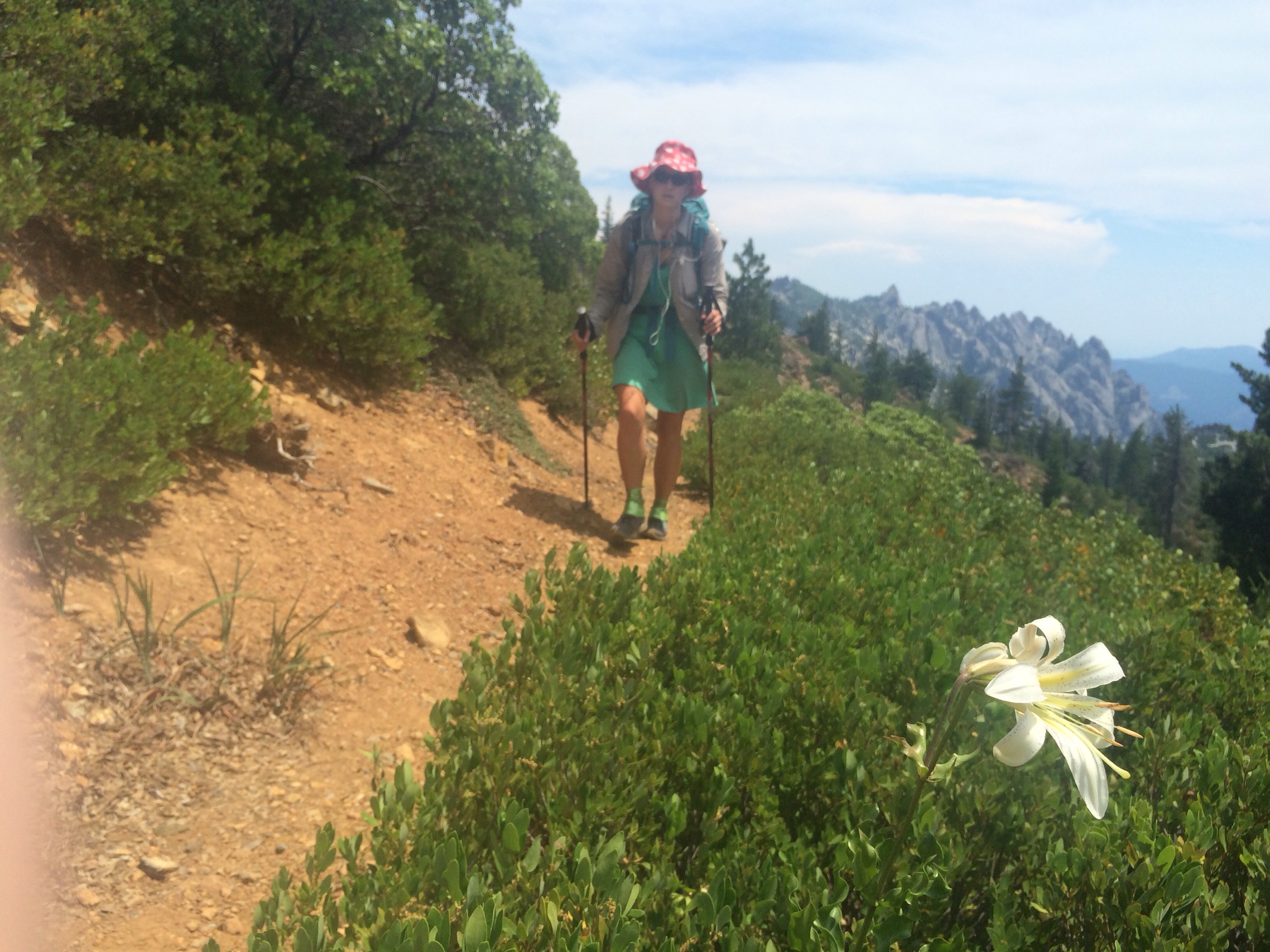
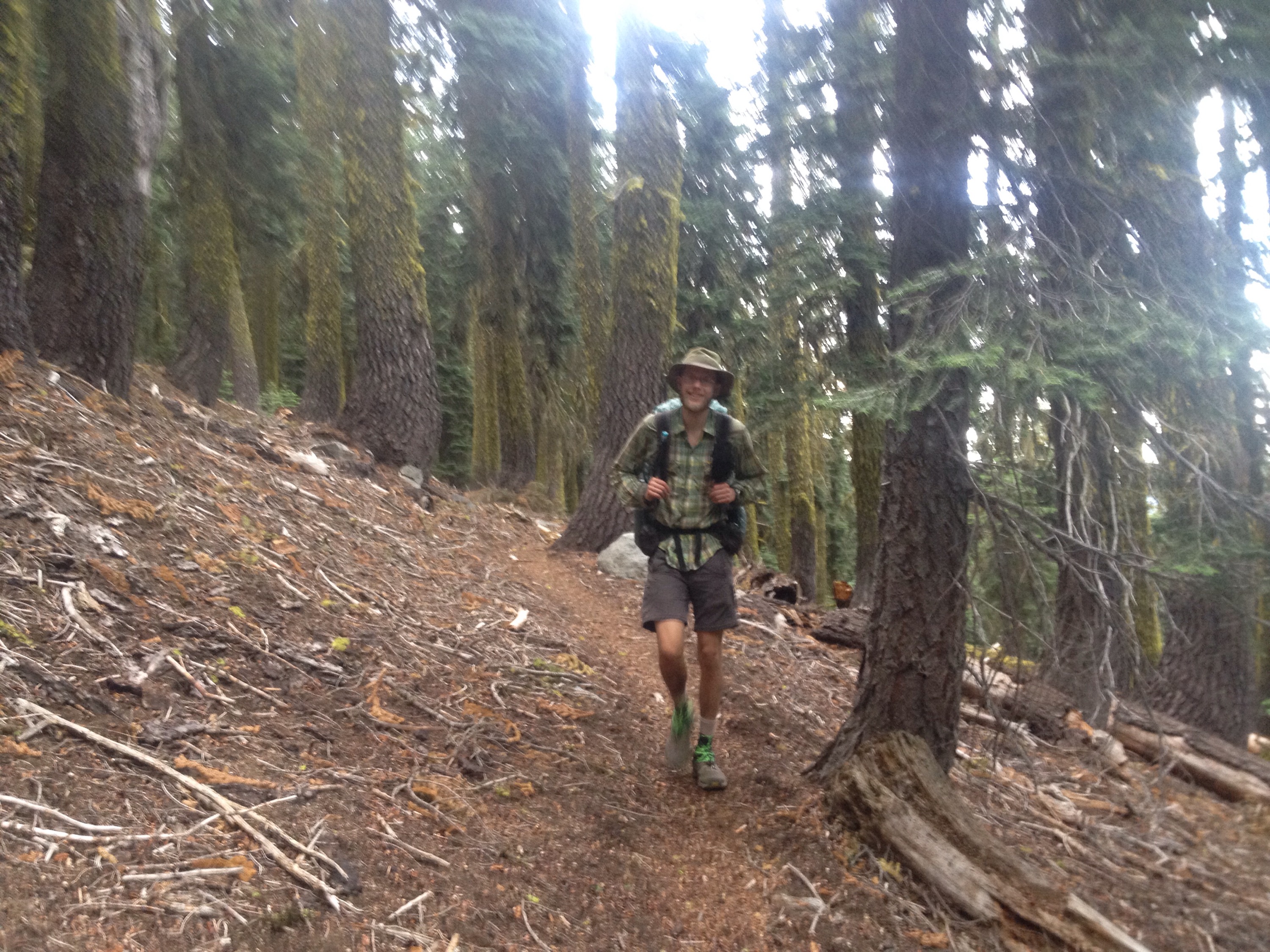
That’s my miles-for-food face.
 
The terrain for the day was varied and the temperatures were sometimes quite warm. But after over 20 miles of up and down we had only a long downhill between us and camp. 

We got there just before dark. The mosquitoes were still out and excited to see fresh blood. The other two camping at the same place were already in their tents when we rolled in and the bugs were glad the night’s meal wasn’t over. 

Because we had dropped so much elevation, it was one of the warmest nights we’d had in a while. 

But we slept through it anyway.

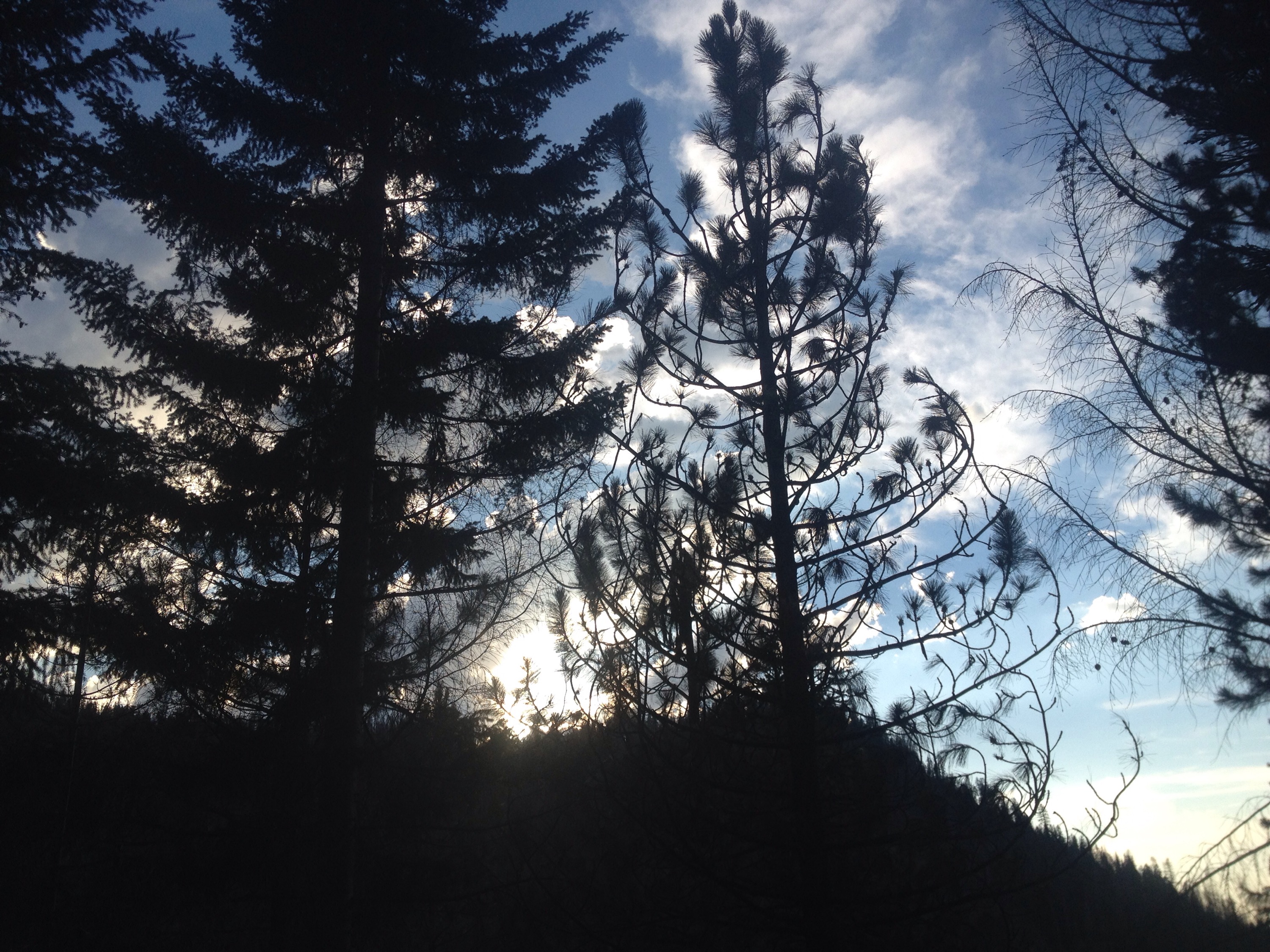
Pretty sky beyond the trees.

Thunderstorms: day 2

Miles: 1585.5 to 1617.1

Mileage: 31.6

Day: 80

The day started cool and cloudy. Quite a change since so many days on the trail have started blue and cloudless — and mostly stayed that way. The rare day has clouded over by the afternoon, but not many. (The Sierras stand as the exception, as it snowed on us most of those miles.)

By 10 a.m., the sun was back and we were hot. The terrain was serial ups and downs. Sometimes I wonder if the seemingly nonsensical elevation changes are meant to be a joke by trail makers. They know we’ll walk where ever the trail goes, so they think it’s funny to waste our calories. 

Mostly I try to believe that they know the terrain better than I and have chosen the easiest or most scenic route. But I really only think that way on downhills. And by that point I am pitying the south bound hikers who will have to go up whatever I am going down. 

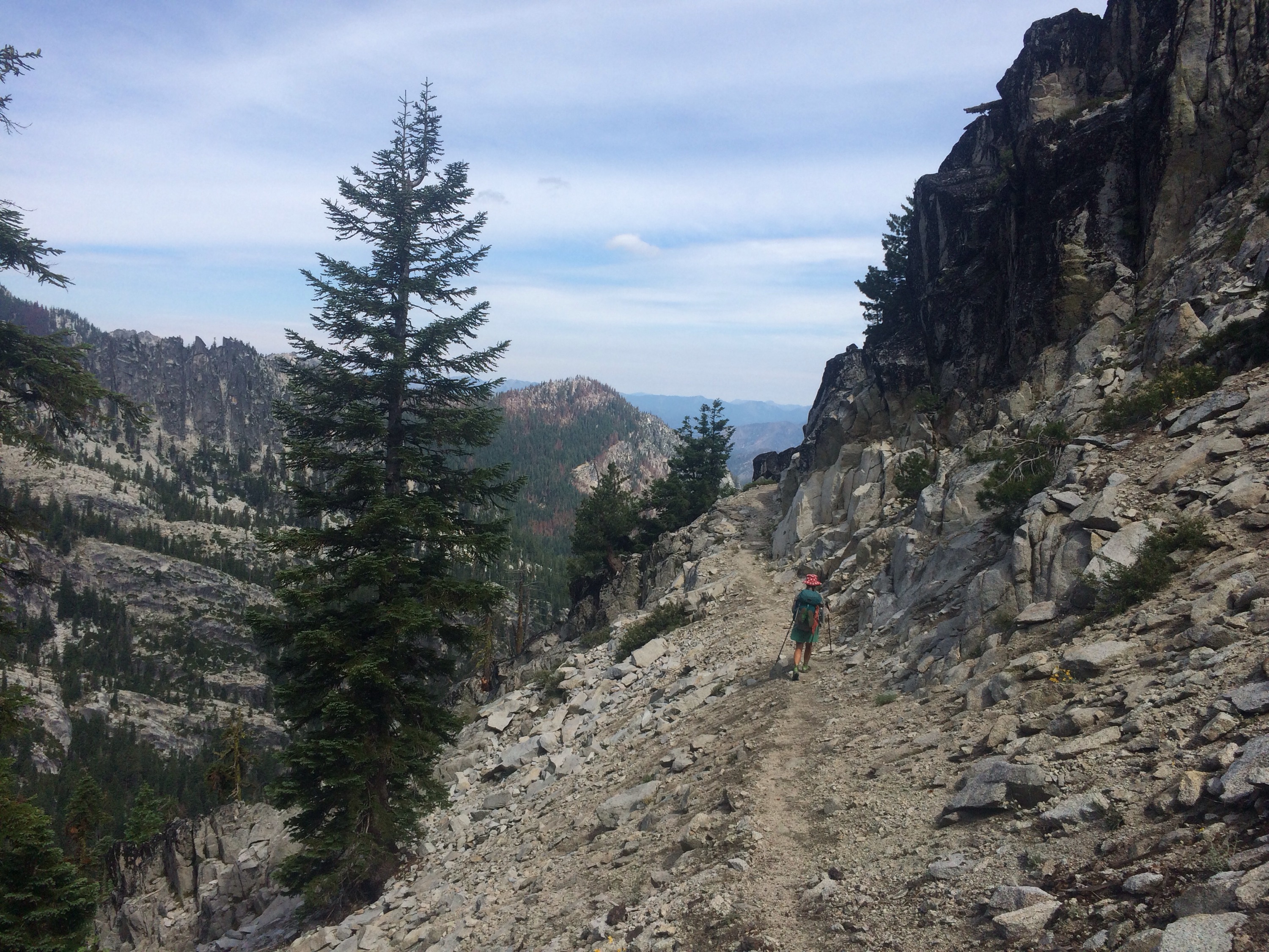
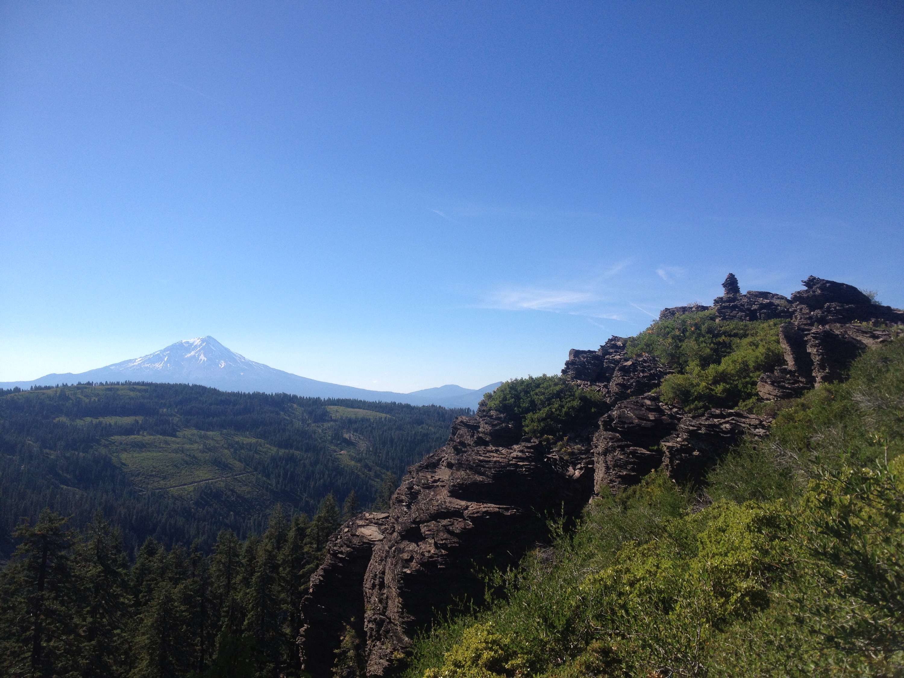
For the lunchtime hours we traversed a rock ledge blasted into the side of the ridge. We looked down on the Russian Wilderness that had burned in years past. 


Ledges for miles.
 
In Northern California, it seems we walk through a skeleton forest at least once a day. This landscape is very familiar with charred trees and when the wind is right, it still smells smoky. 

We filled up on water at a lake outlet stream and then started up the second to last climb of the day. The higher we got, the thicker the clouds became. By the time we got above treeline, a thunderstorm was dropping rain on the valley to our east. We discussed our lightning plan and kept an eye on the thunderhead. 

By the time we dropped back down the other side of the ridge, things had calmed down. 

That is, until it was time to start climbing again. We entered the Marble Cliff Wilderness with storms on both sides of the ridge we scaled. 

One passed over us while we were still beneath the trees and out came the rain jackets and pack covers. 

By 7 p.m. the rain and storms had moved on and we walked until dark trying to find a flat spot to camp, letting our clothes dry a bit. 


The calm after the storm.
 
I was so tired by the time we stopped that, according to to Richard, I was making “weird noises” as I set up the tent. I don’t remember making any sounds, but I imagine they were similar to sighs or grunts of effort. 

Sometimes the miles really wear on me, but it’s nice to make progress and there’s no point standing still in the rain: you only get cold. 

We ate quickly and I enjoyed laying flat for the two minutes I was awake after crawling into my sleeping bag.

Trail magic and thunderstorms

Miles: 1561.9 to 1585.5

Mileage: 23.6

Day: 79

A deer walked through our tentsite overnight. It scuffed at the ground and stepped on some sticks. I was glad it wasn’t a bear. 

I was tired in the morning but a 30-mile day will do that. It started off cooler than the last few days so we had high hopes for a less-than-stifling day. 

At the major road crossing, there were a few cars in the parking lot. At one, a white SUV, a man asked if we were thru hikers. 

Yes, we said. 

That’s good, he said. Can I interest in a soda or Gatorade? 

A little trail magic before a climb never hurt. We followed him to the rear of his SUV. After taking a Sprite and a blue Gatorade, he asked if we might like a Subway sandwich. 

Are you kidding? I said.

As it turns out, the man’s wife is a Triple Crown hiker. The Triple Crown of thruhiking includes the AT, PCT and Continental Divide Trail (the CDT). Steady, as she is called on the trail, told us to take off our packs and laid down a sheet of Tyvec for us to sit on while we ate. 

Steady’s husband kept bringing out more goodies. Pringles, condiments for our sandwiches, the choice of mini donuts or cookies, individually-sized pies, and finally, candy bars. It was amazing!

With the extra calories we figured we might actually make it to Seiad Valley, our next resupply, without completely running out of food! They basically gave us a half day’s worth of calories. 

After leaving the lovely trail magic, we headed back up into the mountains. It was getting hot. We sweated up the climbs and tried to take advantage of every sliver of shade, sometimes walking on the edge of the trail just to stay shaded a few seconds longer. 


Hot walking.
 
We picked a water source to aim for for our afternoon break. Once there, we plopped down on two rocks and had a snack. 

Just as we were gathering our stuff to keep on, a hiker ran past us to just under the shelter of the pines. 

I almost got hit by lightning, he said. His name was Crash and he seemed very spooked. 

A crack and rumble of thunder seemed to have followed him. It was right overhead now and very loud. 

We kept hiking for a little while until the trail took us up and away from trees. Looking at the map, we knew we had quite a length of exposed trail ahead of us. 

Since the thunder was still going nearby, we opted to wait it out. After an hour and a half, the worst was over and we got back to hiking.

We made it down off the ridge and to a nice campsite around 8 p.m.

Dinner was taco couscous, as Richard named it. 

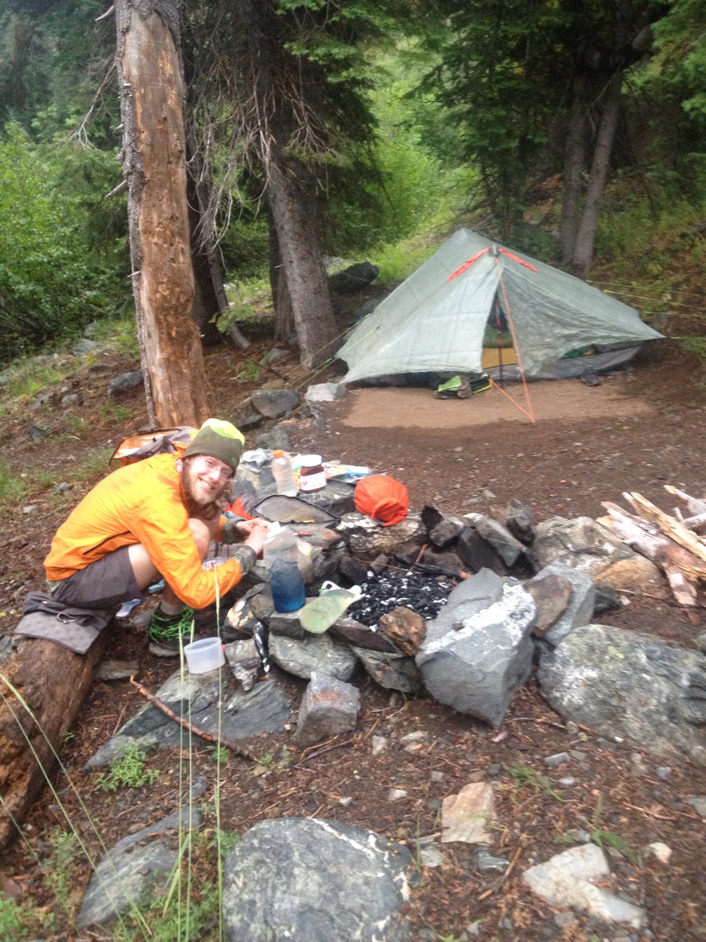
Dinner and campsite.

A single day’s respite

Miles: 1532 to 1561.9

Mileage: 29.9, plus 0.1 to water

Day: 78

When we woke up it was still a little chilly. I took that as a very good sign for the day’s temperature. I even saw some cloud cover as I climbed out of the tent. 

The lack of heat or big climbs allowed us to move better than the day before. Because the temperatures stayed comfortable for hiking all day, we didn’t stop for lunch. We opted for an earlier quitting time instead. 

We filled up with water about 2 miles from our campsite. We hoped to find a flat spot soon after getting water, but we didn’t hit a suitable shoulder of the ridge until past 8 p.m.

We ate Ramon noodles and watched a bright red sunset as we brushed our teeth.

Not a bad way to send yourself to bed.

So hot; so climb

Miles: 1510.3 to 1532

Mileage: 21.7, plus 0.6 to water

Day: 77

On being woken by the alarm, I already wanted the day to be done. Ahead of us was a big water carry, a big climb and a hot weather forecast.

We had a couple of miles to cover before the final reliable water source for 25 miles and the climbing started. Every step I took that went downhill, I was thankful for. 

At the last water source, we tanked up, each taking five liters. The climb started shortly after. The sweating we had gotten started on immediately after leaving our tentsite. 

Each step was an effort. I knew it would end eventually. At some point or another we would walk flat or even downhill. It just seemed to take forever. 


We walked above lakes that looked so refreshing and so far away.
 
The second half of the climb was less steep than the beginning. By 2:15 p.m. We had overtaken the crest and were walking on top of the ridge. We found a sheltered yet breezy and shady spot to stop for a break. 

We made a meal of instant potatoes, quinoa, cheese and bouillon while we waited out the heat. 

Around 4:45 p.m. we got back to hiking, putting in another 10 miles before 9 p.m. We ate a few snacks, brushed our teeth and crashed. 

Again, like the Sierras, the weather had slowed us down. Only this time, the weather was attempting to melt us rather than bury us in snow.  

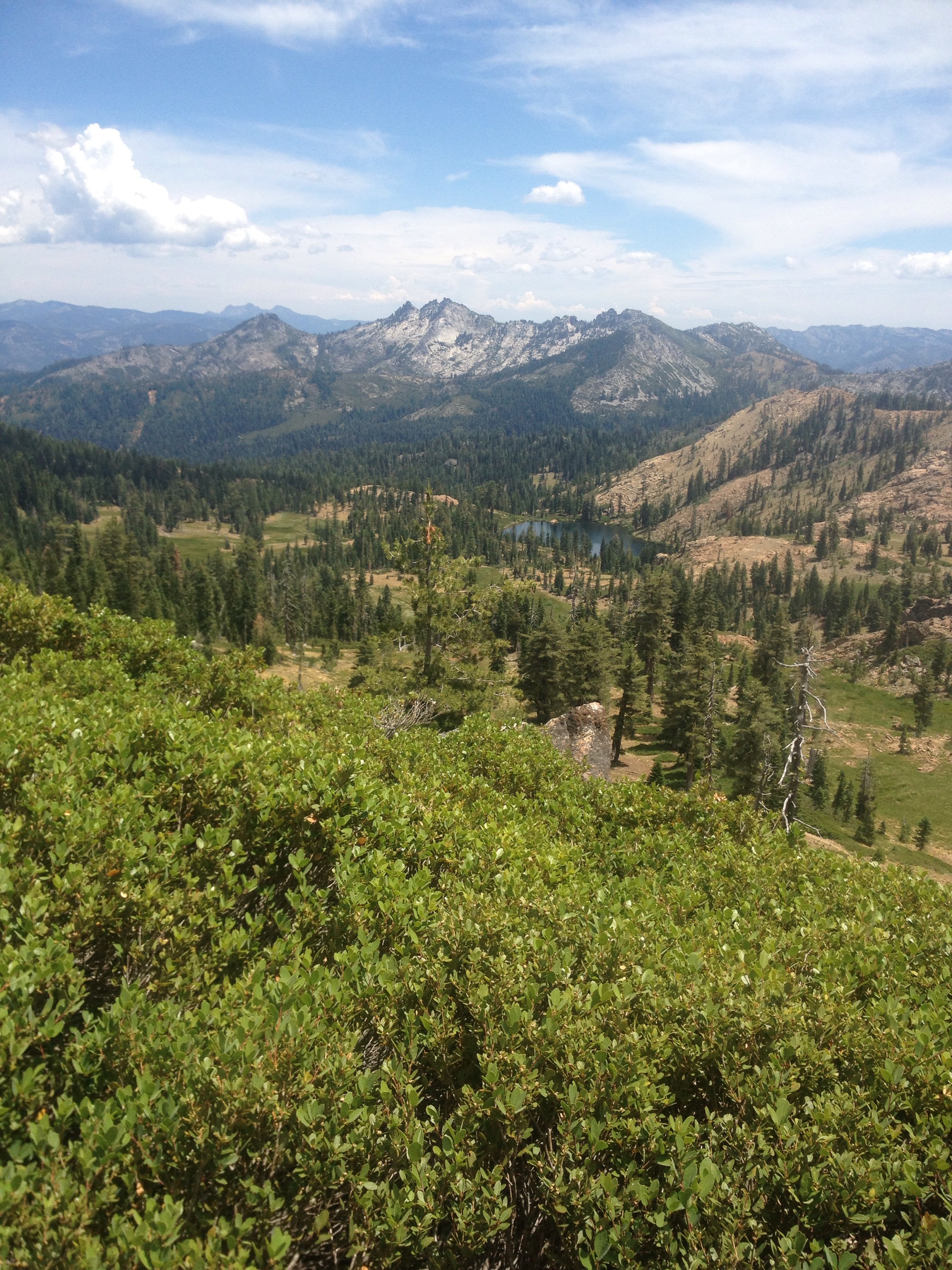
Similar to the very cold Sierras, Northern California is beautiful.

The heat rolls on

Miles: 1489.8 to 1510.3

Mileage: 20.5, plus 2.6 to Castella for resupply and 0.1 from camp

Day: 76

We woke up with the alarm today. The goal was to make it to the store in Castella and the post office before it closed at 3 p.m. 

The end result was that we made it just in time. But the extreme heat of the day was burdensome in making that happen.

Once at the store, I found the temperature and the forecast. At 5 p.m. it was 100 degrees. And the temperatures predicted for the next three days would be just as hot. 

In the Sierras, the unseasonable winter weather slowed us down (plus altitude). Now it’s the unseasonable summer weather. 


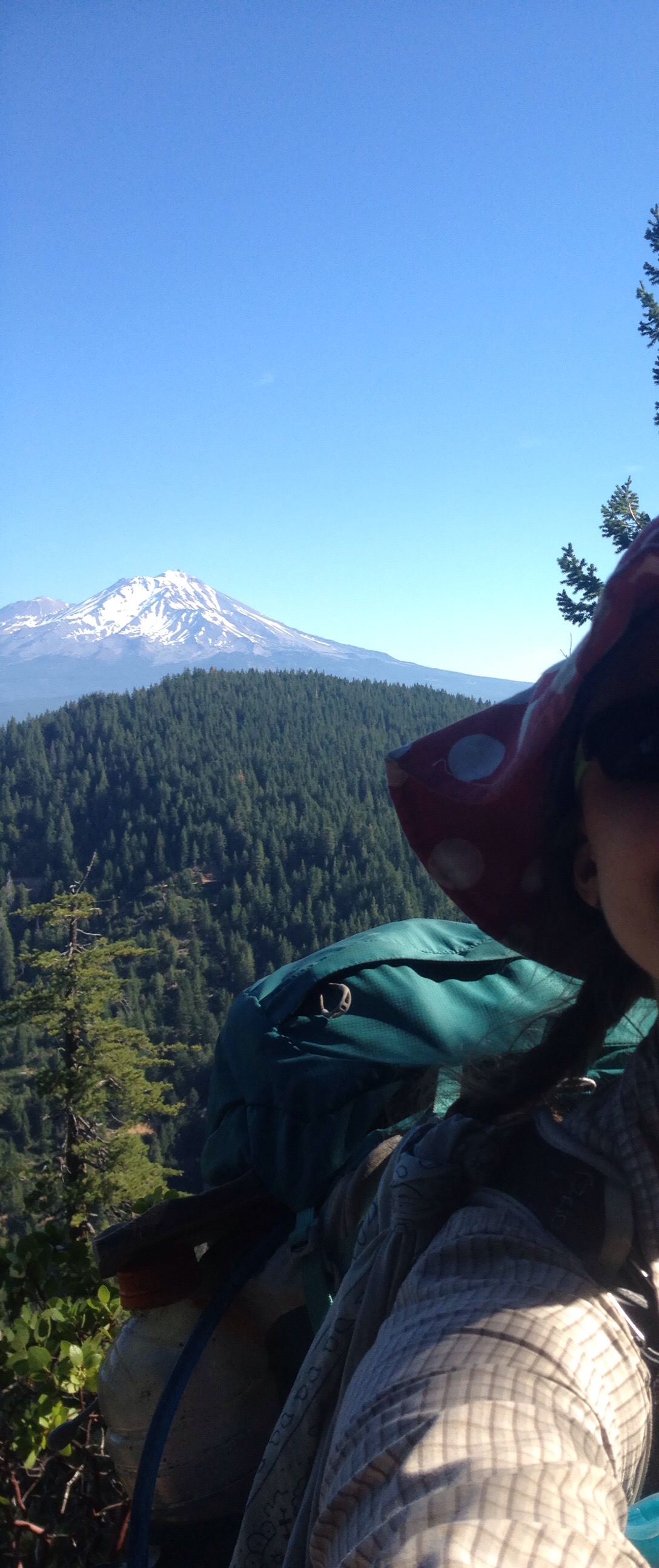
Mt. Shasta and part of my head. This is why I don’t do selfies.
 
We sat at the picnic table outside the store and sweated in the shade. We ate ice cream and cherries and drank everything we could find: water, milk, Gatorade, ice tea, etc.

The heat from incoming car radiators blew across the parking lot and onto us. We sweated some more. 

We didn’t leave the store until almost 8 p.m. We found a tentsite in the dark by headlamp. 

Fortunately, after leaving the store area, the poison oak seemed under control or didn’t grow. It seems to prefer certain aspects of slope and doesn’t grow above about 3,500 feet. 

The poison oak the day before was challenging. Have you ever seen poison oak growing above your head? There were some sections of trail that we had to walk like it was a maze with walls that were electrified. 

Despite trying very hard to keep my arms and legs inside the ride at all times, I know I got swiped multiple times. It was mostly my clothes and pack. 

Once we got past the bears and to our tentsite, I got into the Squaw Valley Creek with all my clothes on, socks and everything. I rinsed and hoped the creek water would watch off the irritating oils. 

So far, I think it worked. No breakouts yet. 

We crossed mile 1500 on the way into Castella. And Richard applied sunscreen.

A 2-bear kind of day

Miles: 1462.9 to 1489.8

Mileage: 26.9, plus 0.1 to camp

Day: 75

I’ve seen five bears on the PCT so far. Richard has seen 1.5 of those. 

The first, I’ve mentioned before. We were getting water near mile 500. The bear joined us for a brief moment; so brief, in fact, that Richard only saw its butt as it was leaving (that’s where the half comes from).

For a while past that, I didn’t see any bears. There was evidence like scat and scratch marks on trees but no sightings.

But in the last week, I’ve seen four. 

Most notice us before we (I) notice them. They run off at full speed and I just catch a glimpse as they go. 

That’s how today’s first bear behaved. It took off and wanted nothing to do with us. 

But the second bear was different. 

Richard was hiking in front of me. We were heading downhill to the Squaw Valley Creek where we hoped to find a campsite. It was past 8 p.m.

Richard startled the large brown-colored black bear from whatever it was doing just to the right of the trail. It ran up the slope away from us. But then it stopped. It turned around and looked back down on us from 40 feet up. 

We talked loudly so it would know we weren’t prey. I banged my trek poles together to be louder. But it wouldn’t be scared off. 

As we kept going down the trail it started growling at us. They seemed like the intimidation tactic I’d heard — but never seen — a black bear will use to scare off whatever it finds threatening. If you stand your ground, it might charge you but probably not get so close as to touch you. It’s a bluff charge.

Rather than give this bear the chance to charge, we slowly started hiking. Because of the bend of the trail, we were out of its line of sight in mere steps. 

I kept looking back and up the slope above us to make sure it wasn’t following along. 

We didn’t see it again. 

However, we did happen upon a campsite near a National Forest pit toilet. We stored our smellables inside the concrete building. We figured the smell of the toilet would mask the food or the bear would just have at it but we would be out of the way.

The day also involved much and more poison oak avoidance, but I will have to get into that tomorrow. The heat is still on and it zaps me of energy. To sleep I go.

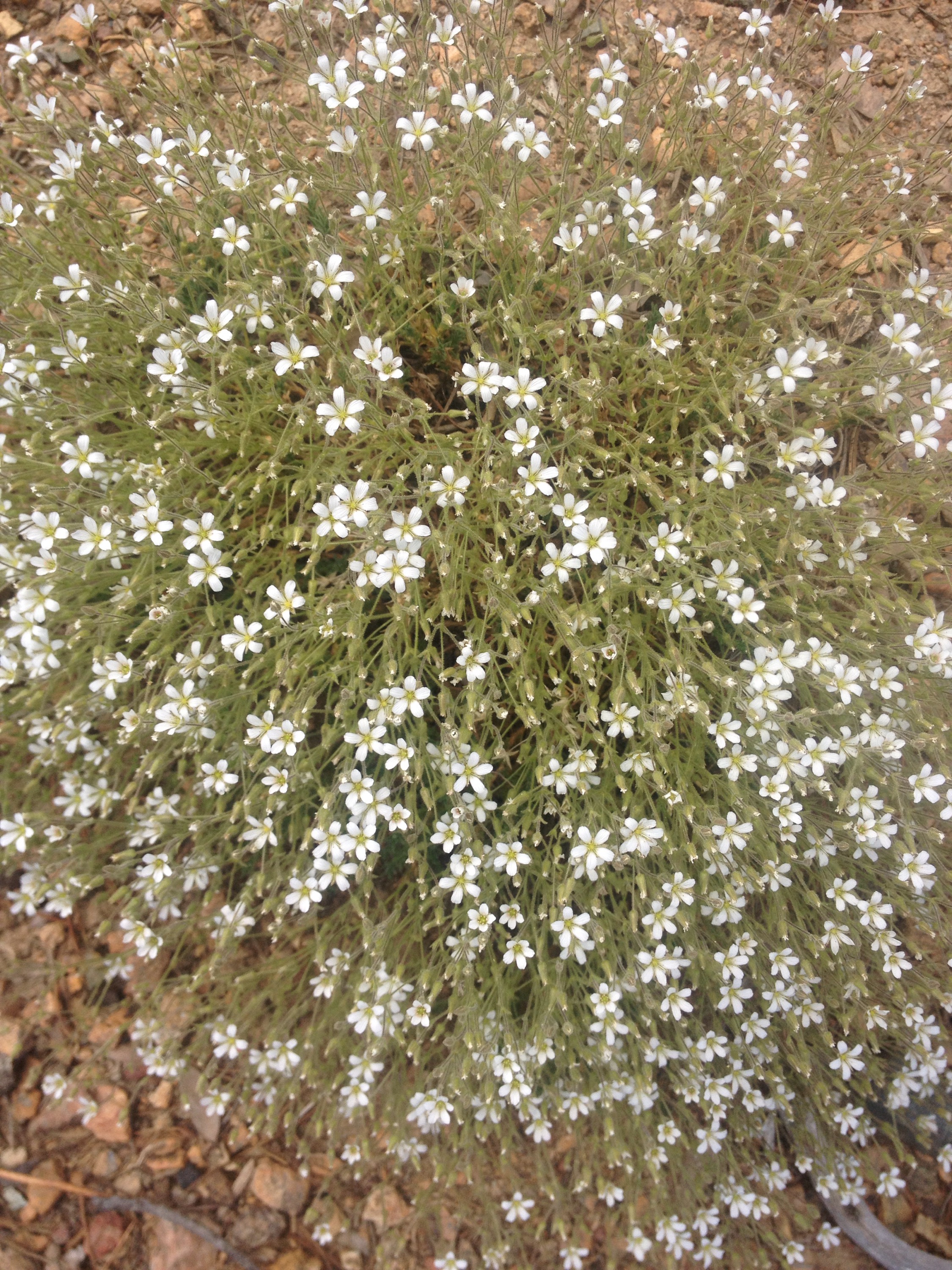
Sidenote: the wildflowers out here are amazing. I think I will miss them the most of this thruhike. California certainly has amazing flora.

Bugs: our constant trail companions

Miles: 1437.4 to 1462.9

Mileage: 25.5

Day: 74

We cannot seem to get the hang of waking up with the alarm(s). The first one goes off at 6 a.m.; an arguably late start for thru hikers as it is. The second goes off at 6:30. 

I would postulate that I hear one of them about half the time. Maybe 10 percent of the time I hear both and the rest of it, I sleep right through it all.

Whomever wakes up first will usually poke the other to get things moving. An effective, but as yet unused because it would probably provoke violence, wake-up tactic would be to deflate the sleeping pad of the other. It would be very mean, so I’ve only spoken of it here and not to Richard because then he might use it on me. 

Once we got up and packed, it was already hot. The gnats and mosquitoes did not sleep in and they chased us up the first climb. 

The gnats out here like to land on my sunglasses. If not removed quickly, they will migrate to the inside of the lense and move in on their real target: eyeballs. I think they’re aiming to get some water from my eyes, but they really just end up dead; either because they drown in the excess water my eyes produce from being invaded by a foreign body or I delight in squishing them for even trying. The day-biting mosquitoes up here are small but tenacious. And they keep one eye on their backs because they always fly away right before I assault my own face, neck, arms or legs. 


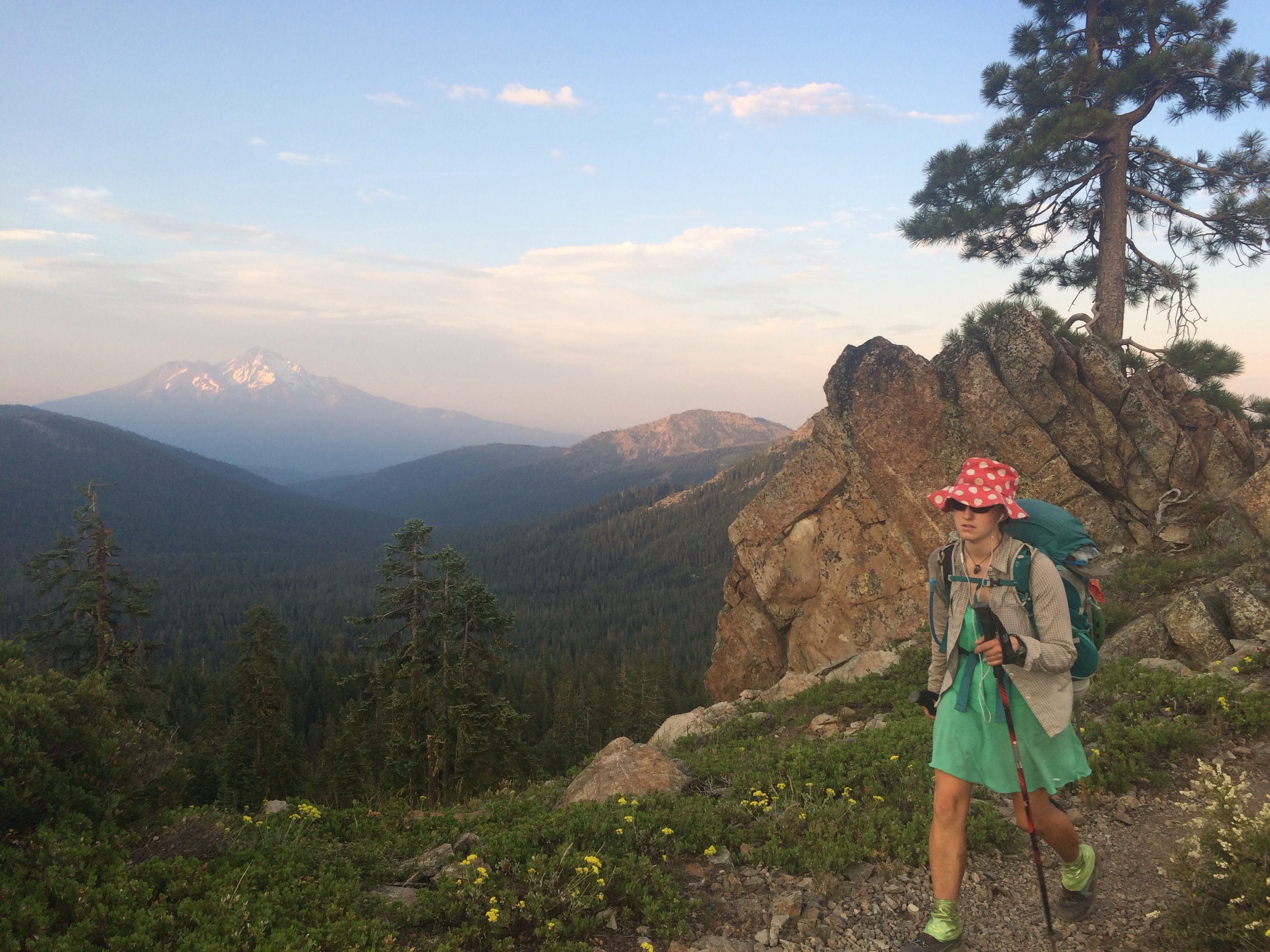
Mt. Shasta. We will see this mountain for days as we hike.
 
Around 2 p.m., we stopped for water and food. We enjoyed the shade until about 4, when it was time to keep moving. We’ve decided in this heat to revert to our desert schedule of hiking until the heat of the day then breaking for a couple of hours and ending the day after 8 p.m. when things have cooled off. 

Tonight the flies put us to bed. 


“The coolest day of the week”

Miles: 1412.8 to 1437.4

Mileage: 24.6, plus .4 to get resupply from camp store

Day: 73

Before we even got out of the tent, it was hot. Early in the day, we got some hazy, lazy clouds that did little to shade us from the sun.

We passed a day hiker who told us today was predicted to be “the coolest day of the week.” My shirt was heavy with sweat and my mouth was dry despite having just taken a gulp of water. 

Better enjoy it while it lasts, I thought. 

We made it to Burney Falls State Park around 12:30 p.m. Mom had sent our food package to the camp store there. 

I got the package from the clean ladies at the counter and we organized ourselves on the benches outside. 

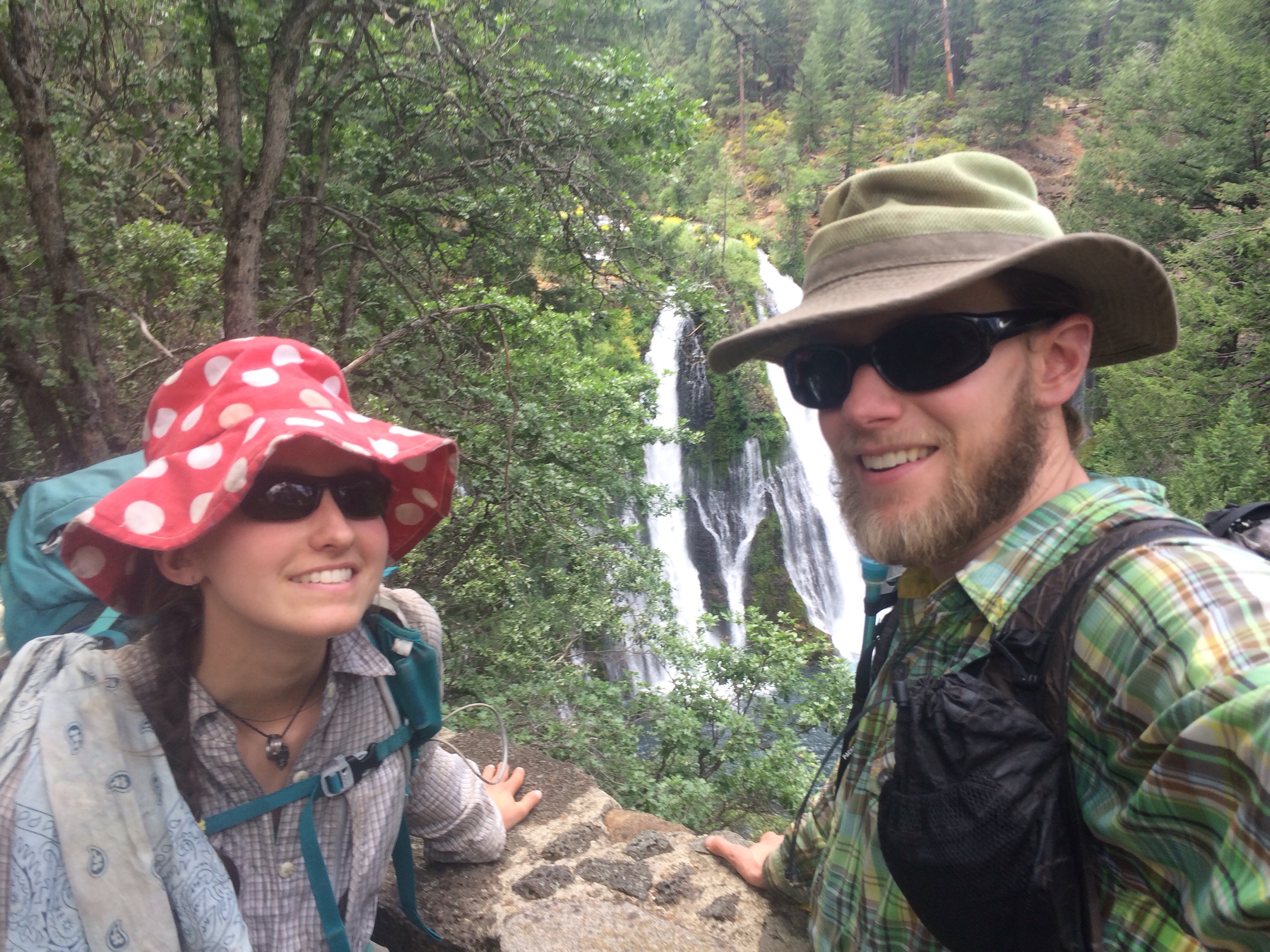
After ordering and eating a soft pretzel with cheese and a large ice cream cone, we went for a look at the falls. Apparently during the summer, the water falling over the 100-foot drop is sourced completely from a spring not even a mile upstream. The water in the pool below was a deep blue and looked so inviting. 


Burney Falls and us.
 
But we kept on hiking. 

The day had really warmed up by then but the ice cream served well to fuel us up more elevation gain than we’d seen for days. 

We pushed on until after 8 p.m. and ended up next to a very cold stream just as the air started to cool. 

Dinner was Hamburger Helper stroganoff minus the hamburger. Very sleepy, we slipped into our sleeping bags and slept through the alarms.

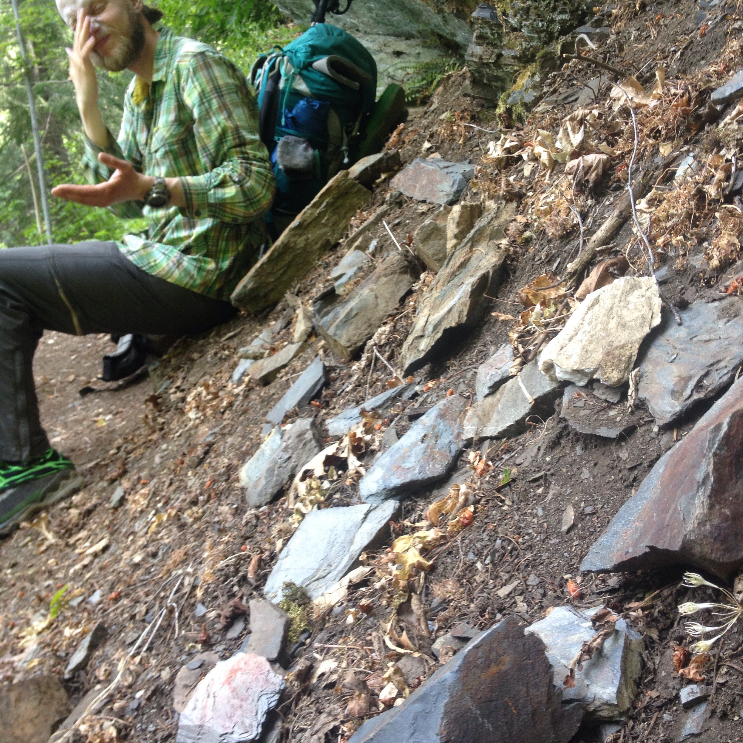
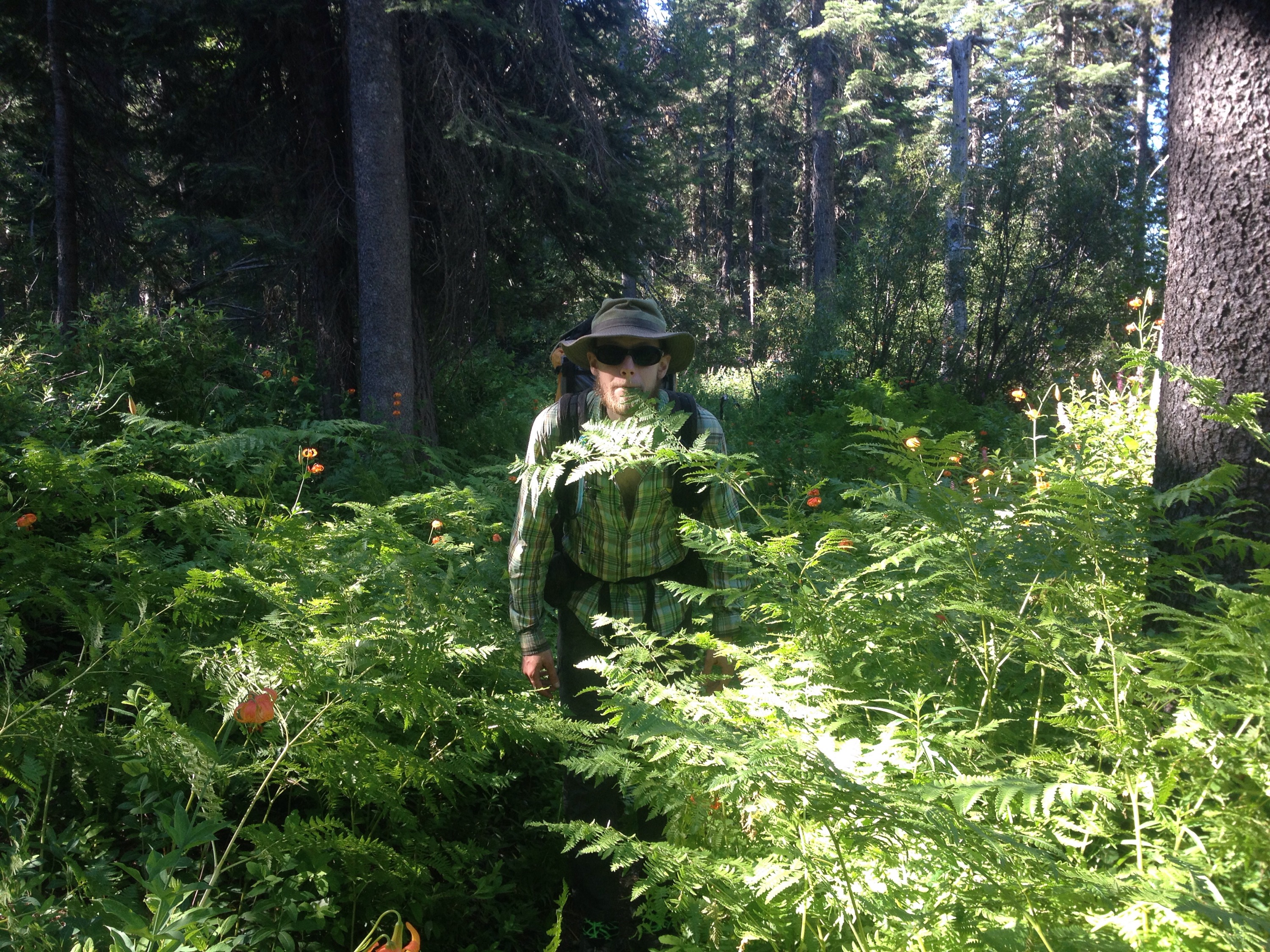
Richard in the wild.