PCT Rule: When you spend the night sleeping in snow, you get to spend the next day sitting in a hot tub

Miles: 426.9 to 448.1

Mileage: 21.2 (plus .4 to the KOA)

Day: 22

Let’s talk Poodle Dog Bush for a minute. With all the time I have to think, I have devoted much of it lately to what I would call the hype around PDB. 

In every guide book I’ve seen, there is a lot of talk about avoiding the dreaded PDB. Why? Because it itches, like a lot, if it touches you. What else? It can take up to two weeks for the blistering, itching breakout to heal. 

Ok. That sounds annoying. How do I avoid it? Just don’t touch it. Also, sometimes, it grows in the middle of the trail. 

So, no hints on how to avoid it? Wear long pants and sleeves. And gloves. 

Ok. Well, I only have one pair of long pants and sleeves. Do I have to avoid touching them if they might have touched PDB? No response. 

What do I do if I have touched it? Wash your skin. You mean with all the ample water I have in the desert? Ok. What if it touched my clothes? Soak them in a sodium bicarb solution overnight. Can’t I just wash them? No response. 

So, here’s another question. If PDB is all over the trail for 40 plus miles and most hikers will at some point not be paying attention and touch it, why don’t we all have it? Is it hard to get? No response. 

Here’s my conclusion: PDB would suck to get. But if you put some effort into not touching it, even if you’re not completely successful, you probably won’t get it. Like most contact dermatitis, it takes a couple of exposures to build up an immune response. You if are exposed once on your thru hike and you’ve never been before, you probably won’t get it. Wear long pants and sleeves to leave some room for when you’re not paying attention and keep hiking. 

Ok. Done with PDB.

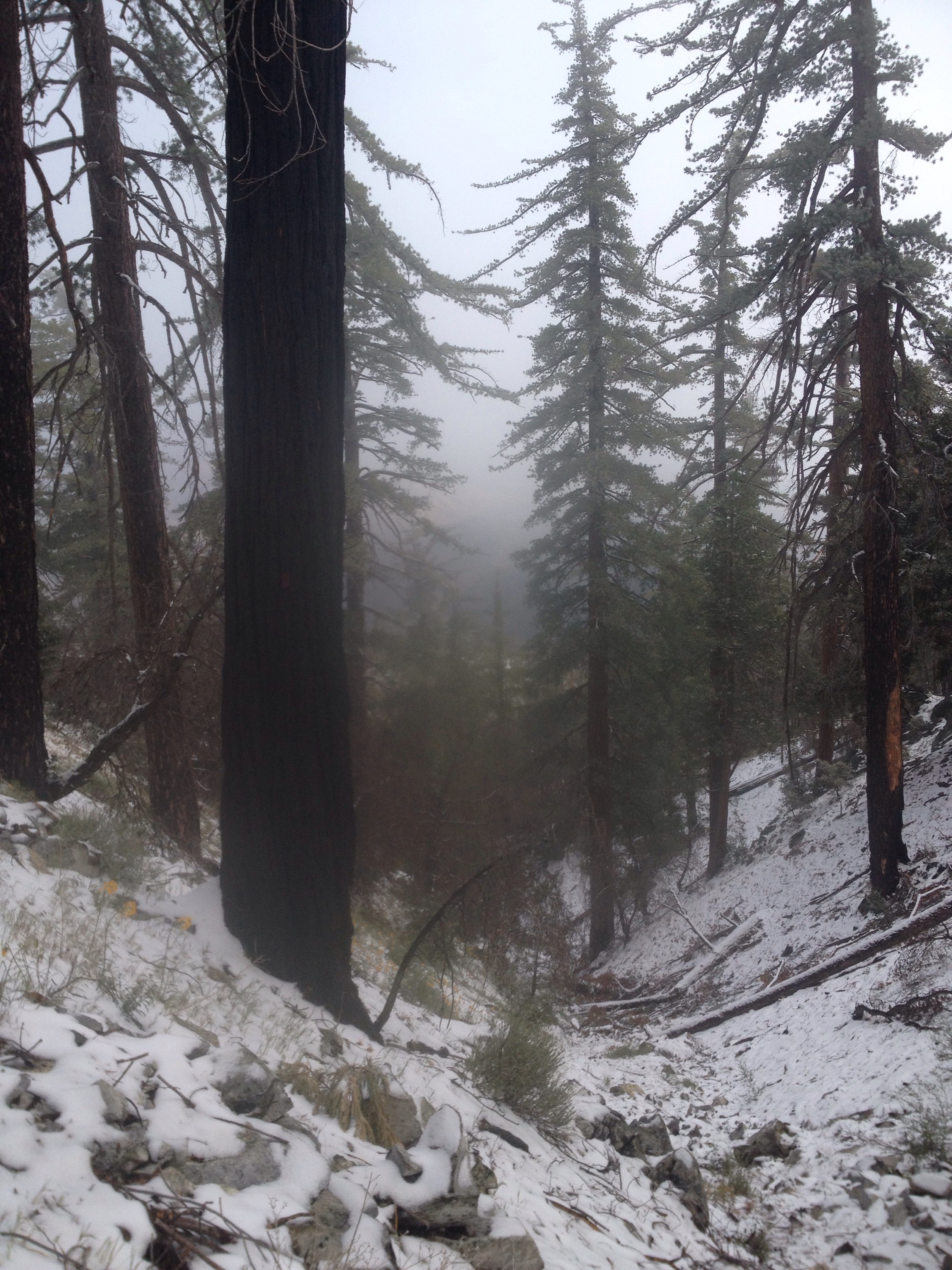
After reluctantly crawling out of our sleeping bags and packing up our stuff, we started to hike. It was a world and white and wet. My shoes were wet and cold within a mile. 

We slowly descended out of the snow and back to dry sand, and every mile seemed to take forever.

We make it 17 miles to the KOA campground just off the trail by 2:30 p.m. There, we showered, laundered, ordered pizza and generally chilled. 

The KOA people are amazing! They are helpful, accommodating, generous and kind. Erika was so great, in particular. There’s space to camp, relax under the trees, swim in the pool, get clean, cook, make free hot chocolate. I can’t say enough good things about this KOA. 
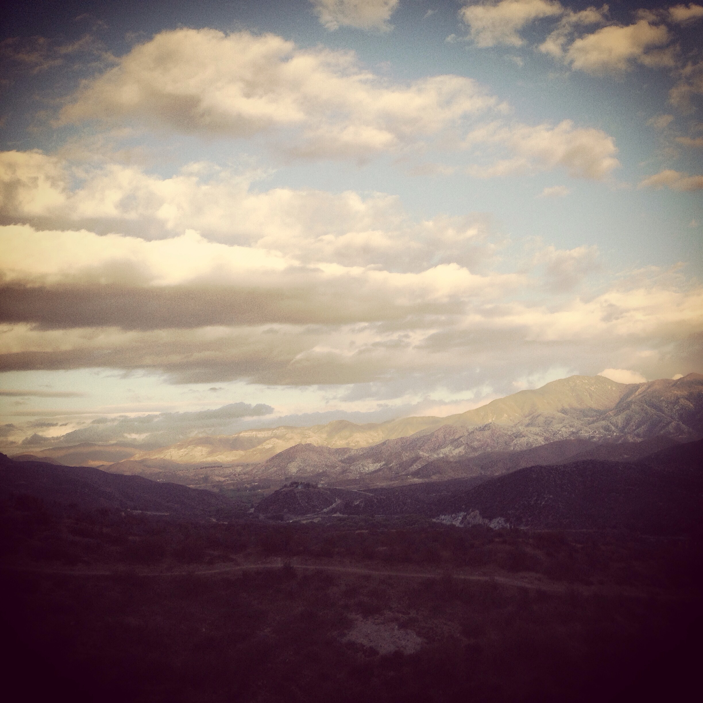
 

Desert sunset.
 
We headed out just before sunset to put in a couple more miles. We ended up in a shallow cave that usually provides shade during the day for hikers on the hot, dry stretch to Agua Dulce. 
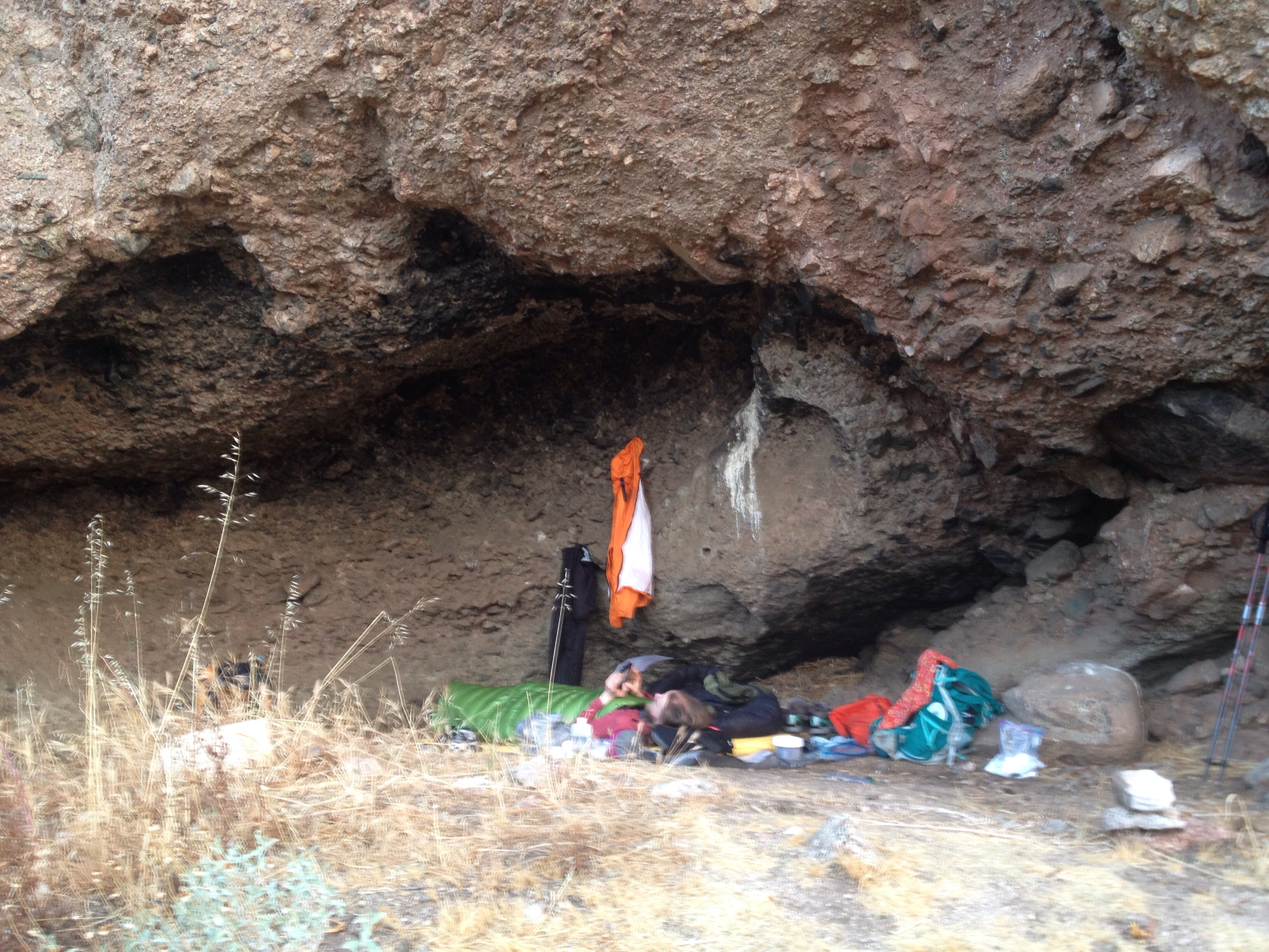
Cave dwellers.

When your tent falls down in a sleet storm in the desert

Miles: 400 to 426.9

Mileage: 26.9

Day: 21

It all started off so well. We got up and started hiking before 7 a.m. The night had been dry, so the tent and sleeping bags were in fine shape. My feet felt great. 

And then the winds started. 

The terrain was varied, without big climbs to take it all out of me. We were carrying enough water – but not too much – to get us to the two sources that day at miles 11 and 18. 

After the first water source we slowly started to climb out on an exposed ridge. The wind was fierce. It was cloudy and cold. We were in the thick of the poodle dog bush area so we had to fight the wind to keep from being pushed into it or it into us. 

As we descended the ridge, I hoped the wind would chill out. It did not. Getting water at mile 18 was frustrating. We had planned on stopping there to make dinner and avoid carrying the extra water needed for cooking. It was so windy we couldn’t stay still or risk getting too cold. The water source was Mill Creek Ranger Station. They house forest firefighters while waiting for the next blaze. One ranger came out to warn us that the rain predicted would probably be snow up where we were headed. 

Figures, I thought. 

We decided to hike to the next wind breaks and eat. We didn’t find that spot. We ended up hiking nonstop for the next three hours, first looking for a place to cook, then a place to tent. 

The Guthook app said there was a trail camp near mile 424. We were sad to learn that that camp no longer exists. I assume it was lost to the most recent fire. 

We opted not to take the poodle dog bush detour. It’s optional and it would have taken us along the windward side of the ridge. Plus, MOST of the trail had been brushed for poodle dog. A huge thanks to whichever trail crew handled that mess!

By 6:30 p.m., we just needed a place to crash. We found a semi-exposed spot near where the detour road and the trail almost meet. 

We got set up just as the sleet started. Rather than cook, we ate candy bars and other snacks. Richard fell asleep early. 

Not long after dark I felt something land on me. It wasn’t heavy or hard. I looked down at my sleeping bag. It was the tent. The stake on Richard’s side had popped out and let the pole collapse. 

Richard very reluctantly woke up and was nice enough to go deal with it. After that, we spent the rest of the night taking turns pushing the accumulated snow off the tent walls. 

Needless to say, our stuff was wet the next morning. 

It’s the desert. Can’t you tell?

400!

Miles: 374.8 to 400

Mileage: 25.2; plus an extra 1.1 from the road walk

Day: 20

Hiking Mt. Baden-Powell was the first order of the day. It was 40 switchbacks to the top. Most were gentle; some were fiercely steep. At the first drifts of snow, Richard and I paused briefly to throw snowballs at each other. 


Here’s an idea of the pitch going up Baden-Powell.
 
The layers we took off lower down after the morning chill gave way to the exertion of climbing were put back on. Despite very little wind and bright sunshine, it’s still chilly above 9,000 feet. 

We had the summit to ourselves. According to the register, a 2012 southbounder who has been sectioning the desert again this year was up there just before us. Her name is Tour Guide. She is very friendly and talkative. 

After enjoying the view and eating some snacks, we started the descent. Some hikers take the option of walking around Baden-Powell to avoid the steep ascent and descent. But walking the ridge down from the summit was a very cool section of trail and one I would have been sorry to miss. 

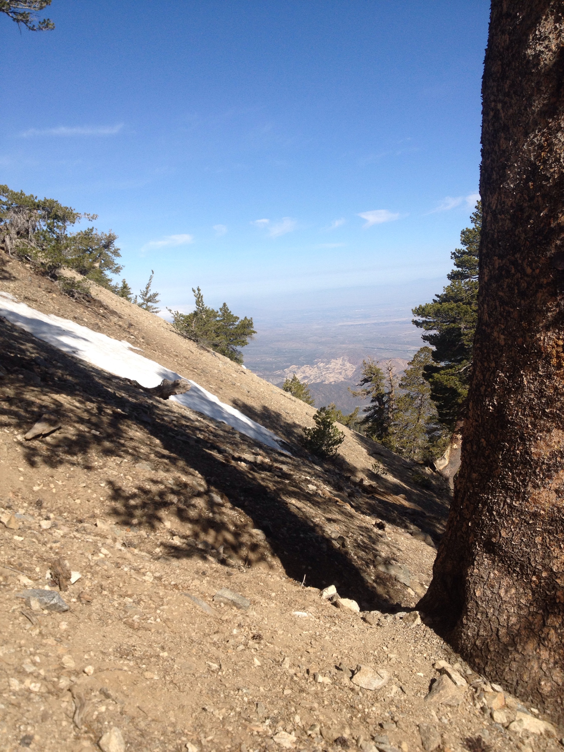
The sky was clear to the north, so we could see some of the Mojave Desert. To the south, Los Angeles was completely under clouds. 

We stopped briefly at Little Jimmy Spring and then headed down, down, down to Highway 2 again. We had one more climb before the Endangered Species detour. 

This time we went near the summit of Mt. Williamson but not over it. The ascent, fueled by cookies, went well. A layer of fog was flowing up the valley covering the highway, so hiking up and out of it was cool. 

Next came the roadwalk. The National Forest Service closed “until further notice” Cooper Canyon to protect the Mountain Yellow-legged frog. To avoid that section, PCT hikers must walk along Highway 2 for three or four miles, then rejoin the trail via the Burkhart Trail from the Buckhorn Campground. Three miles is a reasonable roadwalk, but nevertheless, my feet hated it. After just a mile or so they were burning. It was also weirdly cold, even in the sun. 

At the campground, Richard and I found a picnic table in the sun and out of the wind to take off our shoes and rest. 

Wanting to put in a few more miles that day, we pushed on until nearly dark. We waited until our GPS’s told us we were right at 400 and then found the nearest flat spot. 

So much climb

Miles: 351.8 to 374.8

Mileage: 23

Day: 19

The view was gone by the morning. Our sleeping bags were wet again and so was the tent. Fog was everywhere. Cold and wet to start the day. 

The weird part of it was, the higher we climbed the drier it got. We had ten miles of consistent climbing to start the day. Around 6,000 feet, dew covered everything. We got wet just walking past the brush and grass. 


All sun and shine.
 
Within an hour we stopped twice to de-layer. Once we got above the clouds it was all sunshine and barely any wind. 

We climbed above 8,000 feet before the rough, steep, very un-PCT descent to Highway 2; our road to Wrightwood, California and resupply. 

Most of the grades on the PCT are gentle, particularly from my perspective as a prodominantly East Coast hiker. In the east, you go straight up and directly down; no switchbacks, lots of sweating. Out west, the trails will go to sometimes extreme distances to contour hillsides and avoid grades steeper than 3 percent or so. 

So I found the way down to Highway 2 from Guffy Campground to be crazy steep. I’m talking 10 percent or more. My ankles were not happy. 

Nevertheless, we made good time and were parked, thumbs out, at Highway 2 by 2:30 p.m. We had three boxes to collect from the lovely people at Mountain Hardware, which closed at 5:30. 

Despite very light traffic, we got a hitch in about 20 minutes from a couple of day hikers headed back home. We were sorting through our boxes and sunning our sleeping bags by  3:15. 

The hitch back was just as simple. I am always surprised how nice, clean people with nice, clean cars let dirty hikers sit in them. But more importantly, I am so very grateful!

Back up at the pass, the temperature had dropped. We layered back up for the last five miles of the day. 

We passed our friend, Misery, about a mile in. He was camped and eating, but we decided to press on for a few more miles. Misery started the same morning as we did. We’ve been leapfrogging him the whole time. 

We decided to camp less than a half-mile up the climb to Mt. Baden-Powell. We would tackle the 9,300-foot summit in the morning. 

The best part about camping on Baden-Powell was that the ground under us was dirt! Not sand or gravel. Dirt!! I’m not planning on getting used to it. 

Happy Mother’s Day!

Happy Mother’s Day to Penny and Terry. 


The note says: Happy Mother’s Day Penny and Terry. It’s hard to read. Sorry.

Thanks to your love and support we are smelly, dirty, blistered, sunburned, sore, swollen and HAPPY hikers! 

Love,

Richard and Stephanie

Snakes and McDonald’s

Miles: 325.5 to 351.8

Mileage: 26.3

Day: 18


sunrise
 
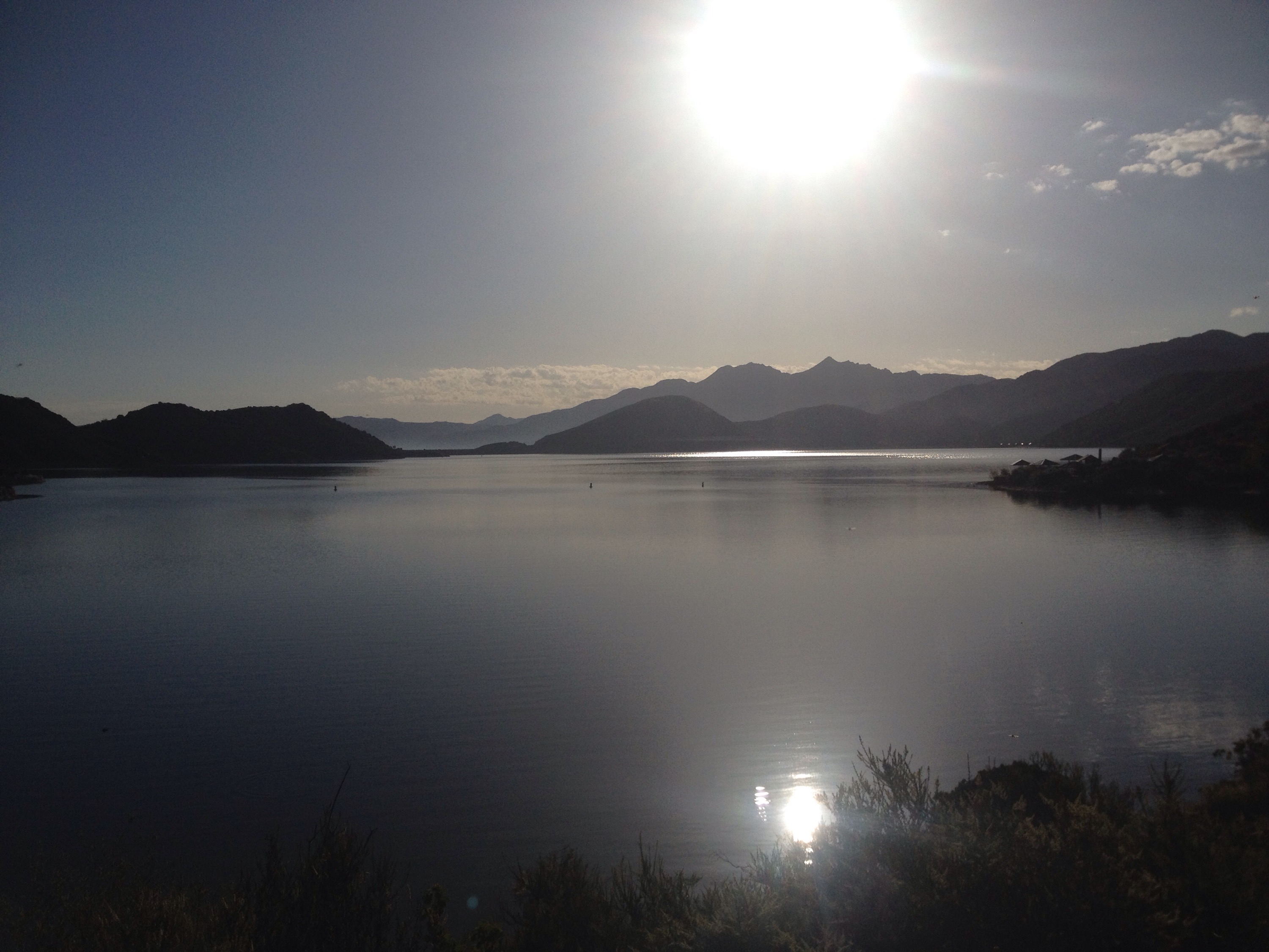
The sun hit us early on the lake shore. We woke to find dew on everything. Even though we woke up around 6 a.m., we didn’t start hiking until after 7 because we let our sleeping bags dry in the sun for a bit. 

Our first water source was a few miles into the day, but whatever we collected needed to last about 13 miles. And those 13 miles were hot. We climbed until we were in sight of Interstate 15 and then we dropped, fast. 

The wind forced me in whatever direction it willed and I just tried to keep my sunglasses from flying off my face.

The heat of the day made my feet ache and I found myself wishing I was sitting inside the McDonald’s. (Yes, Dad. You read that right). 

A McDonald’s at a rest stop on I-15 was the only water source in a 40-miles stretch. (See? It was coercion, Dad).

Throughout the morning we stopped for a few garter snakes to cross the trail. (We saw a very lethargic rattlesnake a couple of days before, but it wouldn’t even rattle at us. Lame.)

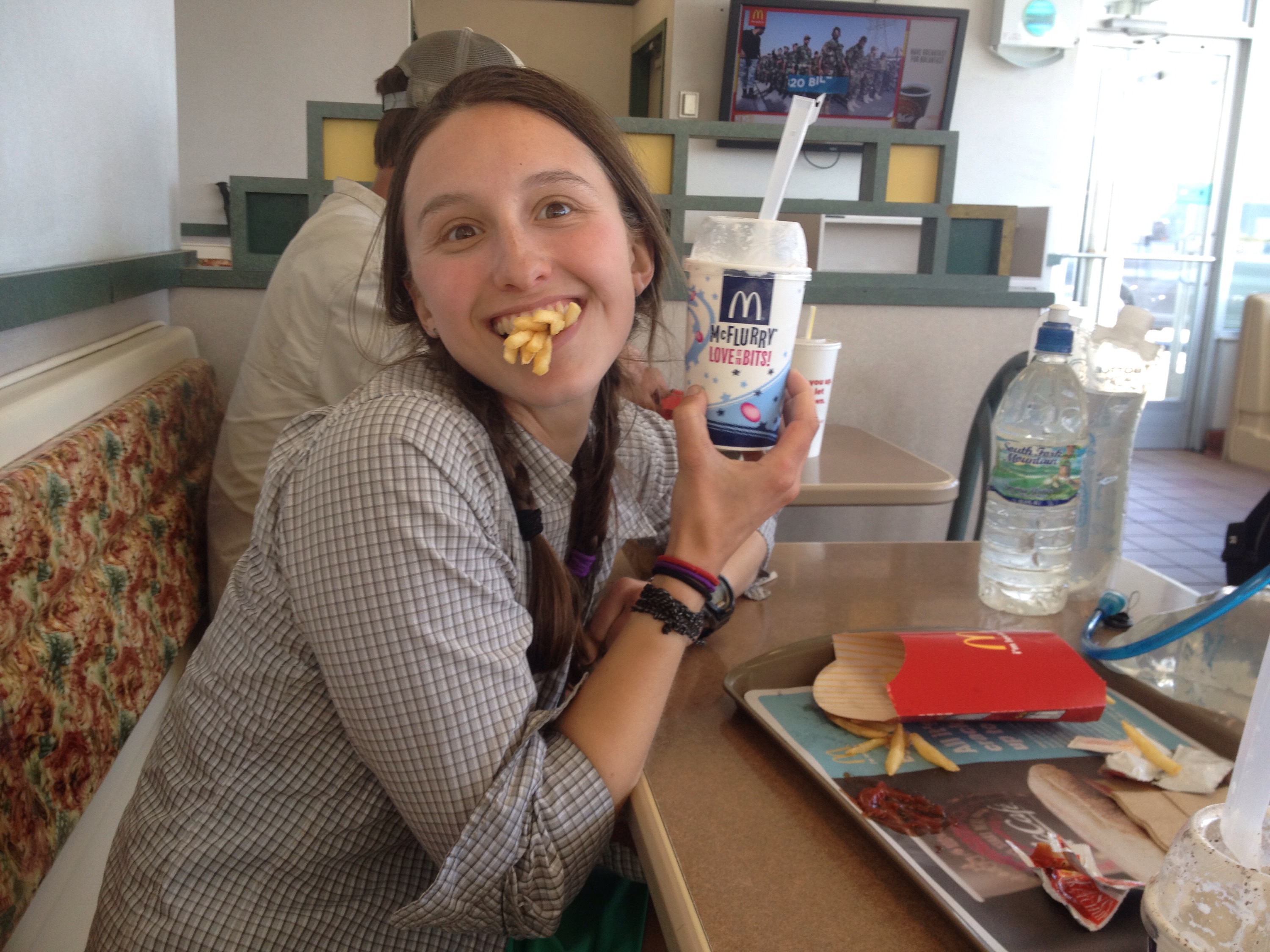
We got to the oasis McDonald’s around 1:45 p.m., ordered two McFlurries and two large fries and sat. Sitting feels so nice these days. 


They made me do it.
 
The joint was a mix of dirty hikers and clean Interstate folk. A group of hikers was getting a room or two at the Best Western nearby, but Richard and I wanted to push on. 

We knew a huge climb was in our future and wanted to get started on it.

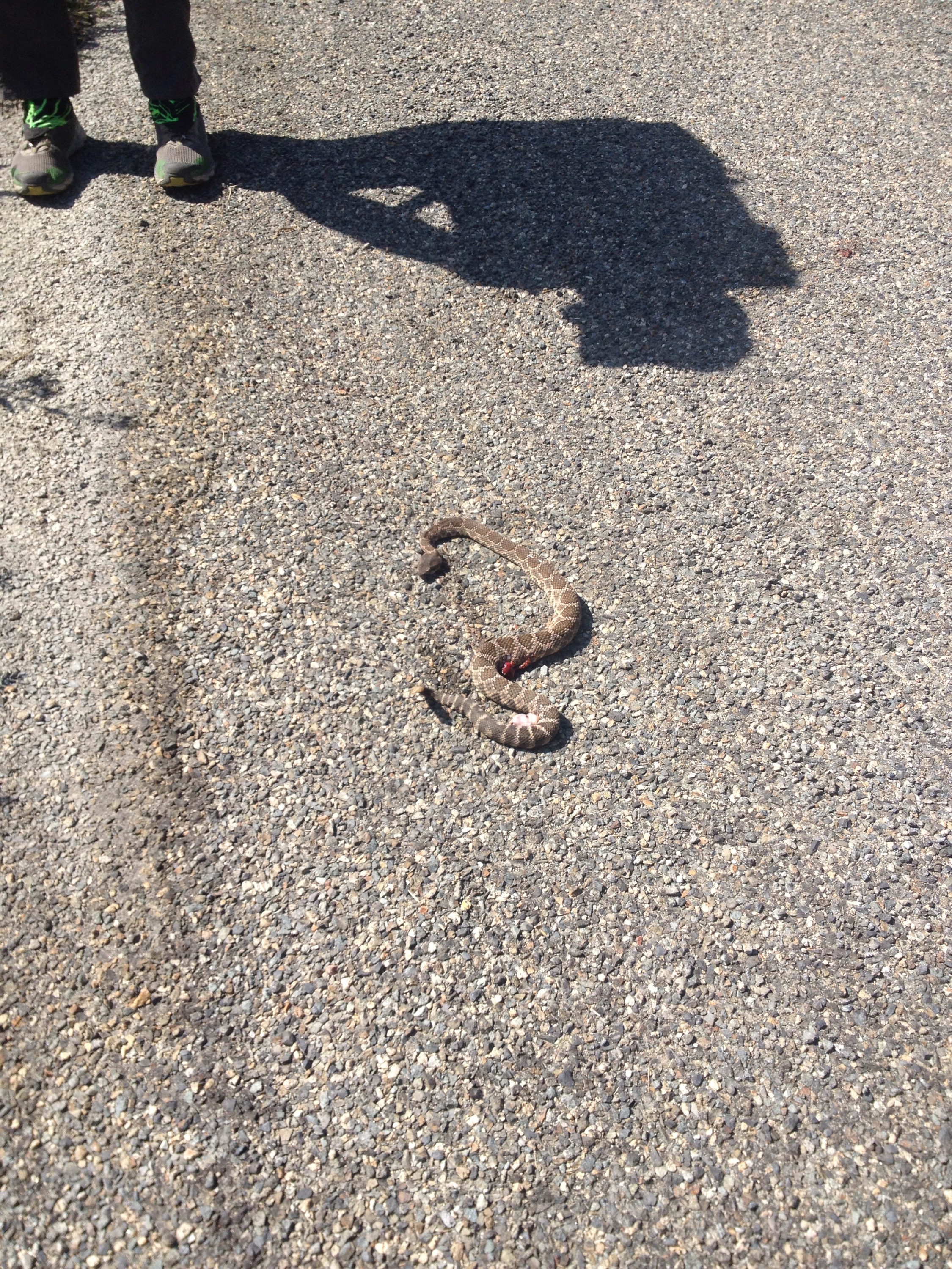
As we were walking the 0.4 miles back to the trail, we found a rattlesnake in poor condition. Someone had run it over in their car and it’s guts were coming out in a couple of places. It was still alive, but just barely. 


poor rattle snake.
 
It took over an hour of hiking to get out of the I-15 corridor. And the wind followed us the whole way. 

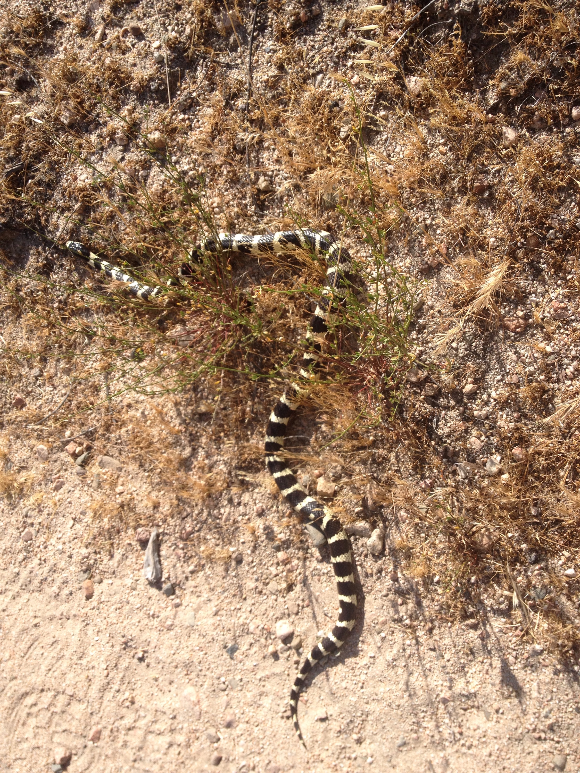
We stopped for another snake partway up. It was black and white striped and rattle its tail at us despite it not having a rattle. 


Daddy, what kind of snake is this?
 
By 6:30, we’d hit our mileage goal for the day, we just had to find a spot to pitch our tent partway up a steep climb. 

Two miles later, we found a flat spot about a fifth of a mile down a dirt road the PCT crossed. The vantage actually looked down on the Interstate. It was kind of pretty watching the red and white stripes of lights curve down the valley. 

Weekends in the wilderness

Miles: 298.7 to 325.5

Mileage: 26.8

Day: 17

Okay. So, not all of the PCT is in the designated “wilderness,” but whether we wander through National Forest, state land, Bureau of Land Management or whatever, it’s still easy to tell if it’s Monday through Friday or the weekend.

During the week, it’s rare to see anyone who isn’t dirty, smelly and lugging a backpack full of water bottles. We become our own class of people, instantly recognizable to each other. Skin that looks tan, but is really dirt. Wind blown hair. Slight limp. That’s a thruhiker. 

But on the weekends, our world opens up beyond the belongings on our backs and the brown stripe we follow without question. Outsiders appear in their cotton and day packs. They smell like laundry and have no dirt under their fingernails.

They have a carefree attitude that comes from knowing the wilderness for a few hours; filling their lungs with fresh air and stretching their legs. But they also know they will return to their cars, wash the woods off in the shower and sleep between clean sheets.

On Sunday, we shared Deep Creek Canyon with so many day hikers. They asked us questions about where our car was parked and where the PCT joined with the trail we were sharing (hint: it was the PCT).

We answered their questions as patiently as we could and passed them by. 

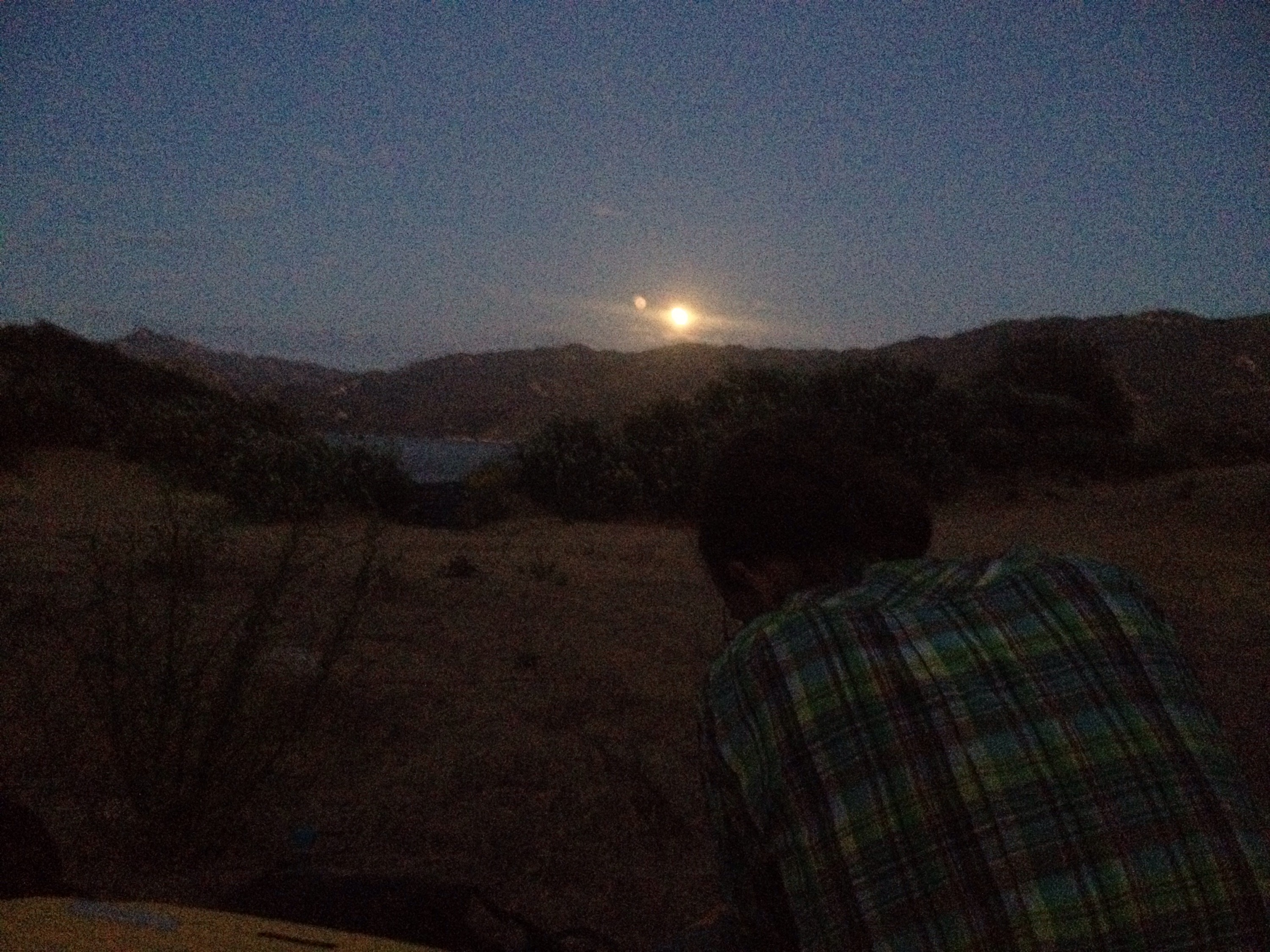
That night we slept by a lake and watched the moon rise over dinner. 

Moonrise dinner.

New shoes plus no virus equals off and running

Miles: 275.1 to 298.7

Mileage: 23.6; plus, 2.8 miles from the bottom of Van Dusen Canyon Road to the PCT

Day: 16

After we peeled ourselves away from the cotton and comfort of our hotel (which took a couple of hours), we headed up Van Dusen Canyon Road and back to the trail. 

The grade going up the road wasn’t challenging, but we were overloaded with food, so packs were heavy. I carried out the leftover Indian food and Richard had enough snacks to feed him for days past our next food drop. 

I was nervous about my new shoes. Would the potential unknown evils be worse than the known evils of my Cascadias? A few miles in and I was feeling okay. Only my weird between-the-toe blisters seemed to care that I was walking. 

At the trail we stopped to put on sunscreen and then the real miles of the day began. It was already 9:45 a.m.


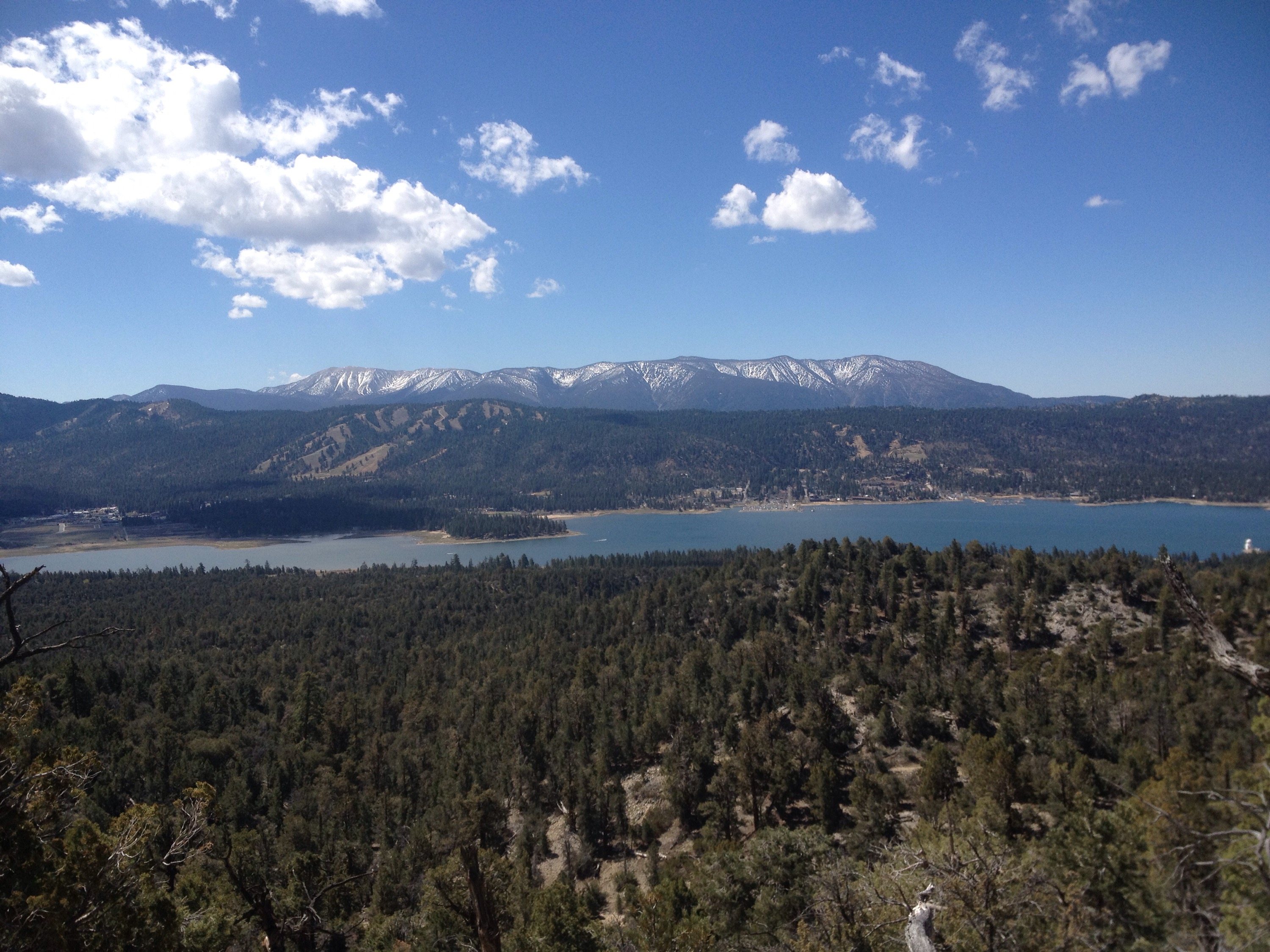
Big Bear, the town we just left.
 
Not that there was anything to worry about, I soon learned, for Richard was back to his old pre-virus self. He took off down the trail and set a wicked pace for the morning. After an hour or so, I told him that I couldn’t maintain his pace for much longer and he slowed… a little. 

The day was great, weather-wise. Blue skies; steady, cool breeze; hot, but not too hot. We made good time pretty much all day. 

After the first ten miles, water became less of an issue. We were crossing substantial creeks (for Southern California) every few miles or so. 


Desert cruising.
 
The major annoyance for me was the black flies that buzzed around my head all afternoon. We’ve been really lucky so far with bugs. Very few mosquitoes, flies or bees. I only remember seeing black flies one other time so far. But I won’t soon forget the flies that tried to commit suicide by way of being swallowed, aspirated or stuck in my eye repeatedly. 

We got to camp around 6 p.m. Richard made dinner as I set up the tent. We had spent the afternoon meeting talking to the two most loquacious hikers I have ever met. Therefore, I was exhausted from the chit-chat and ready for the solitude of just Richard, dinner and my sleeping bag. 

And for a quick shoe update: after over 26 miles of trail on my new shoes, my feet are sore, sure, but not like they were after only 10 miles in my old shoes. So far, so good. 

ZERO in Big Bear

Miles: none

Mileage: 0

Day: 15

To celebrate our first two weeks on the trail, we gave ourselves a day away from it. 

We slept in, ate a huge breakfast, lounged in a hot tub and did chores. Hiker chores include: laundry, body hair removal, wash pot and spoons, rinse gaitors, buy replacement gear (like new shoes), plan the next stretch of trail, eat ice cream and download more podcasts. 

Or, at least, that’s what my chore list looks like. 

The day was sunny and the forward-looking weather calls for mostly sun. 

When we get back on the trail we’ll be upping our miles from 20 a day to 25 a day. In the last two weeks we’ve put in two 25-mile days, so hopefully it won’t be too big a shock to the system. 

In the afternoon, we got food from a Himalayan restaurant. The spinach and potato entree was awesome. I have a little leftover and I’m thinking about going to the hotel’s cafe and ordering some French fries to dip in it. 

In media news: 

We’ve been spotted on the trail and online!

Here’s a video taken by PCTA employee and former PCT hiker, Found, at the southern terminus (look at the second post on the list):

http://www.pcta.org/2015/fourteen-photos-from-the-start-of-the-pacific-crest-trail-this-year-29358/

And here’s a photo taken by a Town Crier employee right before we hiked out of Idyllwild:

http://idyllwildtowncrier.com/2015/04/28/pct-hiker-bypass-creates-safer-route/

Walking for a zero

Miles: 256.6 to 275.1

Mileage: 18.5

Day: 14

The early morning air was cold. I spent the first part of the night tossing and turning because my aching feet kept me awake. I took some ibuprofen, my first medication on the trail, and was able to sleep. 

We packed up slowly because we stopped to collect water before leaving camp. The water was frigid and our hands had to be shoved in our armpits before we could finish packing and start moving. 

It was ten miles to the first road crossing where could have managed a hitch into town, but we decided to put in nine more miles and get a ride from a very generous trail angel from a less popular road called Van Dusen Canyon Road. 

The first part of the day went quickly enough although I was in a funk. I attribute it to the looming pain I knew would eventually reappear in my feet. With every step I was scared the pain would show. And my mood was fragile because of it. Poor Richard. 

It warmed up quickly once we got moving, and the terrain was fairly calm. We made good time as long as the trail followed contour lines around the hills. 

We stopped to put on sunscreen and call a couple hotels in town in preparation for our zero day. A zero day is a day on trail when no forward miles are covered. 

Earlier in the week, when Richard’s virus was still keeping him up at night, we decided to put in a few more miles each day and take a whole day off in Big Bear. Our original plan was to hike a few miles the day we headed down to town; also called a nearo. 

After making arrangements for a hotel and a ride into town, we headed up the trail for the last nine miles of the day. These were hot miles and they felt steeper for it. We only climbed for three or four miles, but once we were at the top, my feet were screaming again. That made the downhill to our pick-up location seem endless. Richard was also in pain because of his blisters. 


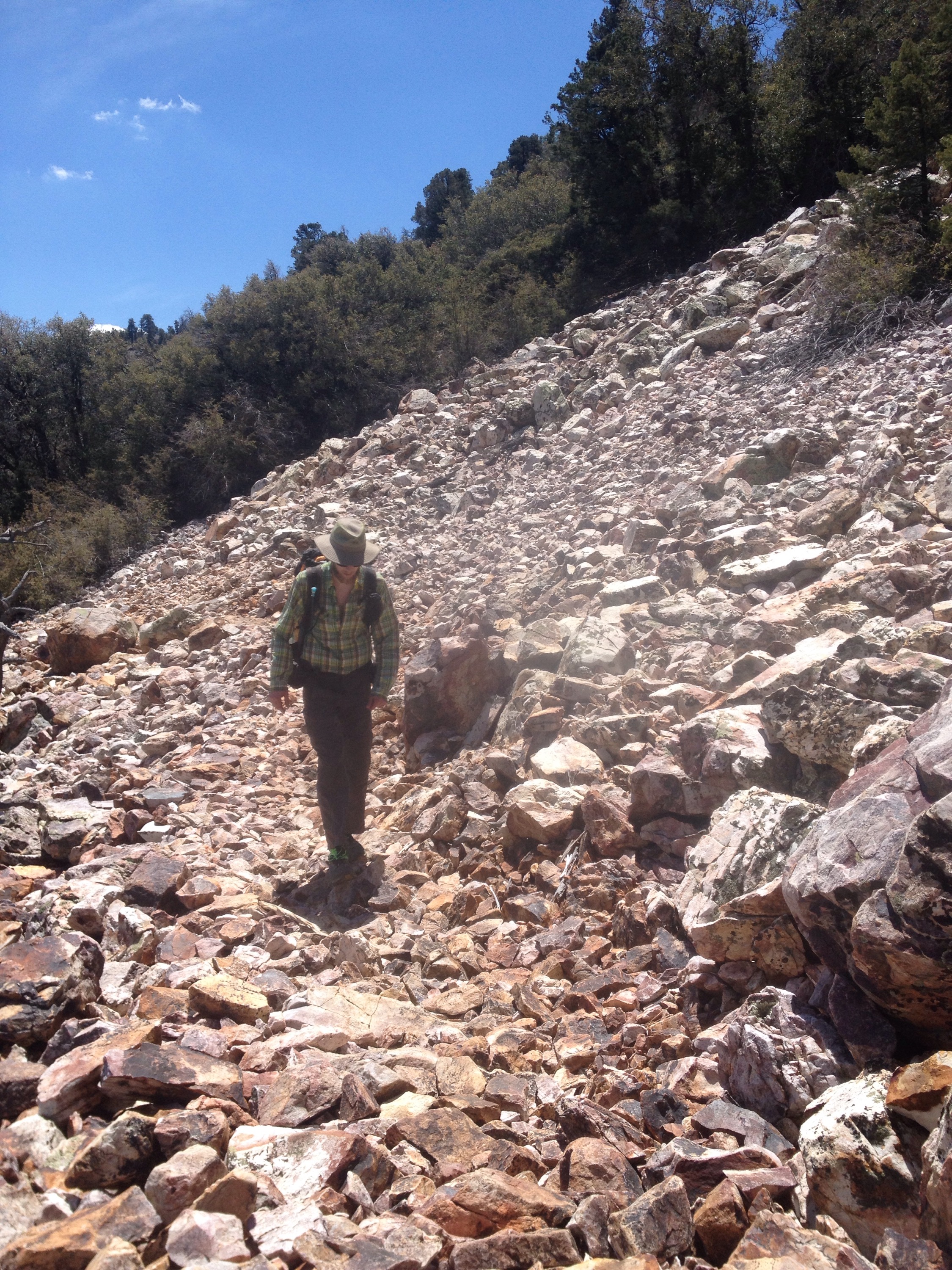
Richard crossing a scree field.
 
We finally made it to the road. We sat in the shade, ate snacks and waited for our ride from trail angel, Papa Smurf.

We were checked into the hotel, showered and walking to dinner at a nearby Mexican restaurant by 6:30. We stuffed ourselves with nachos, burritoes, tacos and enchiladas. It was delicious! I even got a 20-ounce glass of milk! 

Soon after eating, we were asleep.

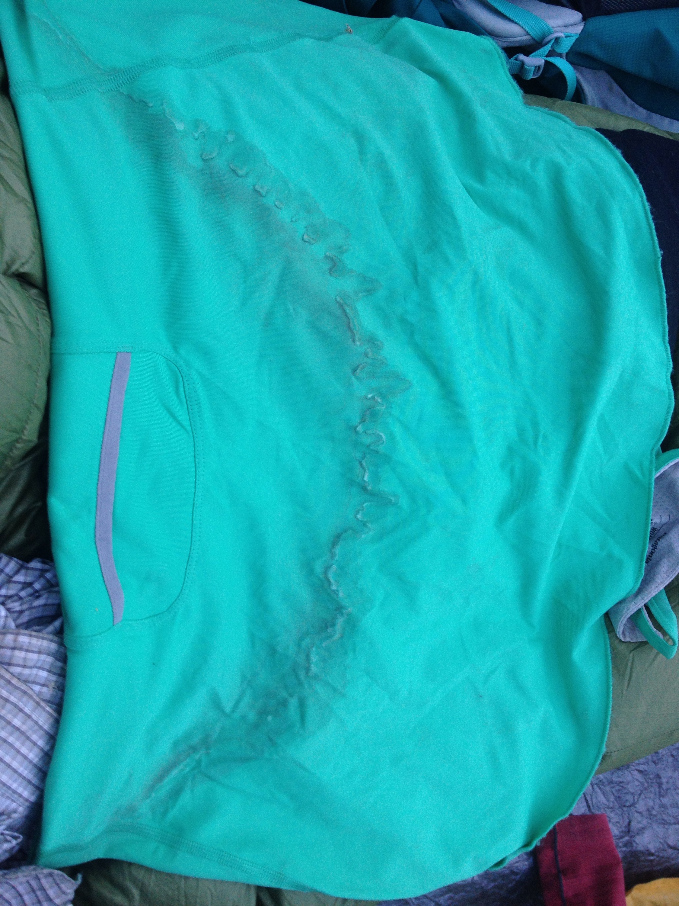
This is the back of my hiking dress right below where my pack sits. I worked hard for that sweat stain.