To Truckee

Miles: 1075.3 to 1078.7

Mileage: 3.4

Day: 62

To reward ourselves for the 32-mile day, we turned off our alarms. Not that we slept late or anything. The sun hit the tent early and we were baking by 7 a.m. 

We got up and were about to leave just as a fellow hiker walked past after retrieving his bear hang. His girlfriend sprained her ankle the night before, he said. Did either of us have medical training who could look at it and give her advice.

“Actually, yes,” I said.

He led us to her and Richard gave her ankle a look. She’d wrapped it and slept with it elevated. Richard told her to monitor it for pain. There didn’t appear to be a break and if it started to feel better in a couple of days, she’d be fine.

He also gave her a worst case scenario so she would know what symptoms would require her to get off the trail.

Then we hiked on to the road.
 

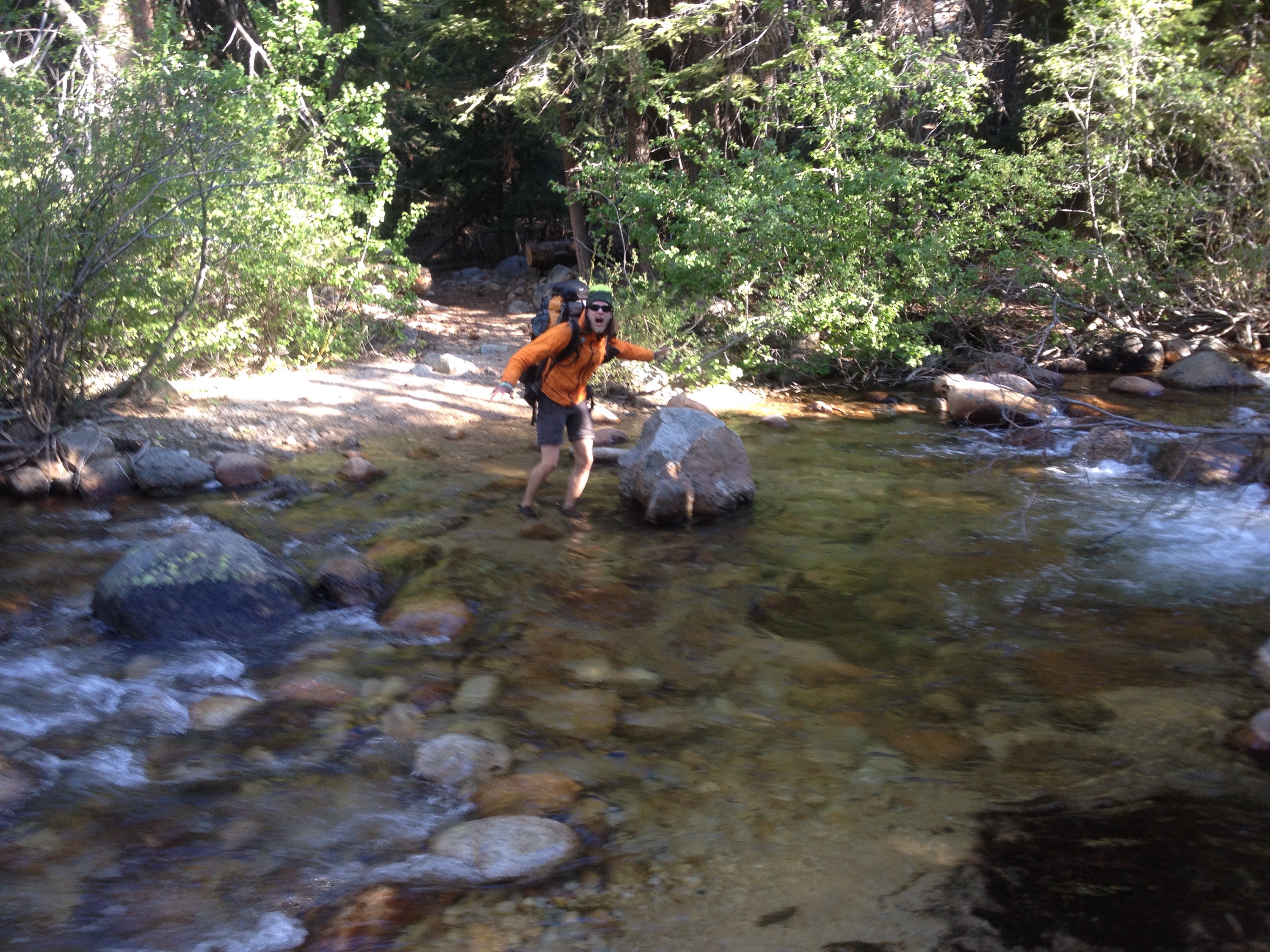
Richard celebrates being close to town.
 
We didn’t have to spend too much time trying to get a ride. A former PCT thruhiker and her dad were at a picnic table. She was hiking the Tahoe Rim Trail and the John Muir Trail. Her dad brought her supplies. 

He agreed to take us to South Lake Tahoe, which turned into Truckee once he realized that’s where we ultimately needed to go.

He dropped us off at the hardware store and we started to run errands: fuel canister, eat, new phone battery, eat, bookstore, grocery store, hotel, shower, hot tub, laundry, eat.

We fell asleep full and clean.
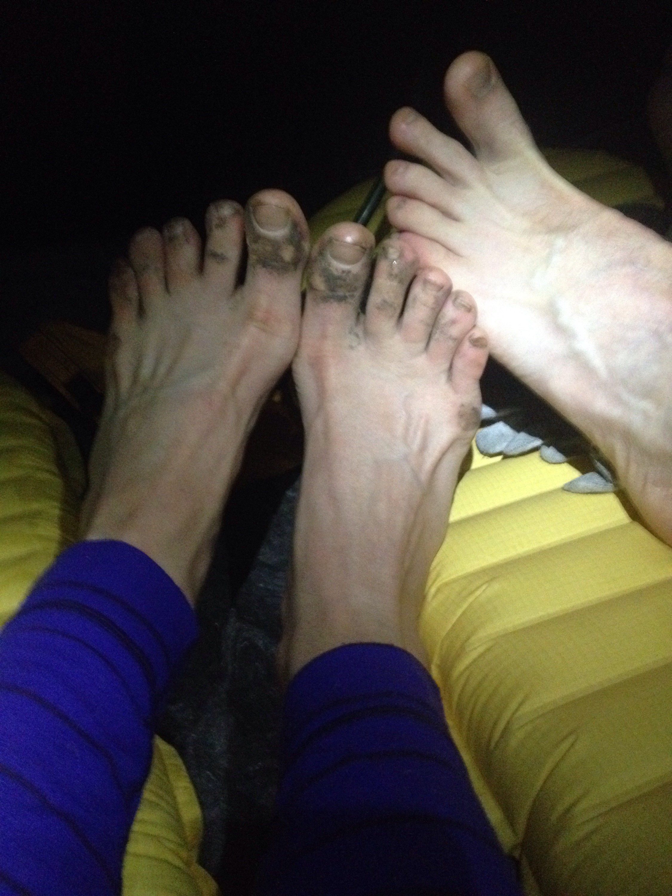
I’ve had a request for foot photos. Here is our feet after a typical day. Mine are dirtier than Richard’s because he’s been wearing Goretex shoes which keep out more dirt.

New longest-day record

Miles: 1043.2 to 1075.3

Mileage: 32.1

Day: 61

Sure, 32 miles was suggested but I guess I never thought we’d bother. I figured we’d get to somewhere between 25 and 30, which would put us within 10 miles of the road that would allow us to hitch to South Lake Tahoe, and find a pretty little campsite and stop. 

That’s not what happened.

Most of the time, the app we use to navigate and glean information about the trail lists far fewer tentsites than actually exist out here. On the Appalachian Trail, random tentsites are pretty rare because most people congregate around the shelters. Since there aren’t shelters on the PCT, people tend to stop where they are and make a tentsite out of the first flat spot they find. We’ve done that, although we try to find already used spots to lower the impact. 

So, I figured we’d stumble across a nice spot not listed on the app and settle in. This time, however, the app was accurate. After we passed a couple of sites above treeline — my least favorite area to camp — there was nothing flat or durable until we’d walked the full 32 miles.

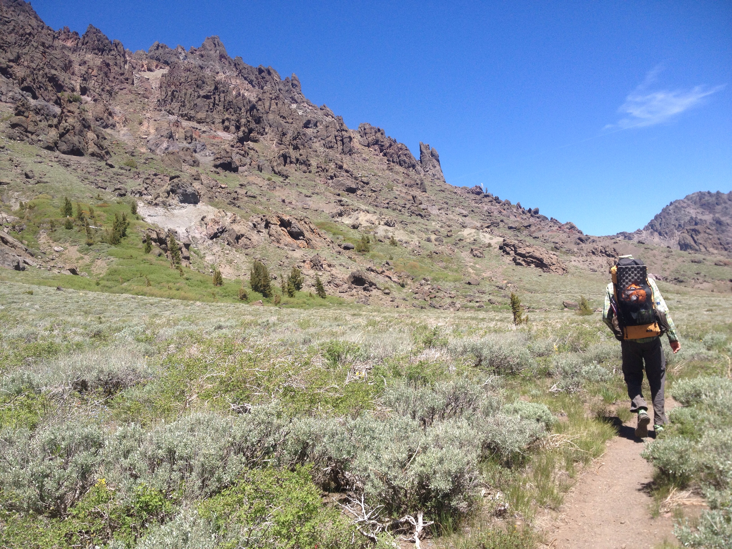
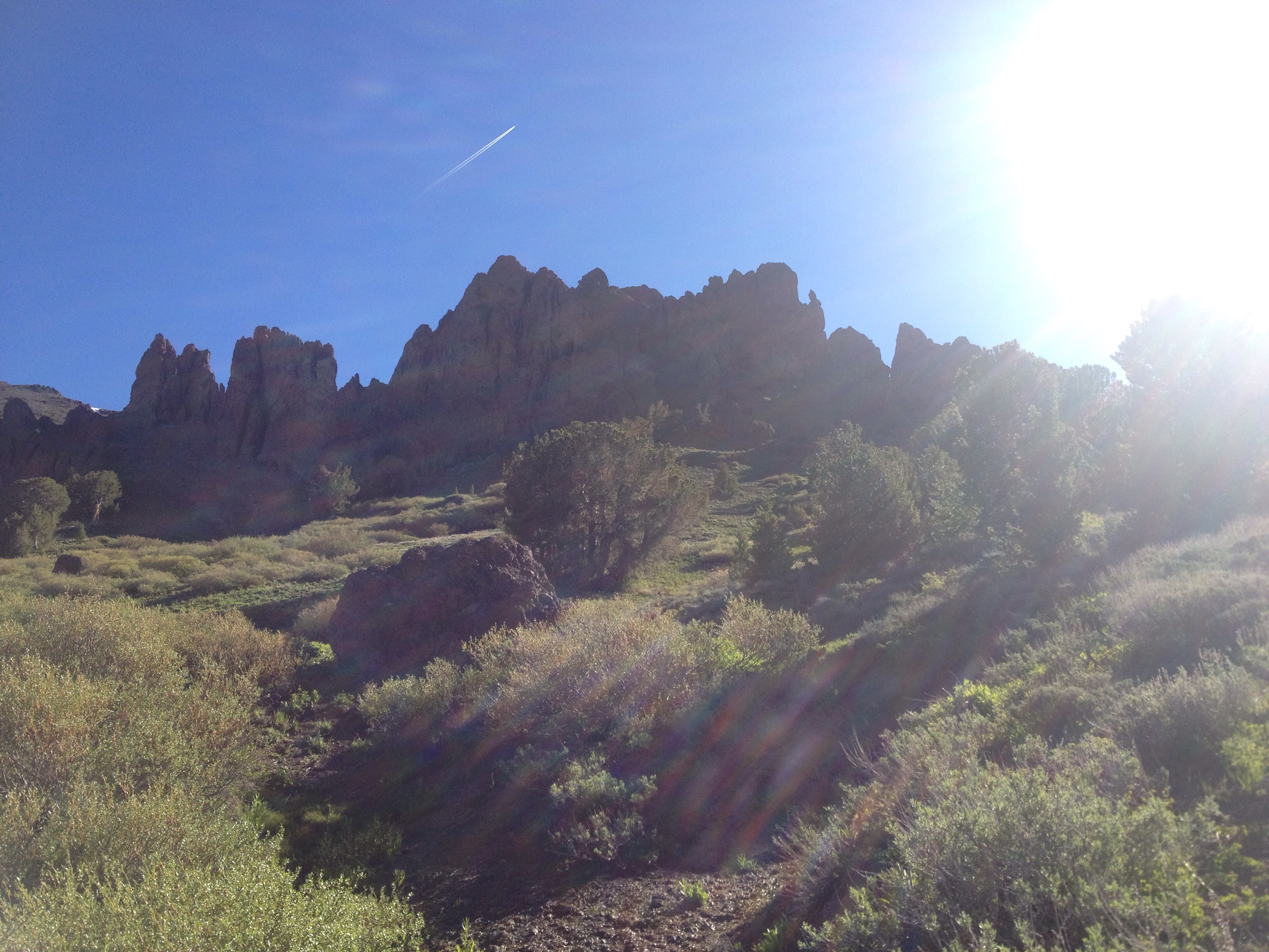
For the first 25 miles, I really enjoyed the day. It was a lot of small ups and downs but nothing terribly exhausting. At this point, my pack is light of food. The trail took us past red cliffs where each layer of sediment looked a different shade.


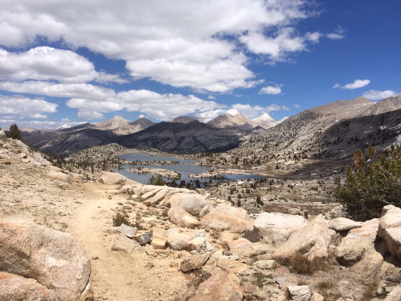
Pretty rocks on a lovely day.
 
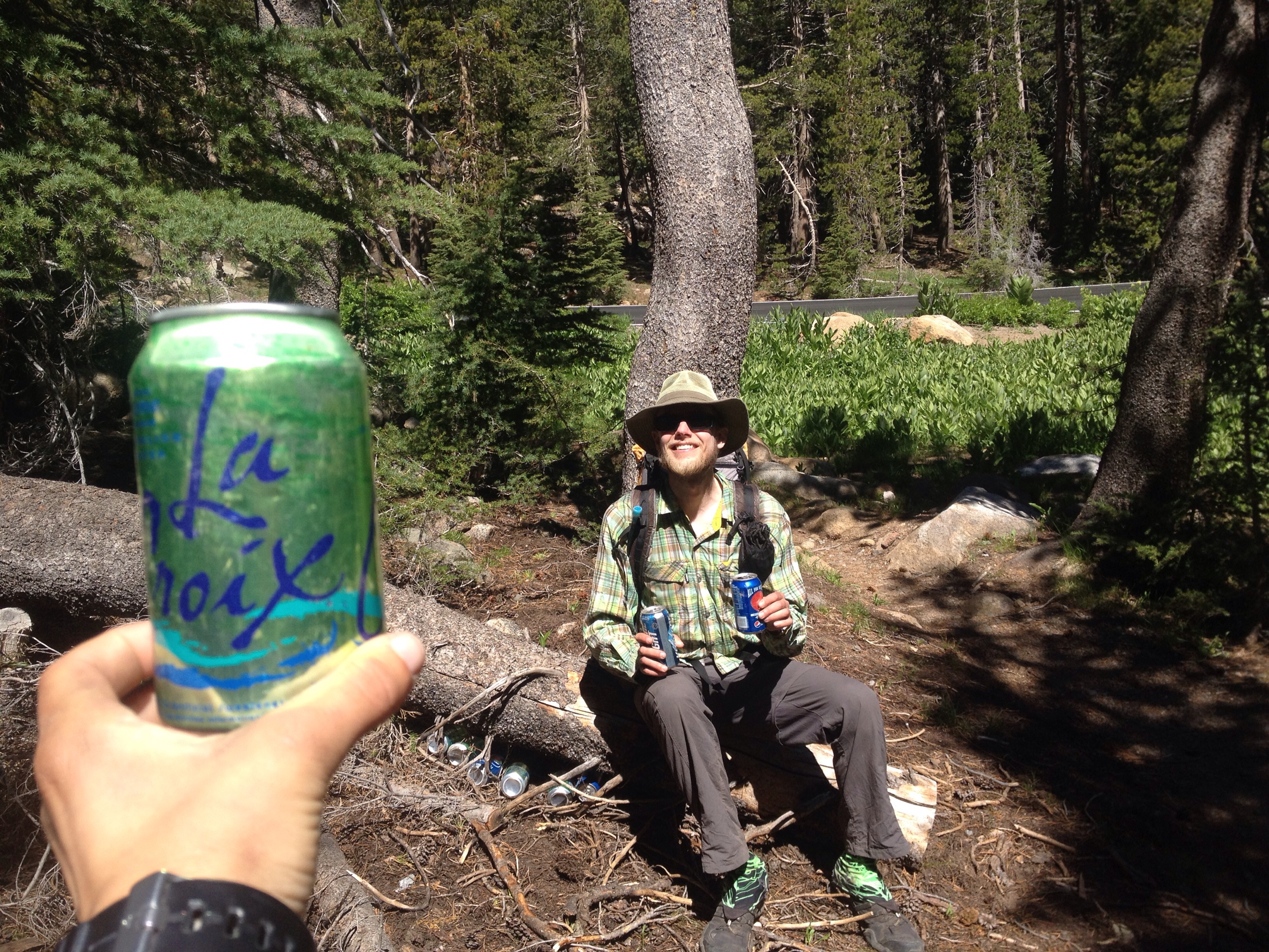
We got two encounters with trail magic. First, was cans of soda someone had stashed under a fallen log. The second was from “Meadow Mary,” a local massage therapist who left a cooler of cookies and fruit. Both were placed just before and after highway 4. It was great.


Free drinks!
  
Arbitrage is the economic concept of free money. On the trail, I consider arbitrage free calories. Calories you didn’t have to buy or carry any distance. 

Yay for trail arbitrage!

The last of the altitude

Miles: 1017.7 to 1043.2

Mileage: 25.5

Day: 60

The sun hit our tent early and the heat woke me up. Richard soon followed and we packed up. The air outside the tent wasn’t quite as warm as inside, but we got moving quickly enough.

Just 100 feet further down the trail, we saw what would have been a lovely campsite, if we had bothered to walk the extra minute. Figures.


We hiked up and behind this rock.
 
We crossed the road at Sonora Pass and started uphill. The trail gradually took us up to 10,500 feet for the last time on the PCT. 

The south side of the ridge was dry. On the north side, however, we spent a while trying to find the trail under all the snow. We eventually made our way low enough that snow wasn’t an issue and continued north.

The trail for the last couple of days has been confusing for me. I am used to keeping myself oriented directionally. I can usually tell which way is north regardless of where I am (woods, city, etc.) but the trail around Sonora Pass has stumped me multiple times. We’ve been hiking near treeline, so sometimes there’s a view and sometimes not. When we above the trees, I look around and think I have myself ordered. Then we duck into the woods for a mile or two, contour a ridge for a while, flip over the top of it and come back around again. Or at least, it feels like we’re hiking in circles, even though we’re headed predominantly north. I hope.

We took a break next to a seasonal stream. Thanks to all the snowmelt, we have not wanted for water for a couple hundred miles. It’s so nice to pass so many sources of water and to sleep next to water without leaving the trail. I’ll miss this in the drier sections of Northern California.

The sun was bright and warm all day. No clouds to speak of. That probably means we have a storm due us, but better to enjoy the sun now.

We got to our intended campsite around 6:30 p.m. It was a huge improvement, time-wise, from the night before. But I had to promise Richard we’d attempt another 30-mile day the next day to get him to stop before 7 p.m. One of his weird hiker quirks is no camping until after 7 p.m. I get it. He wants to make the most of the day. (My weird hiker quirk is no eating or arguing on the uphills. I can’t breathe and swallow or breathe and make my point while climbing.) But sometimes you have to break your own rules.


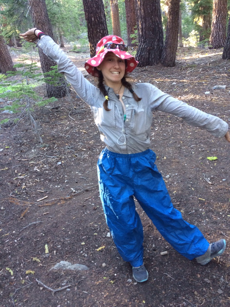
The mosquitoes were trying to eat my legs at dinner. Here’s what I wear to stop them.
 
I set up the tent while Richard made a fire and dinner. We were in the tent by 9 p.m.

Leaving Yosemite

Miles: 987.3 to 1017.7

Mileage: 30.4

Day: 59

When we woke up, mosquitoes were already surrounding our tent. We made a mad dash for the deet but even then the swarm wouldn’t leave.

Under another blue, sunny day we started off with a ford. After that, the trail slowly went up 1,500 feet to Dorothy Lake Pass. To get to the pass we walked around multiple meadows, all teeming with mosquitoes and overflowing with snow melt.

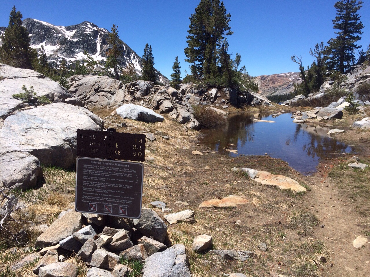
At the pass was the Yosemite National Park border. The trail was appropriately flooded.


The trail as we left Yosemite
 
And then, almost like magic, the mosquitoes were gone. Sure, there were a few floating past, but they went by without the keen aggression and homing instinct of the Yosemite breeds.

Around 4 p.m. we came to a point in the trail where we had to make a decision. Do we stop for the day at 20 miles or do we put in another ten? Between the two points there would be no where to camp or get water. But to hike another ten miles would mean hiking until at least 8:30 p.m. 

We decided to go for it. 


Up, up, up the ridge.
 
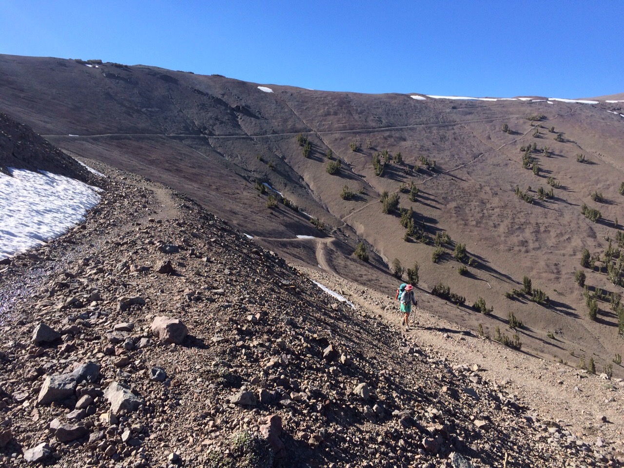
Starting up the ridge, we quickly hit tree line and the wind picked up. The trail turned from dirt to gravel and it would slip out from under your feet at the right incline.

Also, the trail flip flopped over the ridge line multiple times, but somehow the wind figured out how to flip with us. We never seemed to get away from it.

The northern slope of the ridge was snow covered and by the time we hit it, it was hardened. Sometimes it was ice. It made traveling slow and slippery. 

After careful hiking we made it down in the last moments of light. 

Richard made dinner and I set up the tent on a less-than-ideal spot. We slept so well.

The real 1,000 mile marker.

Fords, mosquitoes and sunshine

Miles: 963.3 to 987.3

Mileage: 24

Day: 58

We slept in a valley, so the warmth of the sun didn’t make its presence known until we’d walked about a mile. As soon as I stepped into the direct sunlight, I was hot. Too hot. I stripped off my rain/wind layer, unbuttoned my sun shirt, took off my ear cover and removed my tights. 

We spent the morning climbing and descending Benson Pass. The trails in northern Yosemite are old. On hill sides, they are crumbly and eroded from water and snow melt. Around flat meadows, they are water logged. Most meadows have three or four ruts made by hikers who’ve tried to avoid the water over the years. 


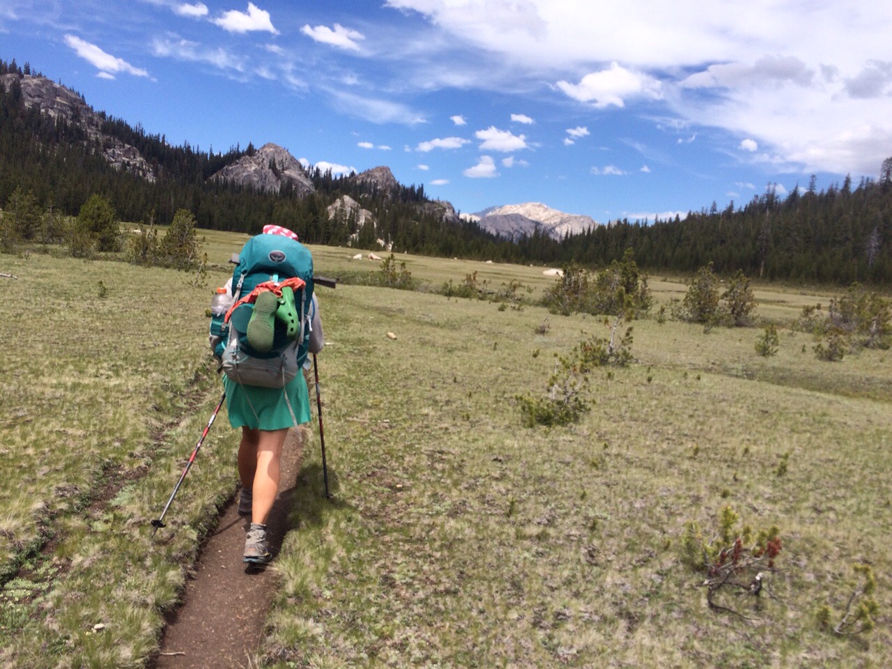
walking in a valley meadow. Sometimes the trail is three or four ruts made by hundreds of hikers.
 
That said, it can make the hiking a slow process sometimes because you really have to watch your step. Or land in a seasonal trail pond.

Overall, the terrain today was more short but steep ups and downs. The weather has held out. We’ve had warm temperatures and full sun. It’s almost hot like it was in the desert. But the scenery here is much nicer. Granite cliffs, deep blue ponds, towering sequoia. 


Overlook snack.
  
For lunch, we stopped partway up the climb to Seavey Pass. We found a little bit of shade next to a small seasonal stream. 

After lunch, I put in my headphones and spent the afternoon with Rachel Maddow and Democracy Now! podcasts. After 1000 miles on trail, I am completely bored with the 10 conversations on constant rotation in my head. What’s for dinner? Will it rain? When will we be done hiking today? When will we finish the trail? What will I eat the next time we’re in town? Turns out, I need new input after 2 months in the woods. My body has been given precedence since it’s doing all the work. But now my brain needs some attention.

Even listening to weeks-old podcasts provides me with enough new information to get through 20 miles of trail while I stew over it in the coming days.

We decided to go up and over one more climb before stopping for the day. It would put our end time past 8, which I don’t prefer. But we have to make the miles.


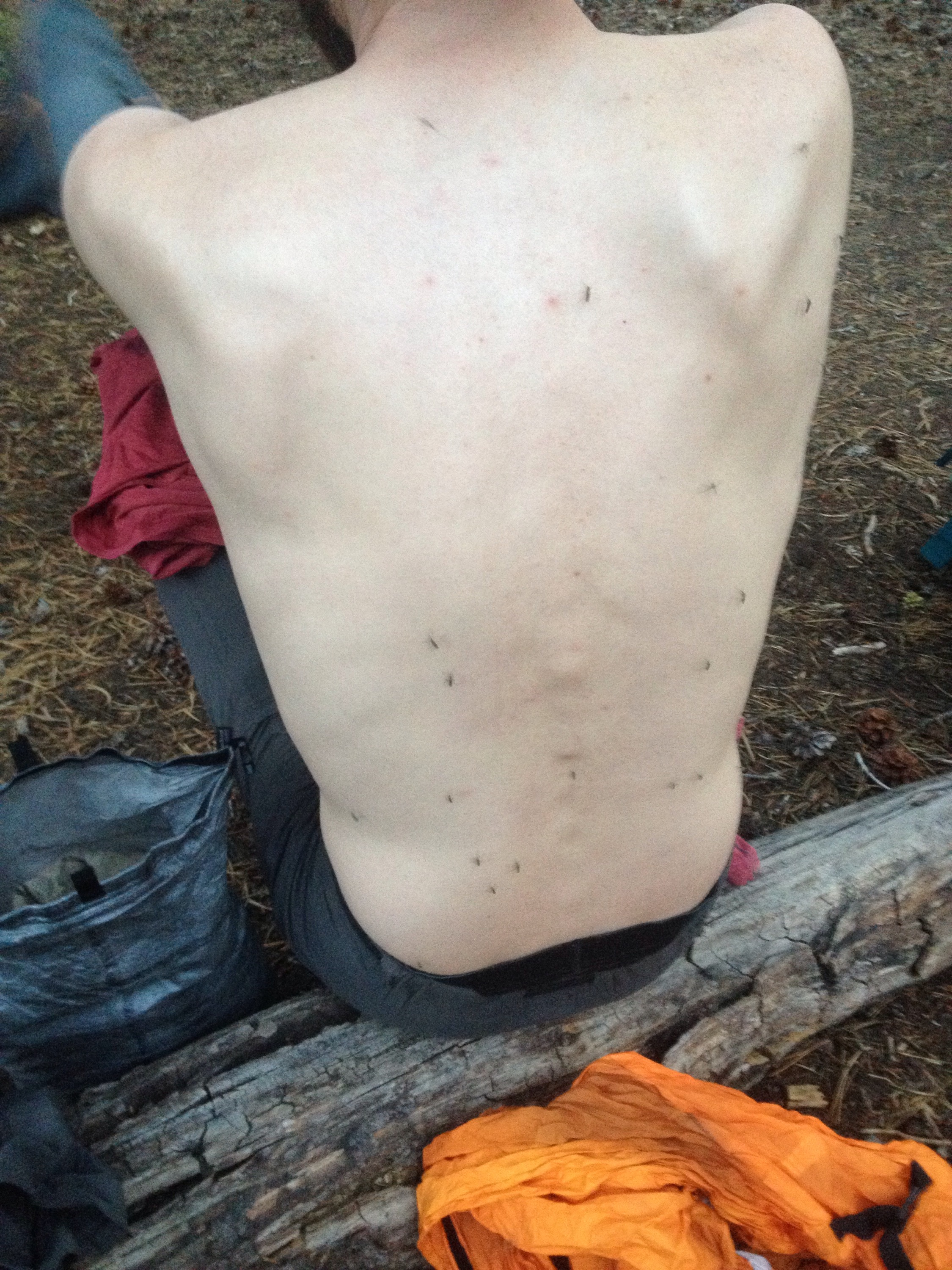
Richard’s back after about 20 seconds of exposure next to Lake Wilma.
 
We stopped at Lake Wilma, and were instantly engulfed in a mosquito cloud. I rushed to set up the tent and Richard applied another layer of deet and got water and made dinner. We ate cheesy rice with more buzz in the background. Then ducked into the sanctuary of the tent.

Mosquito country 

Miles: 941.7 to 963.3

Mileage: 21.6

Day: 57

We’d heard the mosquitoes could be bad north of Tuolumne. But we hear lots of things on the PCT, so we bought a small bottle of deet and didn’t think too much about it. 

Oh, boy! The mosquitoes are bad north of Tuolumne. It’s not a joke. 

It all happened gradually. A few of them buzzing around my head at breaks, no big deal. When we stopped about 12 miles into the day to go to the bathroom, we noticed them. 

They were everywhere and aggressive. They were fighting for any skin they could find. Face, neck, ears, up the nose, shoulders, arms, legs, hands. 

I tried to ignore them. I wanted to avoid using deet if I could. I’d managed to keep from using any bug repellant on the AT and on my National Outdoor Leadership School course in the Yukon. But I couldn’t last out here. It was deet or have my vision blocked by the swarms.

The terrain north of Tuolumne was challenging. Like the southern Sierras, it’s a lot of up and down. Unlike the southern Sierras, the elevation gain and loss is less but it’s done more frequently. 

Before we’d spend three or four hours hiking uphill, then a similar amount of time hiking down. And that was really all we’d have time for in one day. 

North of Tuolumne Falls however, the terrain is more akin to the AT in that it’s pretty much up or down. You gain or lose 500 or 1,000 feet every few miles all day. 


deciding if we have to ford the river.
 
The landscape is beautiful, of course. And our weather has been blue skies and surprisingly warm. 

Other than the mosquitoes, the new challenge has been fords. All of a sudden we’re fording three or four creeks a day. It’s been a huge change for us. 

It’s interesting and can feel refreshing at the heat of the day (we predict the water temperature is in the high 30s). But it can take time because I refuse to wear my hiking shoes through the water. I hate wet feet. Some hikers trunge through but sometimes just standing next to the stream, my toes start to ache.

So off come the shoes, socks, gaiters and tights, if I’m still wearing them from the morning.

Today we had four fords. None have been over my knees and the currents haven’t been too strong yet. Although I still cross with my hip belt unfastened. Just in case I get swept off my feet, the pack will not be able to hold me down. 

Because of our late start leaving the lovely wood heat of the tent cabin, we hiked until 7:30 and still didn’t make our mileage goal.


We ate dinner amid the buzz of mosquitoes and were very thankful for a tent with a full screen liner once we ducked inside our mosquito refuge.

It was a warm night and we slept through the alarm.

Entering Yosemite

Miles: 925.7 to 941.7

Mileage: 16

Day: 56

It rained overnight, but it was the most behaved kind of backcountry precipitation. It didn’t start until we were curled up in our sleeping bags; it was soft and without wind; and it was over well before we had to crawl out of our shelter and start moving. 

In fact, the morning was blue skies.

The climb up to Donahue Pass was fairly well graded. We only had to scramble over a couple of patches of snow. The thing about gradual climbs to passes is that you never quite know when it will end. The land just keeps on appearing over the next rise and the next and the next. With steep passes, you can see from the bottom where you’re going and even though it’s harder work, every time you look up to check your progress and catch your breath, you’re so much closer. 

At the top of the pass, we entered Yosemite National Park. 

The descent started off steeply. We dropped down to a torquoise lake and watched the Upper Tuolumne Meadow get closer and closer. 


It’s hard to see in the lighting, but this lake is a Caribbean water torquoise.
 
By 11 a.m. we were cruising down the west side of the meadow trying to avoid all the standing water on the trail and fantasizing about showers and food. 


Upper meadow walking.
 
We’d booked ourselves a tent cabin at Tuolumne Meadows Lodge as well as reserved our place at dinner. Sleeping in sheets and next to a wood stove were very motivating prospects. 

We made it to the lodge by 2:30. They let us check in early, probably just to get our smelly selves out of their lobby. Then we made our way to the post office. 


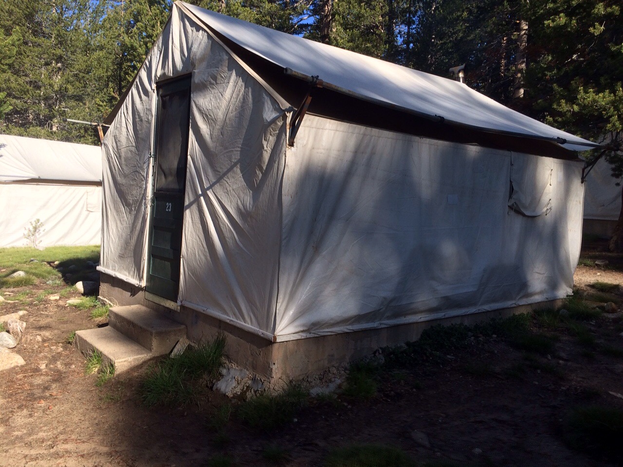
Home, sweet canvas. We recently learned that Yosemite has about 6 tent lodges like this around the park all spaces by about 10 miles. You can hike from one to the next, without more than a day pack and really see a good part of the park. it sounds amazing!!
 
Mom had sent us food packages ages ago when we thought we might make it to Tuolumne before we had to get off the trail in late May. And fortunately for us, the post office dude, Michael, is an amazing human and kept our packages waiting for us even though we were two weeks later than we’d originally thought. We promised him we’d show up and I was happy to keep my promise for so kind a human as Michael. 

After getting our packages and pre-gaming for dinner at the Tuolumne Grill, we took the free shuttle back to the lodge, showered and went to dinner. 

Richard got curry and I got a veggie burger. For dessert I ate a delicious cheesecake. 

The seating was family style, so we shared our table with a couple who were celebrating their 26th wedding anniversary and a family vacationing from Oregon. They were very pleasant company.

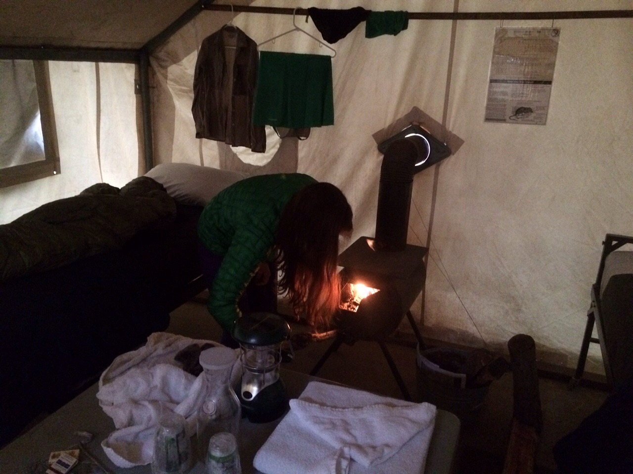
After dinner we finished hand washing select clothing items; mostly socks. And started a roaring fire to encourage it all to dry by morning. 

Go fire! Go!

1000!

Miles: 903.8 to 925.7

Mileage: 21.9, plus 0.6 to Reds Meadow

Day: 55

Today Richard and I hit 1,000 miles on the trail. This figure includes the 80 miles we slacked at the end of May. Yay!

It rained overnight. It’s so nice to be under the cover of a tent in the rain. Hearing the patter on the nylon always makes the rain sound harder and louder than it really is, but even in a sprinkle, I’m glad for a tent. 

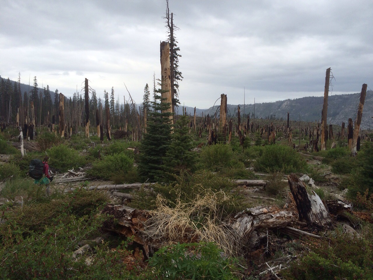
We got moving despite the rain and made it to Reds Meadow in less than an hour. The trail leading to Reds went through the swath of destruction that is the leftovers of the Rainbow Fire from 1992. The healthy trees have made quite the comeback but the fire damaged trees have almost all blown over. And some of them where huge. The trail crew must have come through after a harsh winter or major wind storm blew over all the trees. 


Me walking through the leftover trees from the 1992 Rainbow Fire.
 
Reds Meadow is a store/diner/campground outpost in the middle of the Sierras. Many hikers use it as an access point for Mammoth Lakes, California.

At Reds we ate breakfast, checked the Internet and tried to connect to the real world. We intended to stay just an hour or so, but ended up spending three hours there. 

We got moving again around noon, just as the rain picked back up. We could see the storm following us up the valley and when it hit, we were wet for hours. The sun never really came out, but we trooped north anyway. 

The terrain took us uphill, slowly at first, then steeper, all day. 

The last few miles took us up to then above Thousand Island Lake. It was beautiful in the evening light.

We crossed over Island Pass at 7:40 p.m. The descent to camp was just over a mile.

I set up the tent and Richard made dinner; our usual evening roles.

We ate Spanish rice sitting on our bear canisters and talked about the tent cabin with a wood stove we’d rented for the next night in Tuolumne Meadows.

Big day around 10,000 ft

Miles: 879.3 to 903.8

Mileage: 24.5

Day: 54

We got up and moving before the John Muir Trail hikers. But that’s not saying much. Most JMTers I’ve met so far are on vacation. For thru hikers, it’s more like a summer job. Fun, different, but not a leisurely stroll through the woods. There are miles to make.

To start the day, we had a creek to ford. It wasn’t deep or wide but it was very, very cold. Right after that, the climbing started.


Richard crosses the morning ford. The water temperature is in the mid-to-upper 30s, we guessed.
 
To avoid getting our shoes wet first thing in the morning, we crossed in our camp shoes. For me that’s a pair of green Crocs. For Richard, it’s a pair of Zem running shoes that are designed to allow you to run like you’re bare foot, but protect the foot somewhat.

The climb up to Silver Pass was mostly snow-free, but involved many switchbacks. The sunny morning clouded over pretty quickly, but it was just overcast. No rain or anything. 

After the pass, we had a four-mile downhill through mosquito-country and then two more steep climbs to finish out the day. 

We passed many beautiful alpine lakes and spent most of the day around 10,000 feet.

By the time we made it to camp we were both exhausted and happy to see it.

We made a fire and ate in its warmth.

It rained overnight, but stopped long enough for us to pack up in the morning. 

We still got it

Miles: 852.8 to 879.3

Mileage: 26.5

Day: 53

Today was our longest day in weeks. It was really hard and exhausting, but really nice to know that with normal-weight packs and not super snowy passes, we still have it!

We did just over a marathon. And while it felt like it and we are very tired, I am very satisfied with our progress today.

It also means we can cover fewer miles the next three days and still make it to our next resupply.

The day started sunny and cloudless on a slight downhill. The initial climb up to Selden Pass was steep and warm, but not too terrible. I had some coffee with breakfast, so attribute the smooth climb to caffeine. 

The final climb was at a very relaxed grade. But that also meant that it felt like the top would never come.

The view looking north from Selden Pass was gorgeous! Lakes and cliff lines for miles.


Soft clouds, calm winds, great view.
 
We made great progress coming down the pass and reached the final climb of the day around 4:30 p.m.

We were up and over the “hump,” as we were calling it, by 7 p.m., but it was a tough climb and a long, steep descent. So, not really a hump. More like a — what do you call it? — right. Mountain.

The river felt like it would never come. Switchback after switchback, the sound of the moving water didn’t get louder and I think it was eroding away from us at fantastic speeds. 

We finally made it to the intersection leading to Edison Lake and the Vermillion Valley Resort. From there, it was another (seemingly endless) half mile to camp where we met some lovely southbound John Muir Trail hikers. We enjoyed their campfire and went to bed long before they did.