Miles: 140.3 to 161
Mileage: 20.7
Day: 8
At 5:30 a.m. I woke to hear rain pattering on the tent. I do not enjoy packing up in the rain, but I figured, it’s the desert! How long can this last?
And I was right. The pattering stopped in 15 or 20 minutes and we packed up as usual, just with a damp tent.
The day was cloudy as we started the 10-mile hike to highway 74. Our plan was to cross the highway and put in another 10 or so miles to get as close to mile 162 as we could. At that point, the trail is closed from fire damage that occurred in 2013. Hikers must take the Cedar Spring Trail west off the ridge and hike down to highway 74. From there you walk north to highway 243 and into the town of Idyllwild, a popular stop for PCT hikers.
Just a few miles into our day, we hit fog. Visibility on the PCT is often tens of miles. That day, it was around 50 feet. And cold. With the fog came intermittent waves of rain. Every exposed piece of skin was wet and red from the wind chill. I wore my rain poncho for the first time on the trail. It was really great at keeping my core and pack dry. But my forearms and hands did get cold at times and were wet all day.
I think we were hiking through huge sand dunes, but I’m really not sure. We only got glimpses of the landscape when the wind shifted just right. Plus, my hood kept sliding down over my eyes, so most of my day was spent staring at the ground. It looked sandy.
At the highway crossing we took a short Snickers bar break. The elevation was low enough there that we were just barely below the clouds and rain.
We soon climbed higher.
North of the highway the trail winded through huge boulder fields. If it had been sunny and warm, I would have been tempted to find some lines to climb on the rock.
By 3 p.m. We were high I the ridge and in the middle of a fight between the wind and earth. The gist I got was that the wind wanted the earth to move east and the earth was having none of it. We were constantly battered and blown around.
I gather from speaking with hikers this year that not many people opt to hike to the fire closure and then around to Idyllwild. Most hikers hitch from the highway crossing ten miles south of the closure straight into Idyllwild. Therefore, in the last two years since the closure, that section of trail has seen far fewer hikers than before. And it looks it. The bushes and shrubs — and we’re in the desert, so I’m talking thorny ones — have grown into the trail. You have to push through them and hope your rip-stop gear really is rip-stop. Plus, it was raining, so all those thorny bushes were wet, too. Not that we were dry before, but come on.
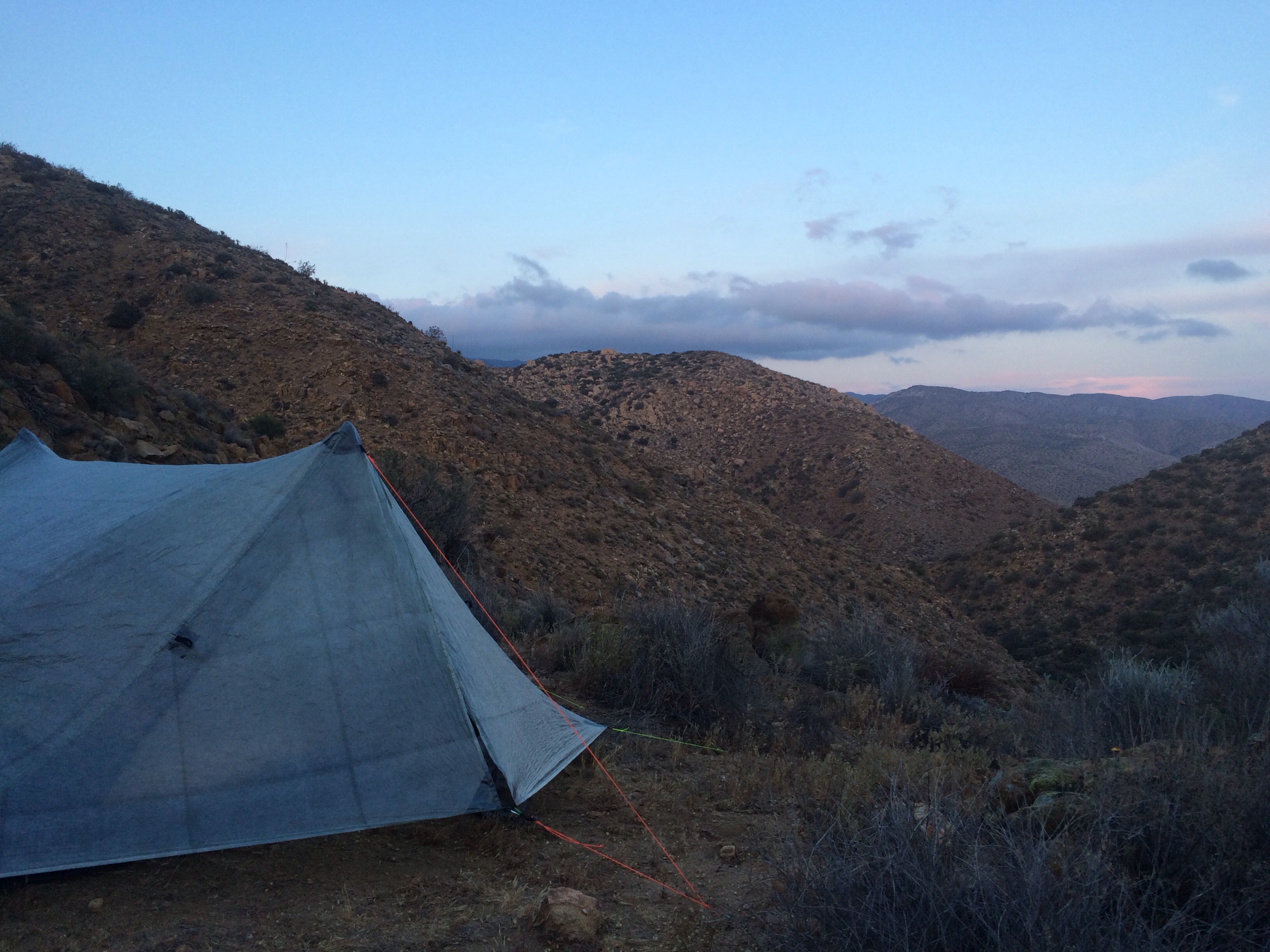
We found a tentsite partially protected by some very brave trees and set up our tent as quickly as we could. By 4:30 we were in our sleeping bags trying to warm up.
Richard, my freaking hero, went back out in the squall to make dinner. I joined him when it was done to eat, but he spent an extra 20 minutes out there and for that I will be enternally grateful.
We spent a loud, cold, wet night on the ridge just hoping this mess would eventually blow itself away.
It didn’t.
