
In college, I was a member of the OSU Mountaineers Club. We organized and led trips for rock climbing, backpacking, ice climbing, sky diving or whatever people were into or wanted to try. It was the first time I really found my community at Ohio State and I met some truly wonderful people there.
At our biweekly meetings, we encouraged members who had taken recent trips to share their photos and plant some seeds of adventure in their fellow outdoors-folk.

One such trip report came from a kid named Eli. He had spent his summer hiking and backpacking in the Pacific Northwest. And one of the hikes he did was called the West Coast Trail.
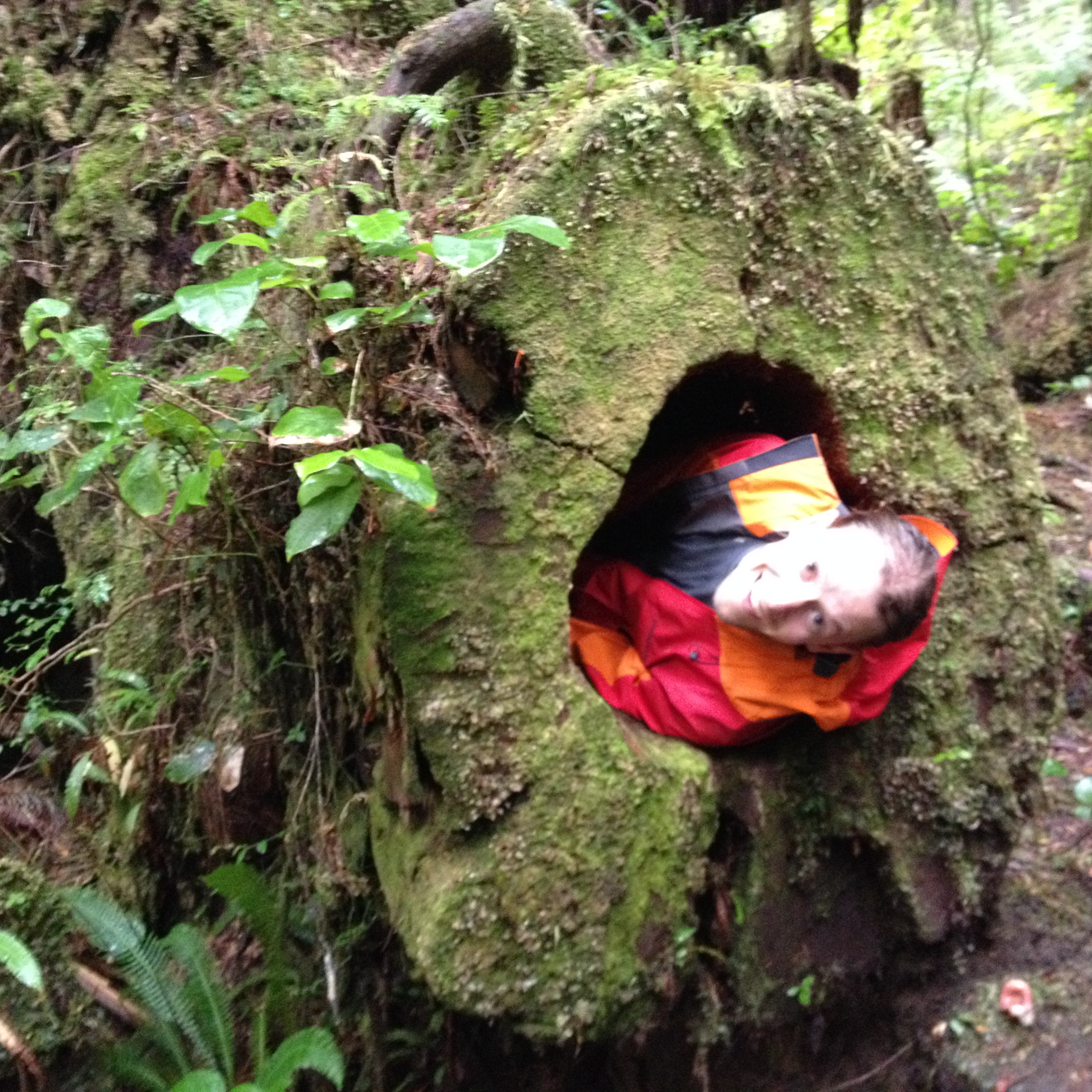
He described a jungle of huge old-growth trees, bear-sightings, river crossings, ladders to climb in and out of canyons and timing the hiking day to the inevitable tides. It sounded amazing! I knew that some day I would hike this trail.
Seven or eight years later, Richard and I were in Whistler, British Columbia for a wilderness medicine conference. While Richard was busy in lecture, I found my way to the local bookstore. While browsing for my next favorite book, I found a guidebook for the West Coast Trail. As I had decided years ago to eventually do the trail, I bought the guide in preparation/inspiration for the day it would finally happen.
That day ended up being September 22, 2014.
Richard and I were looking for some adventure to take on for the month of September — at that point, we were taking at least a few days every month to do something outside that would push our limits.

We bought flights out to Vancouver Island and planned just enough time to hike the trail and get back before work started up again.
The challenging part of the WCT is timing. You have to plan enough time at the start to get a ride to the trailhead, sit through the orientation, hike the very rough 75 km, while making the deadlines for high tide and ferry crossings along the way.
For us, this meant no sleeping in, no stopping for rain and pushing hard every day to make the necessary miles.
While that brought some momentary frustrations, in the end it was completely worth it.
We hiked north to south. About five or six other hikers started the same afternoon as us. The wonderful thing about the WCT was despite sharing the route with maybe 40 other people, we rarely saw anyone else. The camp grounds weren’t overly crowded, and throughout the day we would be lucky to see one or two other people.
Part of this was the time of year. The WCT is a more popular hike in high summer, but I think it worked for the best that we at least felt like we had the place to ourselves.
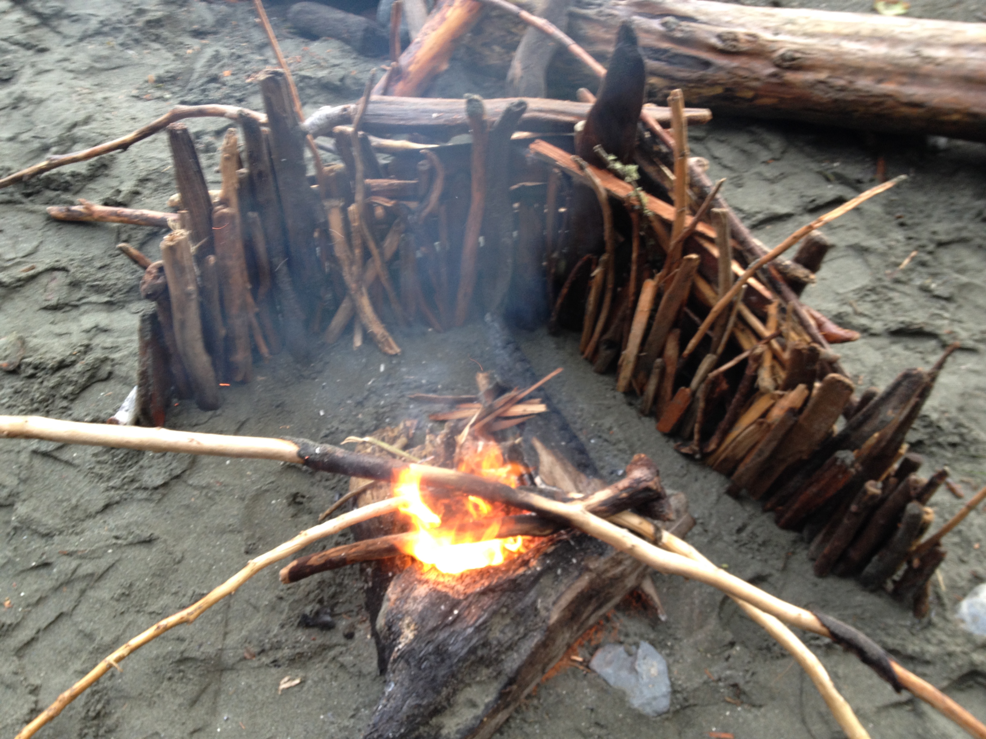
Each night, we camped on the beach with sand bugs jumping into our mac and cheese (to add protein). The mosquitoes weren’t bothersome and we were able to avoid seeing the mountain lions who frequented the area (although, I’m sure they saw us).
The highlight was our slackpack out to the natural sandstone arches on the final morning. We spent the previous covering all but the last six miles of the trail and got to our campsite before dark. We got the first choice in picking our tent spot and lulled away a couple of hours exploring the beach and collecting driftwood for a fire.
We tucked in early so we could get up before light and hike north on the trail about 3 km to the sandstone arches. We passed them the day before on the forest-alternate trail as that section of beach trail requires precision timing. If you get there even a half an hour too early or too late, you are stuck by the tide.
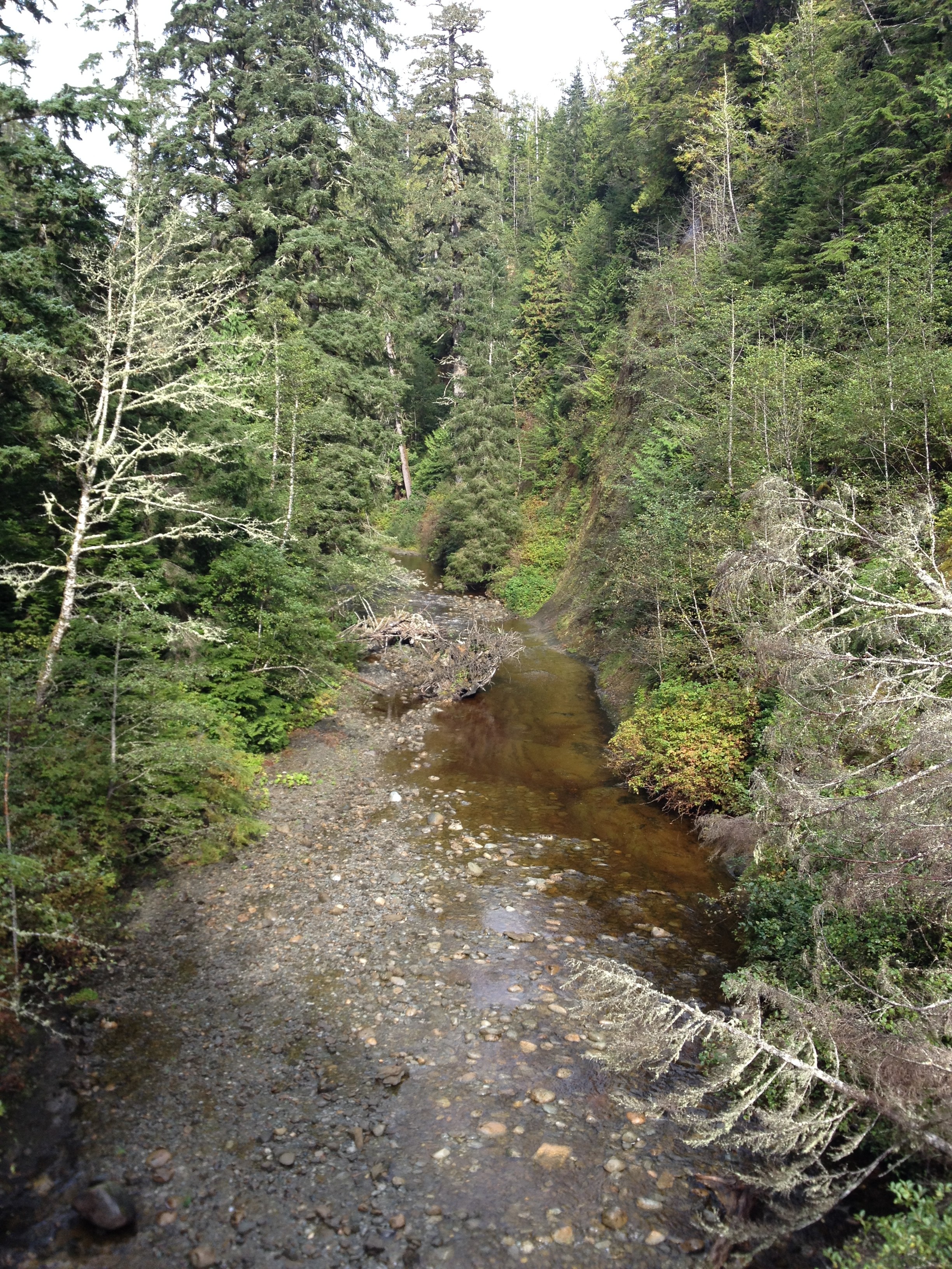
The beach hike required traversing house-sized boulders that cover the coast line in huge piles. It was really quite fun to find our way through the boulders and it was made easier by the fact that we’d left most of our gear at camp and were only carrying food, water and a layer or two.
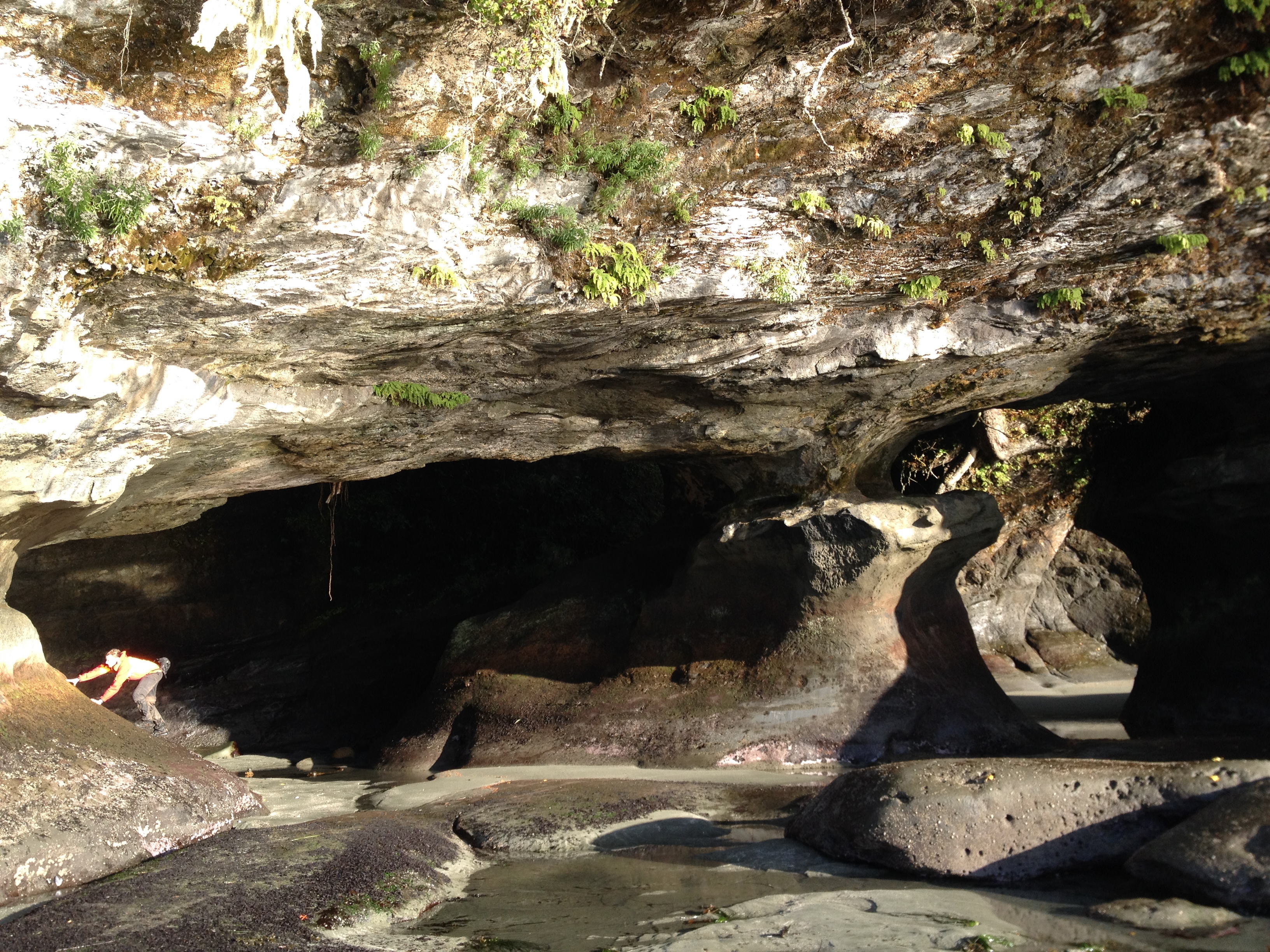
We hit the arches right on time and had the whole beach to ourselves — other than the mountain lion tracks running from the forest to the beach.
By the time we made it back to camp, everyone else who had been sleeping there was gone. We packed up quickly and tried to make good time for the final six miles. We had to make the last ferry crossing by mid-afternoon or we’d miss our bus back to Victoria — and our subsequent flight the next morning.
Those last six miles were the best-maintained of the whole trail (and the weather was sunny and mild — also the nicest of the trail). We made the ferry by 2 p.m. A couple our age from Alberta were also heading back to Victoria and they had a private car. They gave us a ride and dropped us off right outside the Sizzling Tandoor restaurant where we proceeded in eating our weight in delicious Indian food.
