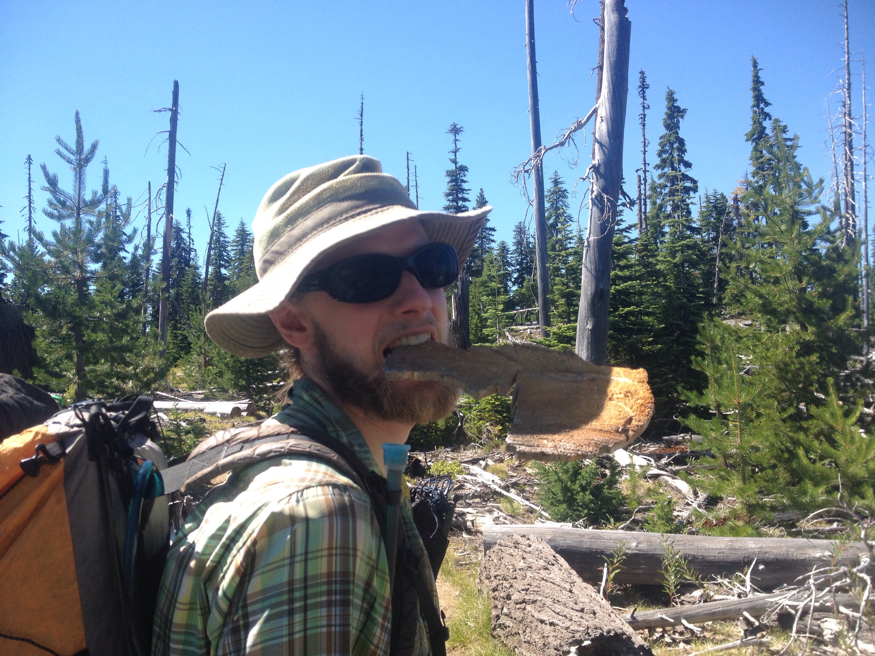
The last of Oregon and our 2015 PCT journey

Miles: 2107 to 2155.1

Mileage: 48.1 (over two days)

Day: 101 and 102

When we put Timberline Lodge to our backs and turned north, the sky was grey. The wind on the ridgeline was powerful and our quick descent below the trees was welcome.

Even though I knew the end was close, the day drudged along. Despite all the wonderful moments of the past 3 months and the amazing experience of it all, both Richard and I were ready to be done. We decided to think of these last two days as just an overnight hike. One more night in the woods and then on to the food, friends and places we’d been dreaming about. Would they be as wonderful as I’d remembered them?

As we left Mt. Hood behind us, we walked through the eroded terrain of the west flank of the mountain. Sand instead of dirt and deep valleys made by thin streams. The sky stayed cloudy until the rain came and then I can’t make a claim as to its color: my head was down.

Being a Sunday, we still saw many hikers enjoying woods despite the weather. Are you thru-hikers? they asked. If we’re stopping in two days, can we still call ourselves thruhikers? Technically, a thruhiker is someone who completes the length of a distance trail in one season. For the PCT, we will never be thruhikers.

But the name isn’t so important to me. The community of hikers on the PCT is made up of all kinds with many variations in their ambitions and goals.

Our journey on the PCT for 2015 was ending, but what we had achieved was great regardless of the fact that our goal had to change partway.

I am very happy we hiked California and Oregon. I look forward to hiking Washington. Just like the Appalachian Trail will always be a part of me, the PCT will too.

We slept up on a ridge. There were trees around us to help slow the wind, but that also meant the there were trees to drip rain on us. A wet sleep for our last night. How fitting.

In the morning, we hiked in the clouds for a few hours. There was very little conversation between us. The mornings had tended to be filled with chatting. It was the afternoons where we escaped to the digital world of podcasts and music. Despite 100 days of being together 24-hours a day (that is not an exaggeration), we still had stuff to talk about every morning, at least.

My left hip did most of the talking. I was very glad to know that rest was ahead of me. Although, rest for an active person is hard. I know it’s good for me, but it’s not my preferred state of being. That said, if I want to be active ever again, I have to let my body recuperate.

The weather cleared and heated up. The last five miles to the Columbia River was downhill, full-on. Again, we could see our goal below us for miles.

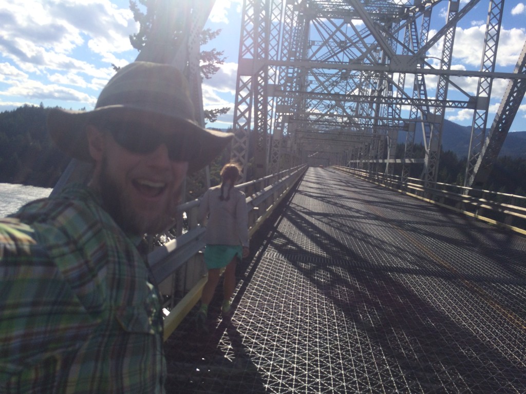
And then all of a sudden, it was over. We popped out of the woods and there was the Bridge of the Gods. We were done.

Or were we?

We decided to walk across the bridge, just in case we didn’t get the chance next summer. Well, Richard decided and I took some convincing. I thought the rock by the parking lot looked more inviting.

Richard’s mom, Terry, walked with us.

Terry met us at the bridge and drove us into Portland where we spent a few days sightseeing and errand-running before our flight back to the east. Terry drove her RV back to Indiana. We’re forever grateful for her help and visit in Oregon!

Since the trail:

My hip is recovering well. But it’s taken a lot of sitting.

Richard flew off to Antarctica and is getting settled in. We’re still figuring out a way to get updates from the ice for everyone to read, but we’ll come up with something.

Thanks to everyone for reading! I look forward to sharing our Washington trail tails and other in between adventures soon!
IMG_3760
Richard and the Oregon woods.
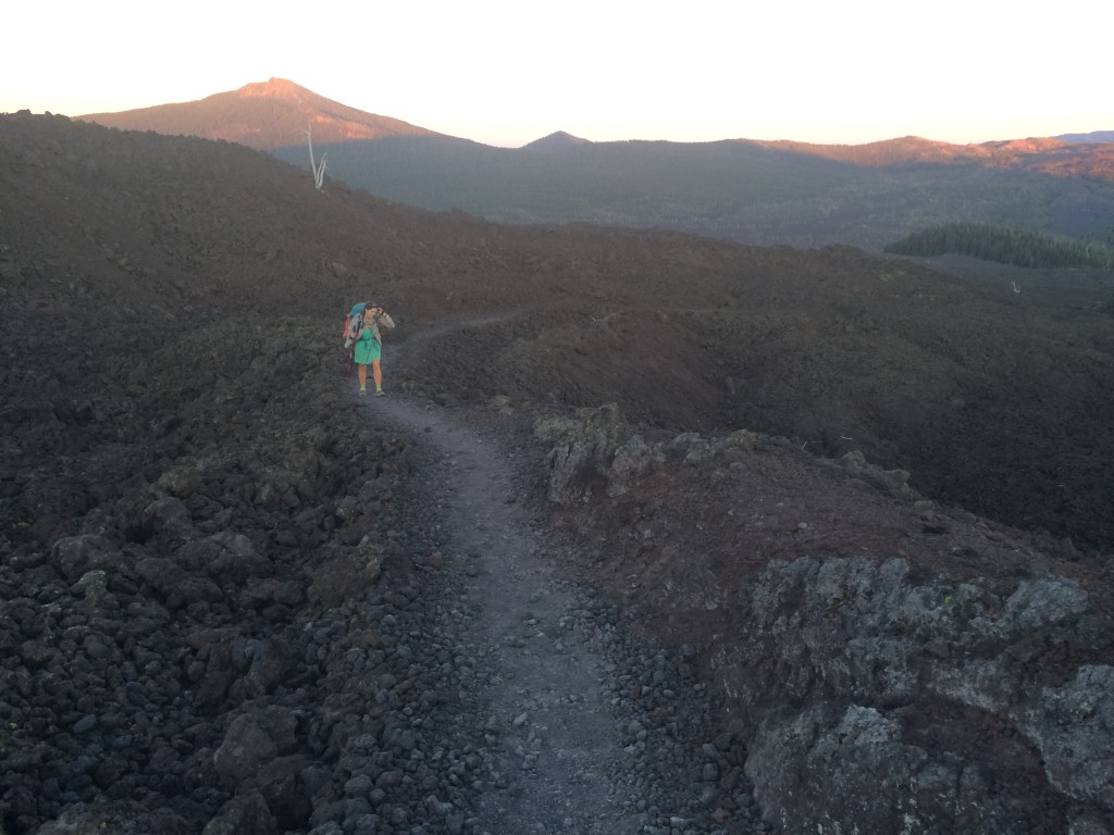
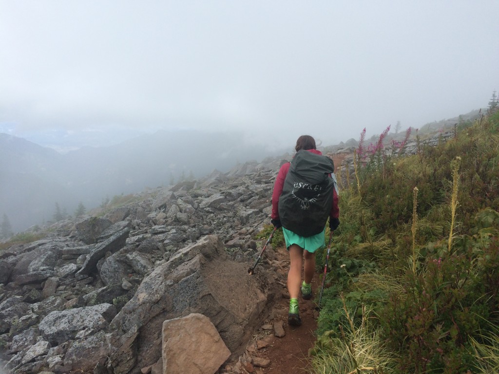
Cloud walking.
Cloud walking.
Bridge of the Gods! Yay!
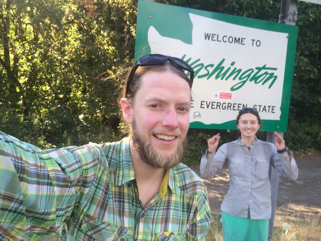
We made it to Washington!

A zero at Timberline

Miles: 2107 to 2107

Mileage: 0

Day: 100

I am so happy to be sitting. I limp with every step, favoring my left hip. The pain isn’t excruciating, but the muscles supporting my hip joint are weak and tired and look like a weeble.

Our rented condo has two floors. Annette and Terry slept upstairs; Richard and I downstairs. The weather is drizzly and gray. Rainy day zeroes are the best. If the weather is nice on a zero, it feels wasted in a way. Who wants to hike in the rain, anyway? Best to sit inside and feel grateful for being dry and warm.

I put my clean body into my clean clothes and we slowly start packing up. We only have the condo for one night, so before we head back up to the lodge to enjoy their famous buffet, we gather our things back into the RV.

On the way up to the lodge, we stop by a drive-in campsite and reserve a spot for the evening. The plan is for Richard and I to set up our tent while Annette and Terry sleep in the RV. It’s already mid-morning and none of us have eaten breakfast. We stop and buy $10 worth of cherries from a man standing in the rain. The cherries are a little bruised but so sweet.

Up at the lodge, we’re early for the lunch buffet and late for breakfast. To kill time, we wander around. The lodge is one of the “Historic Hotels of America” and a “National Historic Landmark.” It was hand built in 1938 and had a hilly history of year-round skiing, gambling, prostitution and eventual success.

We spent most of our time in the main lobby, which has a floor-to-ceiling stone fireplace as the center focal point. A fire was kept roaring all day, motivated by the gloomy weather, regardless of the fact that it was July.

The lunch buffet was delicious, as advertised. My favorite part was the hot chocolate with a shot of espresso.

After lunch, we sat by the fire and chatted and dozed. We eventually strolled back to the RV and to the campsite. Annette napped while Terry, Richard and I played Scrabble.

Because the weather stayed drizzly, we all shared the RV. Packing up a wet tent is unpleasant.

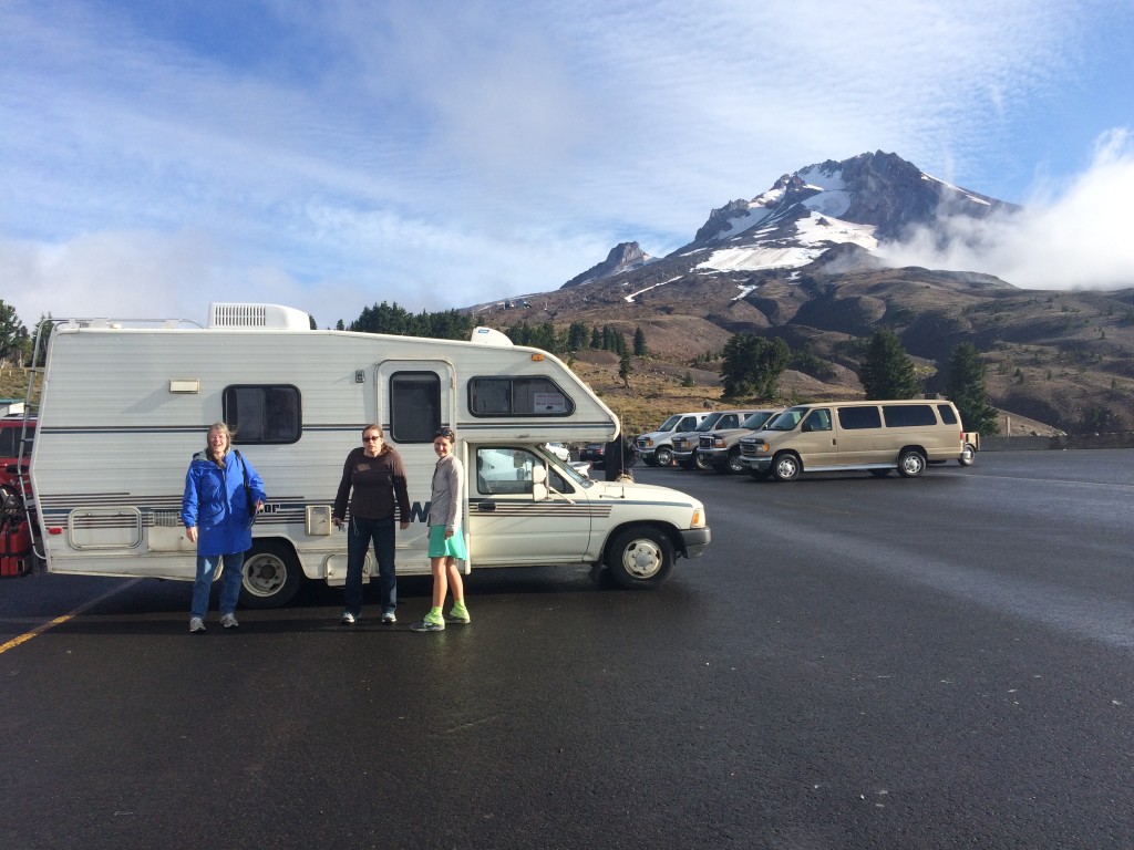
Terry, Annette and I in front of the Winnebago Warrior and Mt. Hood.

A short day up to Timberline

Miles: 2088.5 to 2107

Mileage: 18.5, plus 0.2 to Timberline Lodge

Day: 99

Sleep felt so nice and came so easily. Go figure. After the last four days, both Richard and I were beat.

It was nice to think that we only had 18 miles to Timberline Lodge, but then again, 18 miles never felt so long.

My motivation for the day was two fold: firstly, there is a hot tub at Timberline and I spent the 18 miles imaging myself sitting still in the hot, hot water; secondly, Richard’s mom and sister were meeting us at Timberline for a zero day and visiting.

My left hip had been giving me daily pain for almost a week. I was able to walk through it, but I knew I was creating a lasting injury. But with 200 miles to go before we were done for the summer, it didn’t matter. I would deal with recovery later.

The weather was clear and warm. Most of the day was uphill. Fortunately, it felt much easier than it looked on the elevation profile. Light packs from eating through all our food helped. Both Richard and I were down to about 1,000 calories or so. Not a lot, but civilization was half a day away.

I listened to the last of “I am Malala,” as we climbed up to Timberline. Her story is very inspiring and it helped me walk through the final shoulder before the lodge on Mt. Hood. The entire shoulder is not dirt, but sand. Deep. Dry. Dunes. I’m not sure how that mountain is standing as it seems to be crumbling.

We were within sight of the Lodge by 3 p.m. And, as it always happens, we were stopped by day hikers with questions just steps away from taking off our packs and beginning our period of rest. My most memorable moment akin to this on the A.T. was in West Virginia, just miles from the ATC Headquarters in Harpers Ferry. It had been raining all day and I was soaked and cold. A very nice older gentleman stopped me in the pouring rain to inquire about my hike. When had I started? What was my name? Was I really out here all alone? Geez dude. The rain. The rain. I talked to him until my teeth started chattering and then excused myself to keep hiking and produce more heat.

On the trail just above Timberline Lodge we talked with a man who thruhiked the A.T. in the 1990s. He was very nice. And we encouraged him to explore the PCT.

Soon, we were in the Lodge, checked in for the night and on our way to the hot tub!

We relaxed in the hot water until we got a text message from Annette that they would be arriving soon.

We met them and drove down the hill to our lodgings for the night, in a huge condo rented out by the lodge. Richard made fried eggplant sandwiches and I washed all our clothes twice.

Then showers, visiting and sleep.

IMG_3748
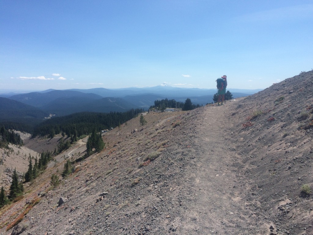
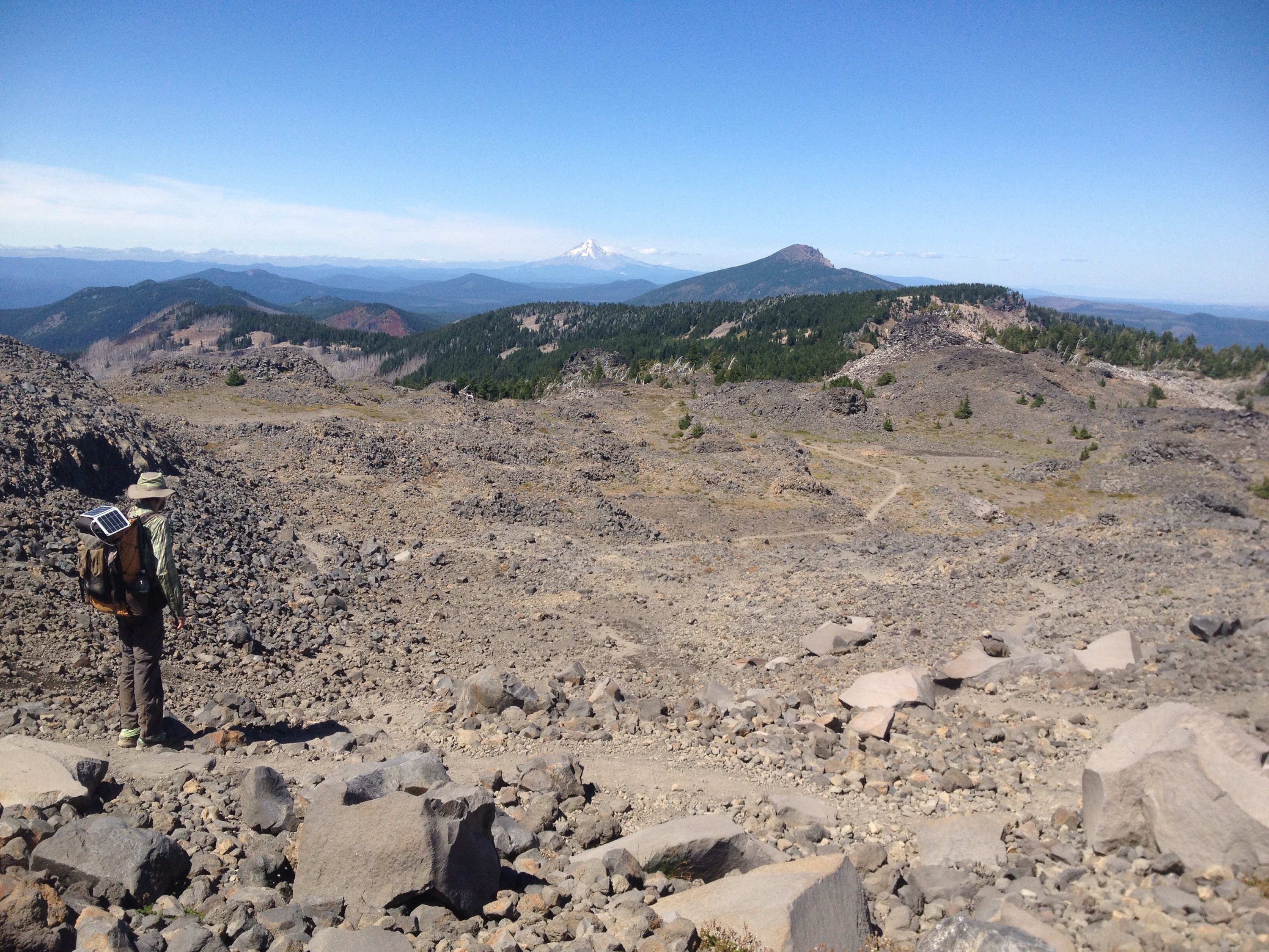
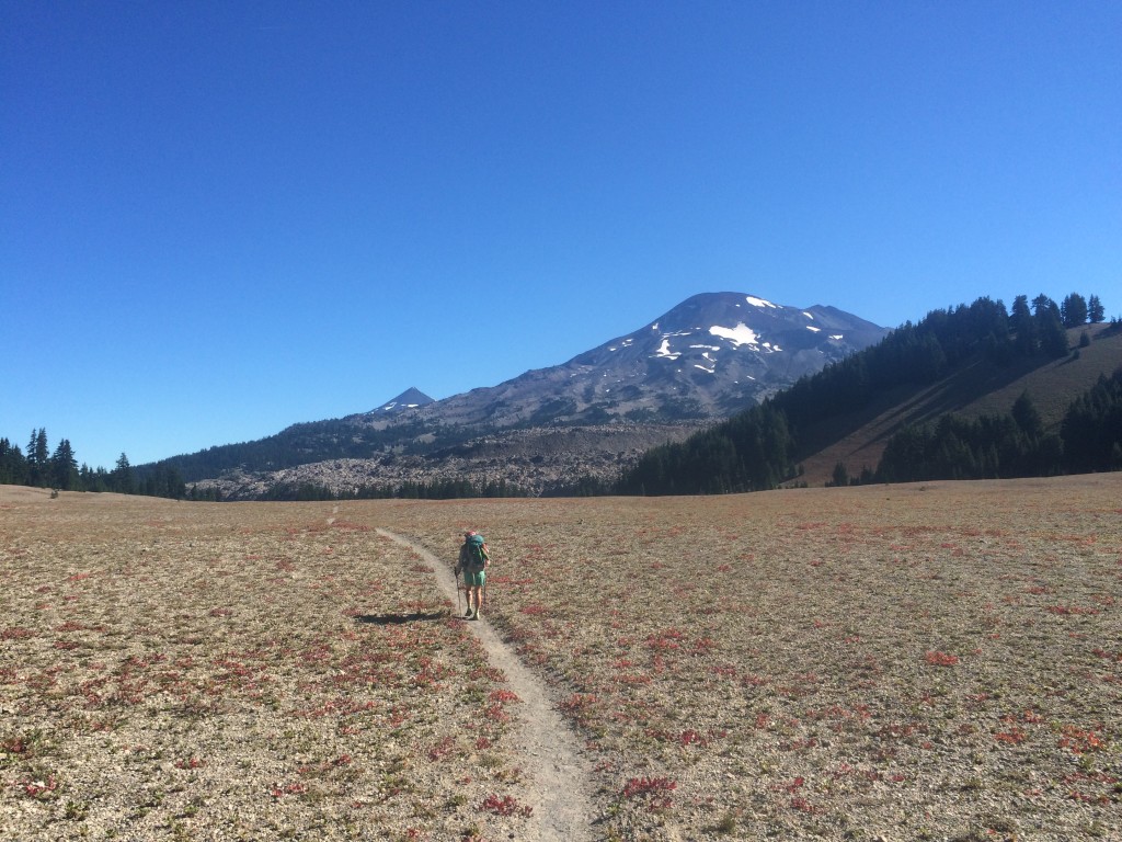
Our first glimpse of the summit. It doesn’t look like it in this photo, but the trail there is all sand.
On the way up Mt. Hood.
IMG_3826
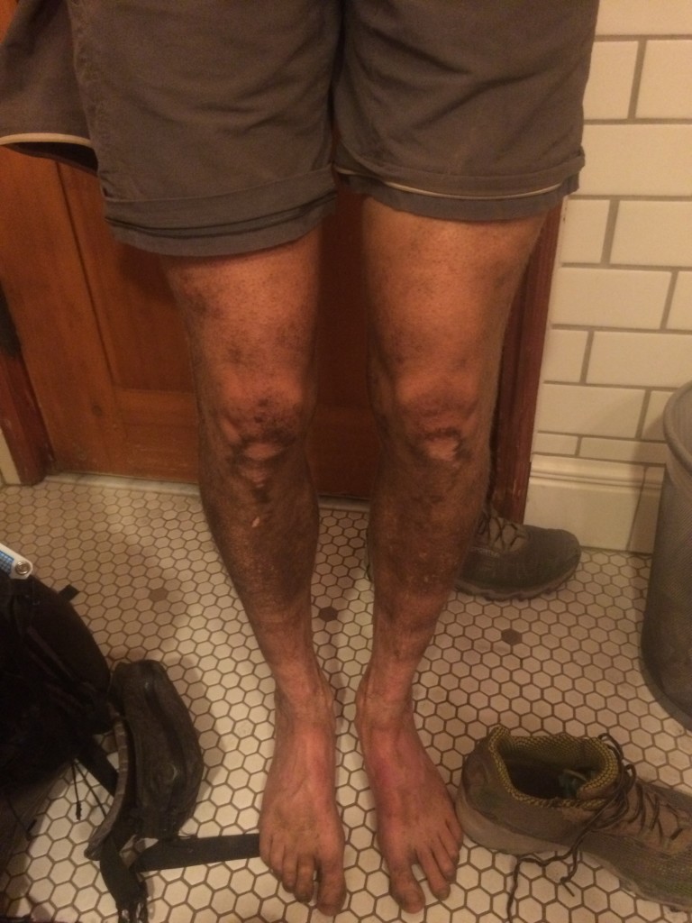
Richard’s legs after five days of hiking on ultra fine dirt. I washed my legs and feet daily, which felt amazing.

And that makes 120+ in four days

Miles: 2058 to 2088.5

Mileage: 30.5

Day: 98

It was another chilly morning spent in gloves and with my hood up. Ultimately, the change is nice. I remember spending nearly the first month of my A.T. hike in gloves wondering when I would ever be able to hike in bare skin. So, a couple of cool mornings is nothing to complain about.

Once the sun came out, things heated up.

Overall, the terrain was fairly flat. Just a couple of Oregon-style climbs (1,000 feet of elevation gain maximum spread out over two or three miles). So gentle.

We took a break near the halfway mark for the day to get water. I ate a sleeve of Oreos and enjoyed every bite. I rarely let myself eat Oreos in my daily life. And I try to appreciate each one on the PCT. They are also one of the rare trail foods that I refuse to eat while walking. It’s not hard to eat Oreos while walking, but it certainly takes some of the pleasure out of it.

The last four or five miles were spent hiking along the shore of Timothy Lake. There were many people camped along the shore at sites you could boat to. It was a Thursday night, so seeing so many people was a little surprising.

We found a bare spot where people had obviously camped before, although I think the Forest Service was trying to deter hikers from using it. Looking back, it was irresponsible of us, but in the moment I was tired from covering 120+ miles in four days and was willing to risk getting caught. And it’s not like we did as much damage as camping on the other side of the trail (which was open to camping) but would have meant clearing a new spot.

Camping along the PCT has very little regulation. I can only think of a couple of areas in all of California and Oregon where camp spots were expressly designated or expressly forbidden. And the resources available for thruhikers don’t mention many nice spots we’ve seen along the way. After a couple hundred miles into our hike, we decided to pick our goals for the day based on the mileage rather than the nearest marked site. Many spots marked in Guthook’s app or Yogi guidebook aren’t great. And many awesome campsites aren’t marked at all. So, most nights it’s simply a matter of finding the nearest flat spot.

We were near the inlet for Timothy Lake and the water was freezing. It was painful to wash off my feet. We had another cold meal — this time it was Ramen noodles. They hydrated nicely, but were not tasty cold.

We climbed into our sleeping bags and were asleep fast.

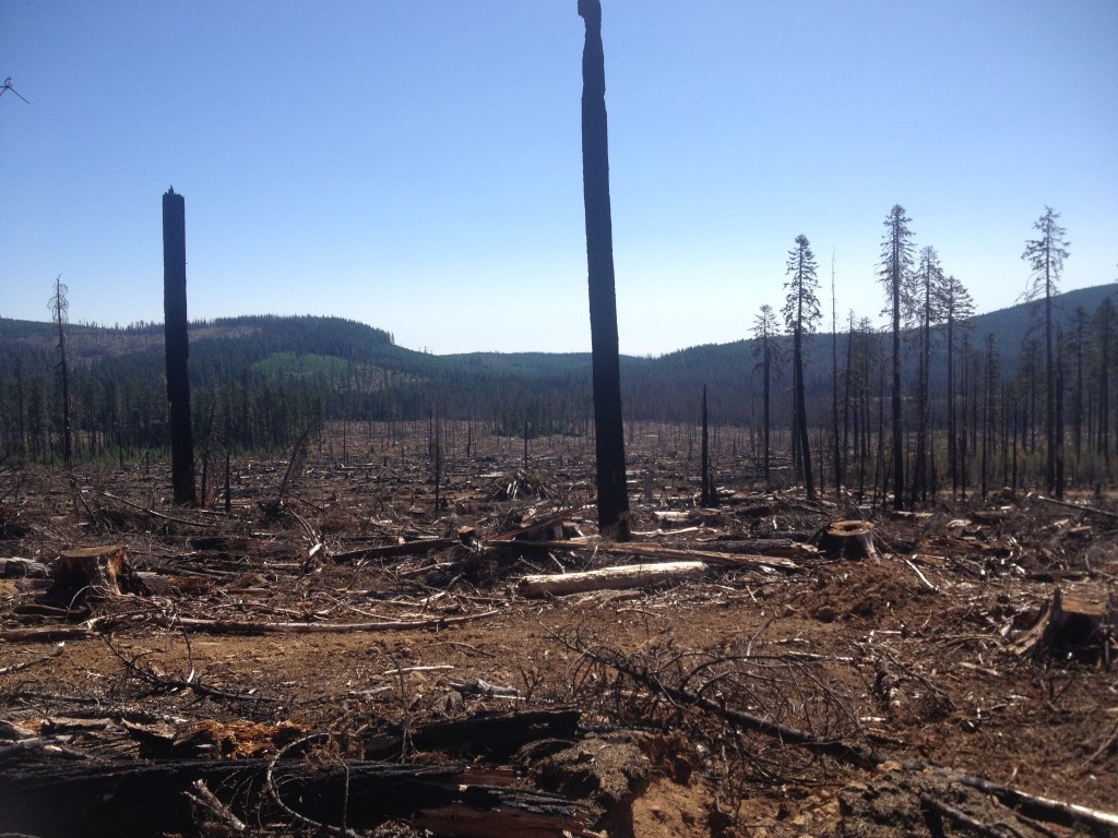
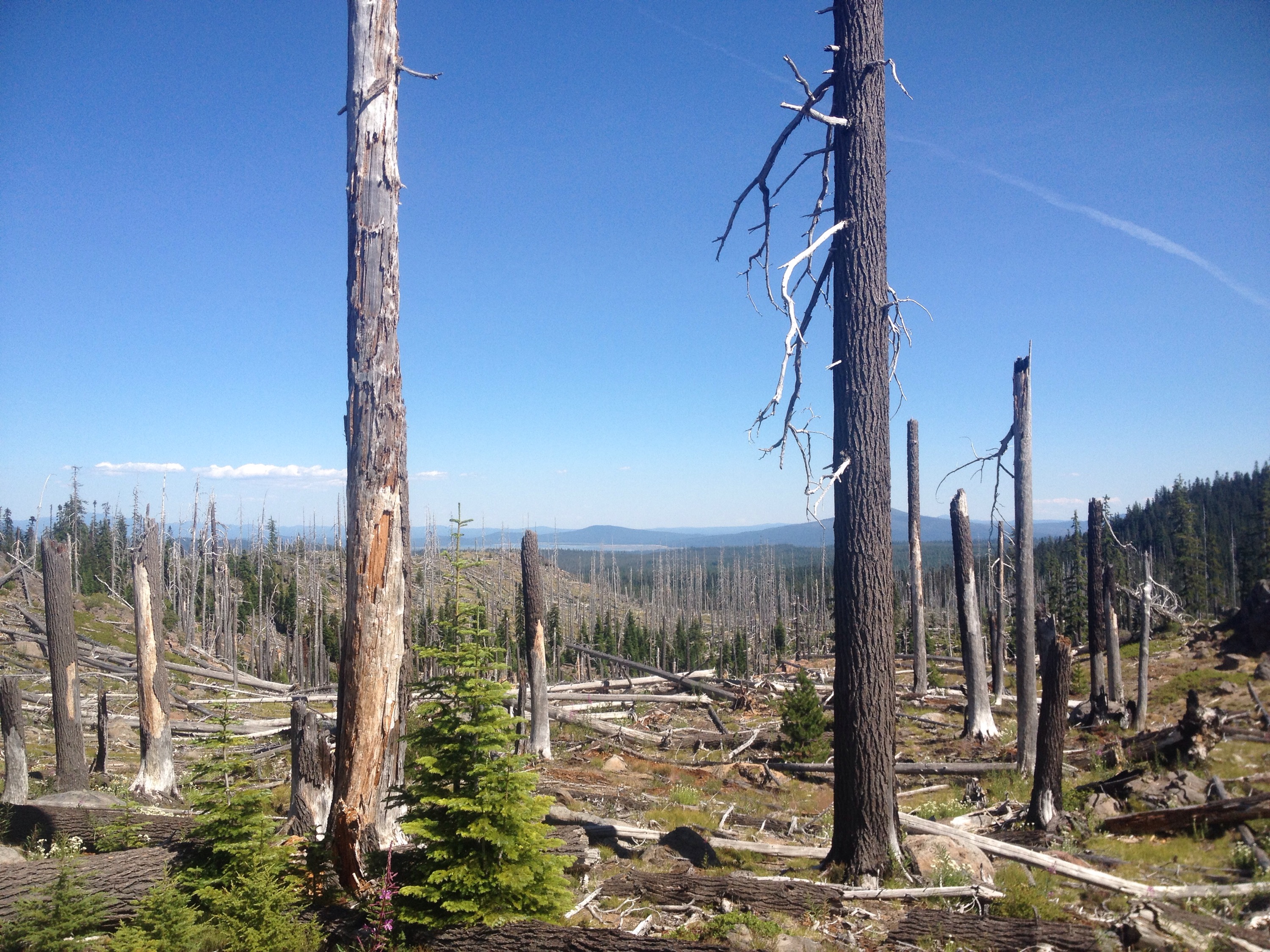
Former wildfire swath that was recently cleared of harvestable trees.
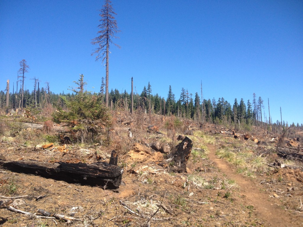
Looking north on the PCT through a former wildfire swath.

A smooth and sunny 30

Miles: 2026 to 2058

Mileage: 32

Day: 97

It was a cold morning up on the ridge. I started with gloves, ear cover and hood up. A cloud sat on our ridge throughout the night, so the tent was wet and heavy.

The day started with a long downhill, so I spent a few hours covered up. The sun provided a lovely warmth, but much of the morning was spent under the cover of large conifers.

On the way down, I felt a new pain in my feet. Sharp, but not strong. Just in between my big and second toes on both feet. I ignored it and kept walking.

We passed a few section hikers and overnighters on our way down to Milk Creek. It was our first silty water source as we headed north to Mt. Hood and its glaciers. It was an interesting crossing as the water was running fast and deep, covering most of the rocks. It took some challenging foot work, but we both made it across with dry feet — the ultimate goal!

On the other side, a trail angel was taking a break with her two sons. She said she usually brought snacks for thruhikers, but there were so few in northern Oregon in July that she hadn’t brought any this time. Instead, she offered us some of her own food. It was okay, I said, we have enough right now.

Later we passed her again and she offered to take our trash. That, I accepted. Anything to lighten the load, even slightly. I doubt a change of an ounce or so makes much difference to my body, but my brain sure likes to think it does.

After we crossed the silty Milk Creek, the big climb of the day started. Eight miles of uphill. We started in the shade. We stopped at a clear-running creek to refill water and rinse socks. The trail has been unbelievably dusty. The ultrafine dirt went straight through shoes and socks and caked to our feet. I took off my shoes to investigate the weird pain between my toes. As it turned out, the constant dirt between my toes had sliced identical cuts at the base of my second toes. Blast. I rinsed them out with a sigh. If my feet could only last a few more days…

About halfway up, the trail entered an open alpine meadow. Lots of false trails took off from the PCT on either side. It was obviously a very popular area that people had walked all over, making their own trails as they went. The fragile alpine grasses were striped.

From there, we kept going up. There were many false summits to the pass we headed toward. More than once we gained a ridge that turned out to be just the shoulder of a higher ridgeline.

Finally, while I was scarfing peanut M&M’s to fuel the climb, we hit the border of the Mt. Hood Wilderness. We were more than halfway to our goal for the day and making fine time. The sun was bright; not many clouds; and we were seeing southbound thruhikers all day long.

The second half of the day seemed long to me, despite our excellent pace. We were on schedule to be at Jude Lake over an hour before dark, which is such a treat! The pain between my toes was getting worse, but I didn’t want to deal with it until we were done walking for the day.

We made it to Jude Lake and had the large campsite to ourselves. We could hear male voices coming from the other side of the lake. Richard made dinner. It set up the tent and cleaned my feet. I love sleeping near water. It’s so nice to be able to rinse my body and clothes of salt and dirt. The cuts weren’t deep or terribly infected. The underlying problem was the dirt dried out my skin so badly that it just cracked like dry skin in winter. I smeared Vasiliene on the cuts and put on clean socks.

The mosquitoes joined us for dinner. We had lukewarm Stroganoff. The fuel canister for our stove ran out. We knew it was getting low and had planned to replace it at Elk Lake. Despite our guidebook saying the resort stocked canister fuel, we found none there. Dinner was edible, but less than pleasant.


Looking down on our path into the Mt. Hood Wilderness.
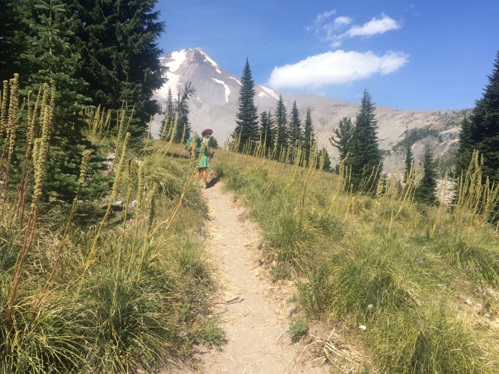
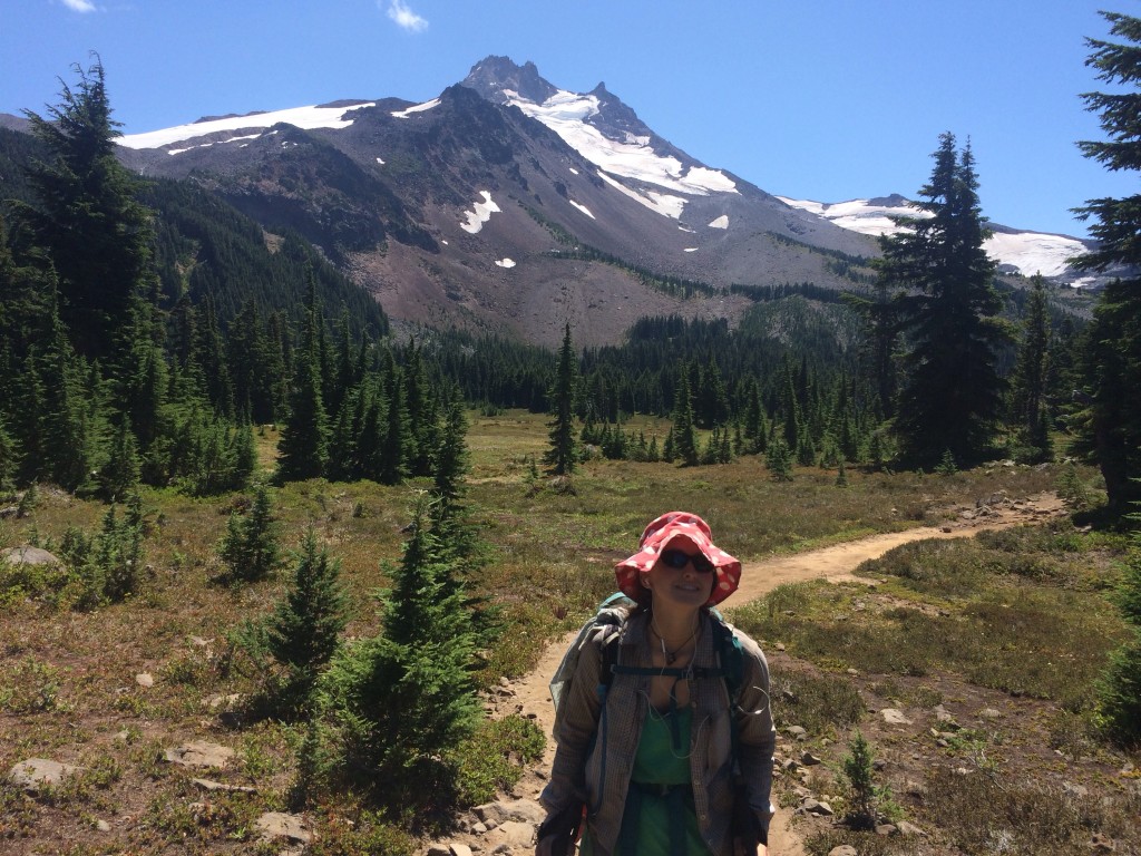
Alpine meadows, the mountain and me.


2,000 miles!

Miles: 1994.7 to 2026

Mileage: 31.3

Day: 96

The alarm went off at 5:30 and 6. Nope. Too early. Richard reset it for 6:30 a.m. Not a huge difference, but enough to make us feel better about getting up.

Despite the direct sun, things took a little while to warm up. The lava walking continued for a few more miles and eventually we got into live trees.

In the afternoon we started hiking up into the Mount Jefferson Wilderness. We had lovely views from the ridge lines down onto lakes.

It was very windy again and I was glad to drop down over to the east side and out of the direct gale.

About four miles from our planned campsite, we got water at Rockpile Lake. Then it was back into the wind. I spent the four-mile walk hoping that our tentsite wouldn’t be on the west face of the ridge.

Just north of Rockpile Lake, we saw a small forest fire. It was below us and west a couple of miles, but still nerve racking. The wind was strong and steady. That is not good for fires.

We passed a southbound hiker who said he’s been seeing spot fires all through Washington and Oregon.

Our campsite was sheltered enough but still up on a ridge. We made mac and cheese and ate as the clouds rolled in.

IMG_3746
Looking south as we descended many switchbacks on the west face of a very windy ridge.
IMG_3742
Eating mac and cheese at sunset.
IMG_3723
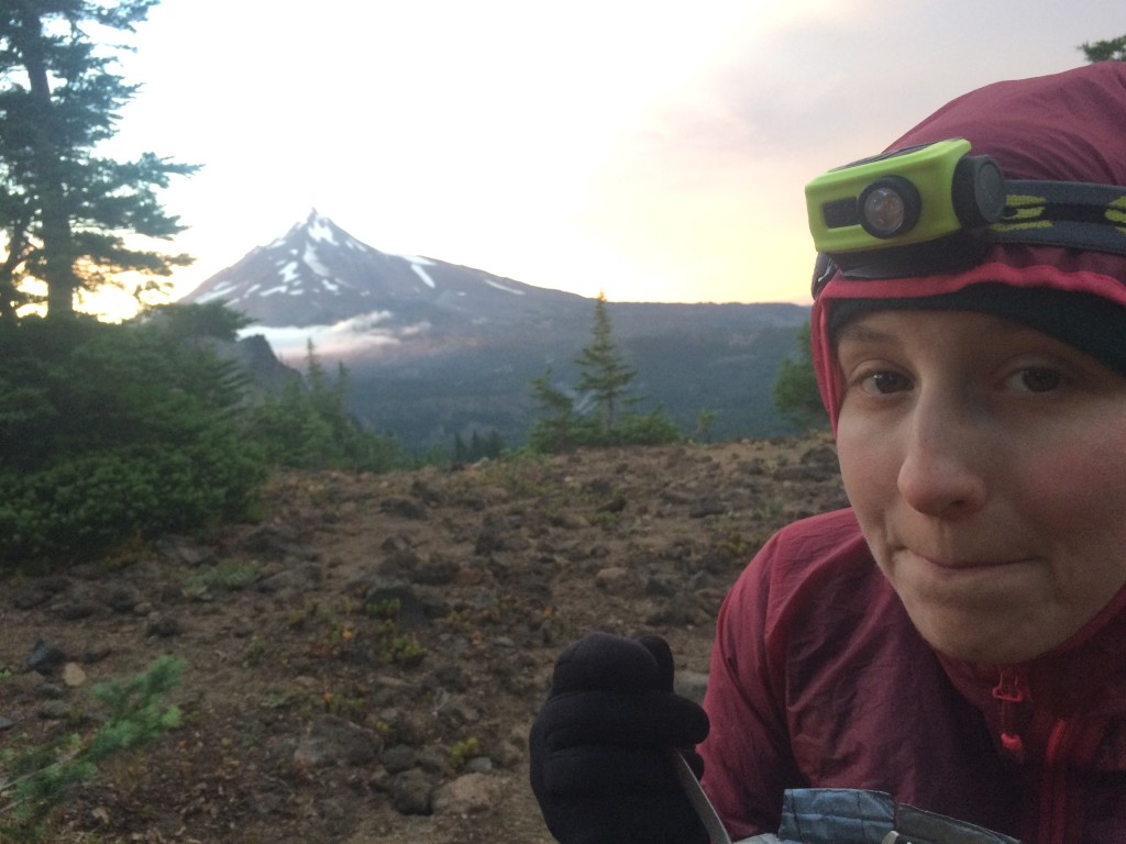
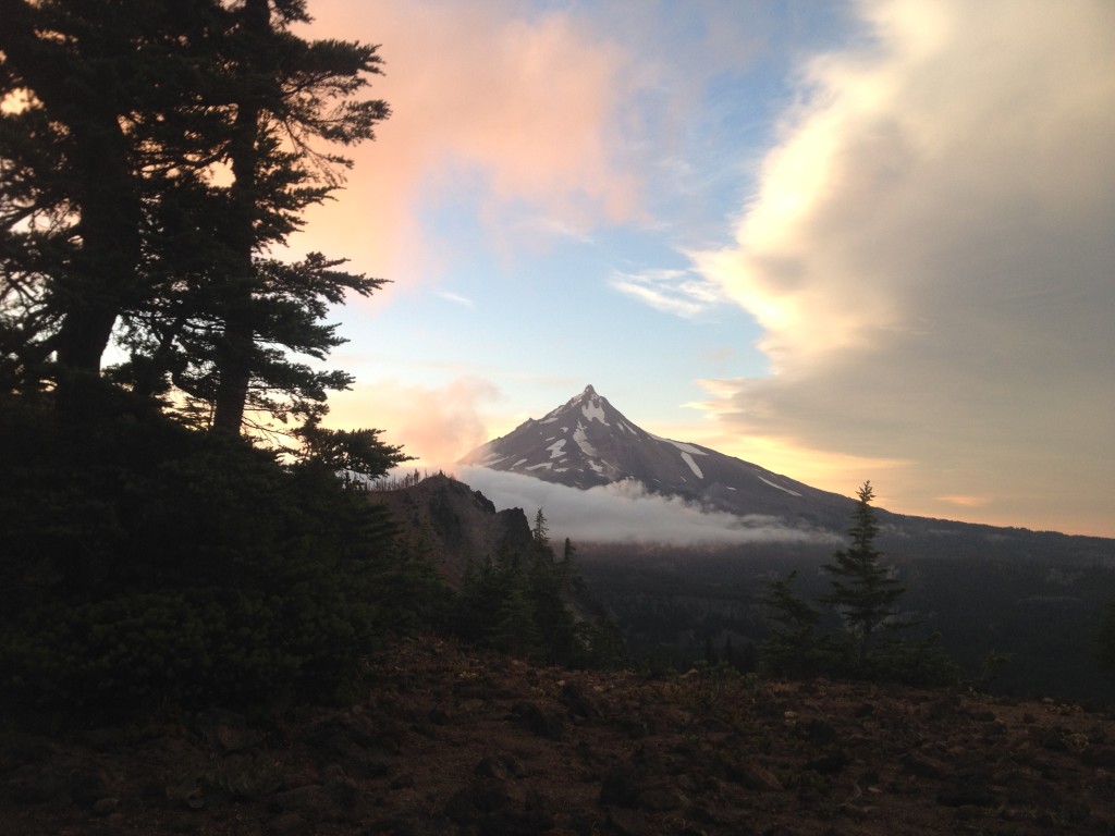
The view from our tent. That’s Mount Jefferson, I believe.

A Jonah Day

Miles: 1964.6 to 1994.7

Mileage: 30.1

Day: 95

Has anyone else read the “Anne of Green Gables” series? When I was a kid, I was pretty much obsessed with these books and Anne, with an “e.” (Side note: one of the things I love about my red sun hat is that, in silhouette with my braids, I think I look like Anne. And that makes me happy because I spent my childhood pretending to be her.)

In book 2, “Anne of Avonlea,” one of the chapters is titled “A Jonah Day.” I assume it’s a bible reference, but I’m not familiar with it that way. What it means to Anne, however, is a nothing-is-easy day.

And that’s just what we had on the PCT today.

We got started at a reasonable time for us but within half an hour we were stopped. Richard had some pressing front country/Internet business to deal with and we were at a spot with cell service. So, we made no progress for an hour.

After we finally got moving again, the trail quickly changed from woods and dirt to lava. Big, roundish lava rocks just ready to twist an ankle and make walking with any pace impossible. We were stumbling down the trail looking like drunkards because the rocks would roll out from under our feet once any weight was put on them. Or the whole trail was loose gravel that sank as you stepped on it.

And then there was the wind. Lava fields do not have trees to break the wind. The poor trees were taken out by the angry mountain. So, in addition to the worst footing ever, we had to fight the wind for purchase on the mountain.

Speaking of weather, it was also hot and dry. And it was day one of a five-day food carry, so our packs were on the heavy side.

All this accumulated to the thing I hate most: night hiking. We didn’t have to hike for too long after dark, but I hate it nonetheless.

I’m not sure why I hate it. I think it’s mostly because I am not a night owl. I like to wind down when it gets dark. For example, be in my sleeping bag.

Eventually, we got to our campsite, set up the tent and crashed very hard.

Here's how we started the day: flat, on dirt.
Here’s how we started the day: flat, on dirt.
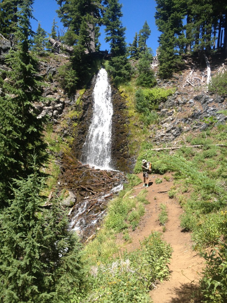
Near half-way we hit Obsidian Falls.
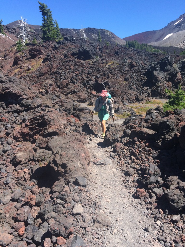
Next came miles and miles of lava.
It was so stark and beautiful, but I had trouble seeing it because taking my eyes off my feet for a moment meant tripping or falling.

Who likes Cheesits?

Miles: 1944.2 to 1964.6

Mileage: 20.4, plus 2.4 to and from Elk Lake resupply

Day: 94

The mosquitoes were back in the morning to wake us. Fortunately, it was on the chilly side, so they moved slowly.

We were motivated to get in the 15 miles we had to cover to get to Elk Lake Resort. There we could get our resupply box, shower, and eat hot, greasy food. But, most importantly, bury ourselves in ice cream.

Because we were so ready to be at Elk Lake, the miles went by slowly. I listened to the end — finally — of “Crime and Punishment.” I say finally because I found that book to be a bit of a chore. The character’s speeches go on for too long, I think. But still, I’m glad I stuck it out.

It’s kind of like the trail that way. It has been months of contradicting experiences and emotions all about the same 18-inch wide band of dirt stretching from the Mexican border, north.

Sometimes I love it; hate it; am challenged by it; am bored of it; wish I was done; wish I never had to stop.

I know I’ll miss it once I’m back in my real life. But, then again, it might be nice to do something different for a change.

Now, about this resupply. I put all 20 food boxes together over a three-day period in early April. After buying an impressive variety of foods from Costco, I did my best to imagine how hungry we would be for each stretch and what we might like to eat. Overall, I think I’ve done pretty well. There’s only a few items I can’t stand anymore and the same is true for Richard. And it’s worked out that what I’m tired of, he’s not and visa versa. So, ultimately, it all gets eaten.

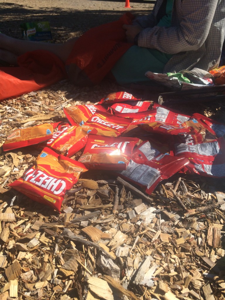
But this box, however, was not my best work. The whole thing is Cheezits. I’m not sure how I did that. I must have been sleepy or something. For a five-day stretch, I packed us 18 bags of Cheezits.

This section of the PCT is brought to you by: Cheezits.

Good thing it’s only five days, because we are going to hate Cheezits by Friday.

Can’t win them all, I suppose.

Well, I guess it’s not ALL Cheezits. I also packed 10 Snickers Bars. I guess I dropped the variety ball.

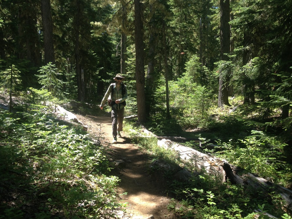
IMG_3699
Richard walking through the Oregon woods.
IMG_3832
Cheezits anyone?


More PCT blogs to come

Hey everybody,

Sorry for the long lapse in blog posts. Richard and I got off the trail in late July and have been trying to reconnect to our real lives, which has been distracting and exhausting.

I still have more to share about our last days in Oregon and they are on their way.

Thanks very much for following our journey all summer!

Just as a quick update: Because Richard got his position in Antarctica, we decided to leave the state of Washington for next summer. But that won’t be our only adventure in 2016, so stay posted!

Steph

On our own again

Miles: 1914 to 1944.2

Mileage: 30.2

Day: 93

After Terry drove us the short distance back to the trail, we hugged and parted ways. 

She went off the pick up Annette, Richard’s sister, from the airport in Eugene and we went north. 

The day got warm, fast. Despite hiking under a fairly consistent canopy, I was sweating and breathing hard. 

We passed a couple of beautiful ponds that I wished we could stop and camp at, but they were miles from our goal. After a couple of steady climbs and descents, the terrain mellowed to very short ups and downs for the remainder of the day. 

The mosquitoes were bad as we hiked around many, many small ponds; some clear and inviting, some brown and swarming with insects. 

We ended the day next to what was labeled as a “scenic” pond. I didn’t get a good look at the pond because all the nice campsites were taken by weekenders. Richard and I picked a flat spot next to the mosquito-ridden vernal pond instead. 

We ate Stronganoff and swatted bugs.


More formerly burned trail.